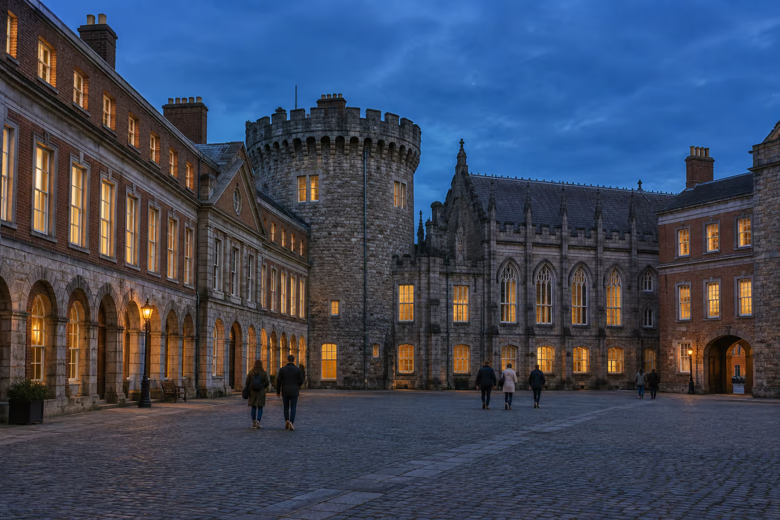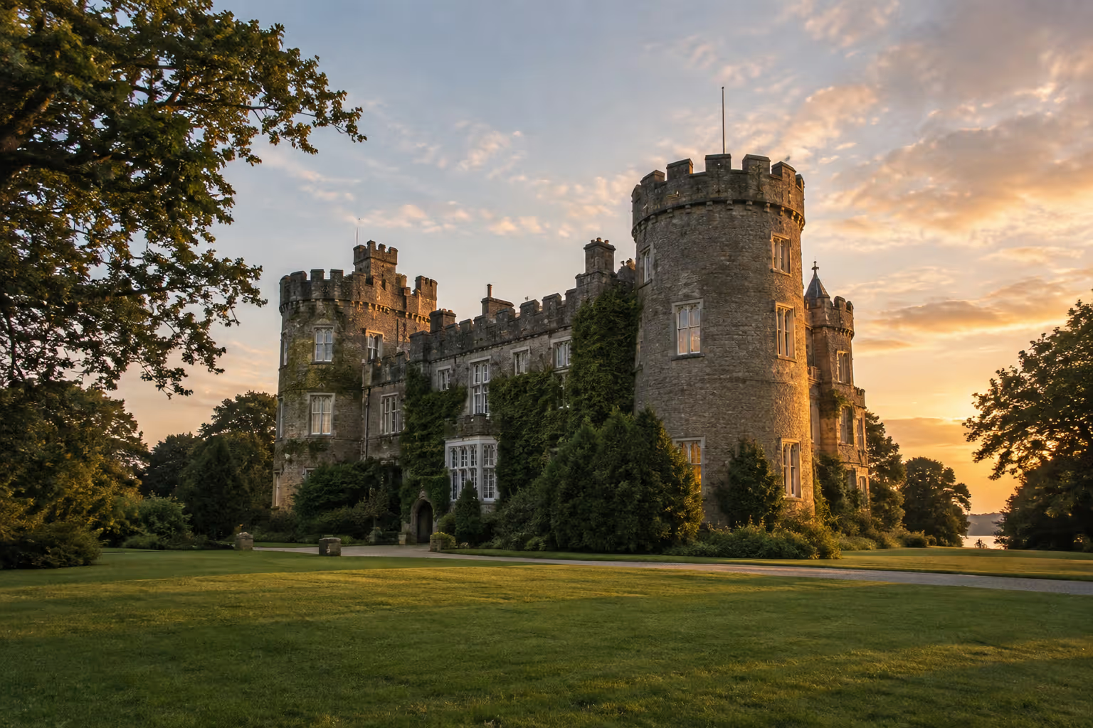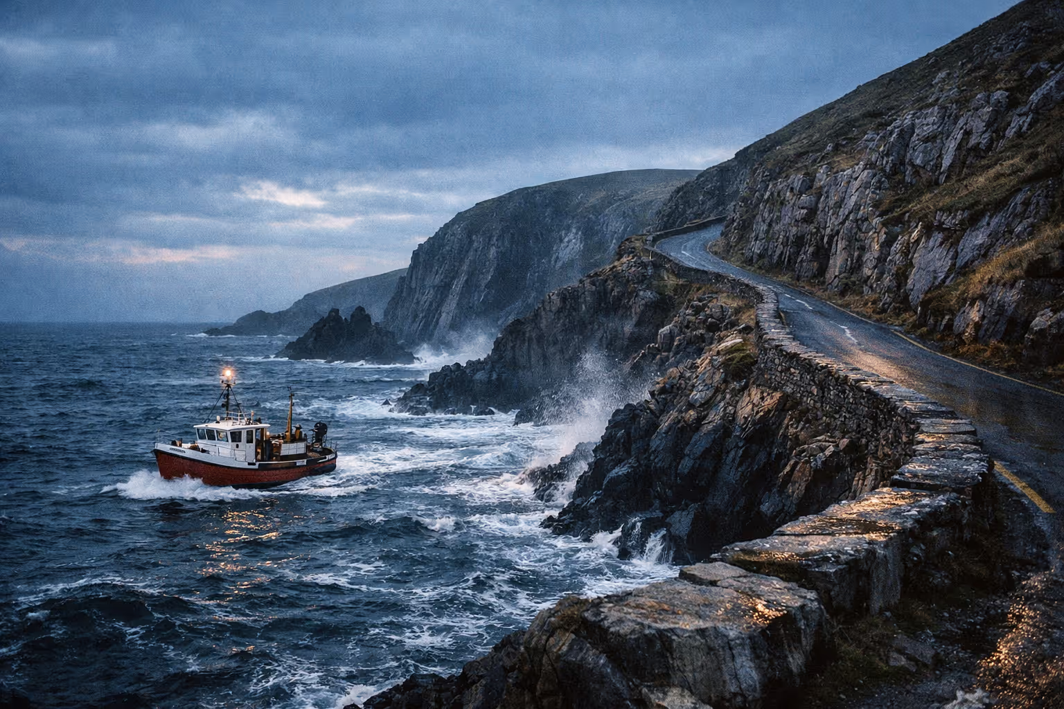
The Wild Atlantic Way stretches roughly 2,500 km (1,553 miles) along Ireland’s west coast, threading through nine counties from the Inishowen Peninsula in County Donegal down to Kinsale in County Cork (2). Most people seriously underestimate what that distance means on these roads. These aren’t motorway kilometres - they’re narrow, winding, stop-every-ten-minutes kilometres marked by blue zig-zag signs and a network of 156 official Discovery Points. You probably won’t cover all of it in one trip, and that’s fine. This guide is about helping you figure out which version of the Wild Atlantic Way fits your time and interests best: the full end-to-end haul, a focused exploration of two or three regions, or a southwest highlights loop.
✓ Pros
- One of the longest signed coastal routes in the world - genuinely spectacular scenery
- Flexible: do the full route or focus on 2-3 regions
- Suits multiple trip styles - slow travel, adventure, fly-and-drive highlights
- Well-signed with blue zig-zag markers and official Discovery Points
- Works for cars, campervans, motorcycles, and cyclists
✗ Cons
- Narrow, winding roads mean 2,500 km takes about 44 hours of actual driving - not a quick spin
- Atlantic weather is unpredictable; rain days will happen
- Key activities (Skellig Michael boat, Aran Islands ferry) book out weeks ahead in peak season
- Generic sat-nav can route you off the WAW entirely
- No viable single public-transport equivalent for the full route
What the Wild Atlantic Way Actually Is: Route, Distance, and Scale of the Wild Atlantic Way
The Wild Atlantic Way is a signed coastal touring route that runs roughly 2,500 km (1,553 miles) from the Inishowen Peninsula in County Donegal down to Kinsale in County Cork, passing through nine counties across three provinces (2). From north to south, these counties are Donegal, Leitrim, Sligo, Mayo, Galway, Clare, Limerick, Kerry, and Cork - covering Ulster, Connacht, and Munster (1). Some sources include side loops and push the total length beyond 2,600 km (1,600 miles).
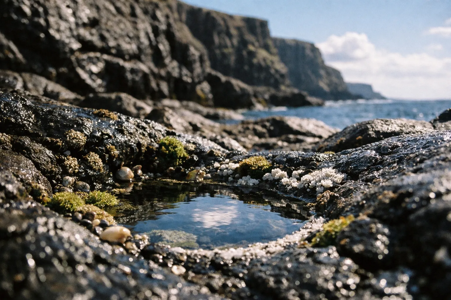
Navigation depends on two things: the blue zig-zag road signs and the Discovery Points - designated viewpoints and stops along the coast, numbering around 156 to 157 depending on the source and current signage (2). Among these, Signature Discovery Points stand out, including Malin Head, Slieve League, the Cliffs of Moher, Skellig Michael, and the Old Head of Kinsale. You can drive north to south or the other way around; there’s no wrong direction.
The 14 Stages at a Glance
The route divides into 14 stages as described in Fáilte Ireland planning materials, grouping the coast into manageable chunks - though the same materials also describe the route in broader regional sections, so treat the stage count as a planning framework rather than a fixed figure. For planning, think of five broad blocks. The Donegal segment - from Malin Head to Slieve League and beyond - covers about 557 km (4). Sligo and Mayo together stretch roughly 625 km (4). The Connemara, Burren, and Cliffs of Moher section is around 527 km (4). Loop Head to Dingle to the Skelligs adds about 541 km, and the final Beara to Mizen to Kinsale block is roughly 463 km (4).
Individual stages give a finer scale: the Inishowen Peninsula stage (Muff to Letterkenny) runs 197 km, and the Ring of Kerry stage (Castlemaine to Kenmare) is 175 km (1). These aren’t short hops.
How to Navigate the Route
Follow the blue zig-zag signs first and use your sat-nav only as a backup. Generic navigation apps often reroute you inland on faster roads, missing the whole point of the coastal drive. Download Fáilte Ireland’s official Wild Atlantic Way maps before you go - the latest update was July 8, 2026, so these maps reflect current signage and Discovery Point locations. For campervans and cyclists, third-party GPX files and route planners refreshed in 2025 and 2026 offer turn-by-turn guidance. Mobile signal can be patchy in Donegal and parts of Connemara, so cache your maps offline.
How Long It Takes to Drive the Route
The full 2,500 km takes about 44 hours of pure driving time, not counting stops (7). That’s the figure that changes most people’s plans. The 100 km/h rural speed limit is theoretical here; between villages, blind bends, single-track sections, and tractors, your real average speed will be much lower. Breaking those 44 hours into a realistic itinerary is key.
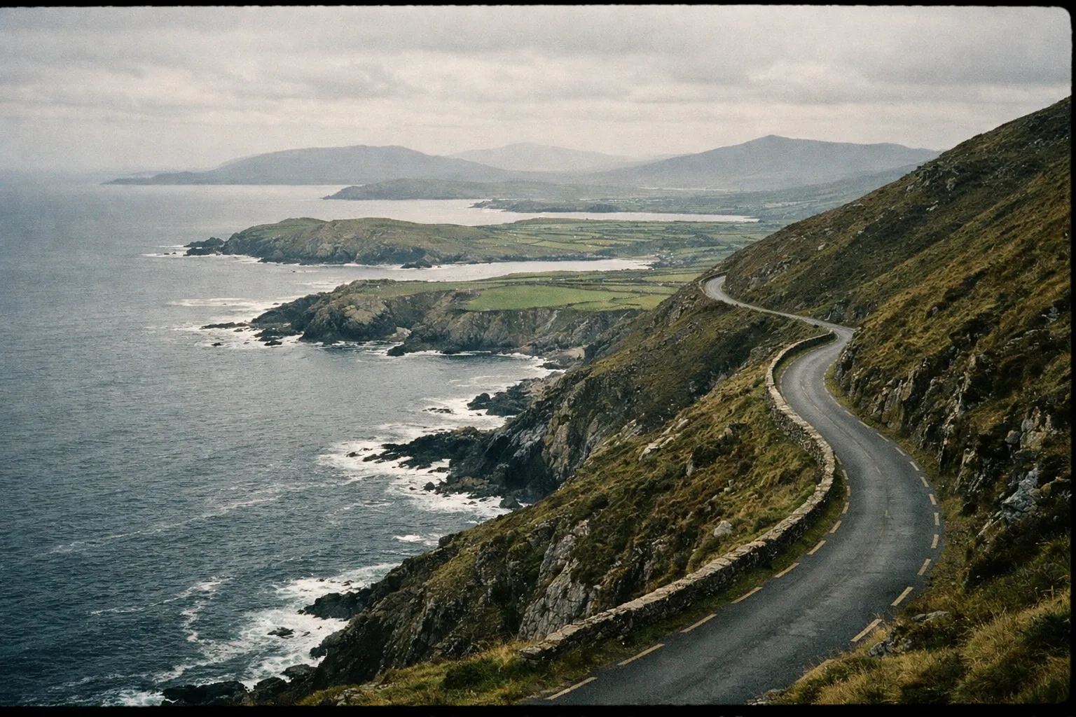
There are three honest time brackets:
- Full route, end-to-end: 10 to 14 days minimum. Seven to ten days is possible but rushed, with skipped sights and no weather cushion
- A substantial portion, like Galway to Cork: 5 to 7 days
- Southwest highlights only, Galway to Clare to Kerry: 4 to 7 days. This is the version I’d recommend to most first-timers
If you have three to four weeks, slow travel - covering 100 to 150 km per day with multi-night bases - is the most rewarding way to do the whole thing.
Daily Driving Load - What’s Realistic
A 10-day end-to-end trip means averaging about 250 km per day, which translates to roughly 3 to 5 hours of actual driving before breaks (7). That sounds manageable until you remember it’s 3 to 5 hours of concentrated driving on narrow roads, not motorway cruising. Add a two-hour cliff walk, a long lunch, and a couple of Discovery Point stops, and a 250 km day can easily turn into a 10-hour day. The 14 official stages provide a natural way to break daily mileage into chunks. The “I’ll do it in a week” plan usually fails here - it treats Wild Atlantic Way kilometres like motorway kilometres, and they’re not.
When to Go - Seasons, Daylight, and Weather Reality
May through July offers the longest daylight hours on the west coast, which is the biggest practical advantage for this route. Long evenings mean you can still be driving coastal roads at 7 or 8 PM in good light, hike after dinner, and photograph headlands once the tour buses have left. The tradeoff is higher prices and the need to book accommodation and activities well in advance.
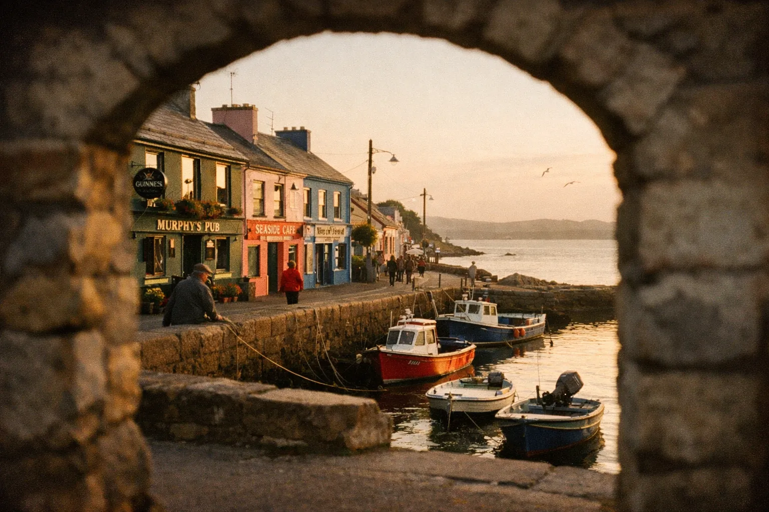
August is warm-ish by Irish standards but busy, coinciding with school holidays. Book everything early: Skellig Michael boats and Aran Islands ferries sell out weeks ahead. September and October are the shoulder-season sweet spot: fewer crowds, still decent daylight, and autumn colours arriving in Connemara and Kerry. For a fuller breakdown of how each season affects costs and crowds across the country, the best time to visit Ireland guide covers the tradeoffs in detail.
November to January is a different trip altogether. Short days shrink your safe daily driving range, and Atlantic storms can close exposed cliff walks and cancel boat trips. It’s not a good season for first-timers. Whatever month you choose, build in one or two flex days. Atlantic weather can strand you or gift you with extraordinary light - plan for both. Skellig Michael boat trips run roughly May to September, weather permitting; Aran Islands ferries operate year-round but on reduced winter schedules.
Choosing Your Trip Format - Full Route vs. Regional Focus
There are three realistic formats, and choosing the right one shapes everything else.
Wild Atlantic Way Trip Format Comparison
| Full end-to-end | Regional focus | Highlights fly-and-drive | Slow travel | |
|---|---|---|---|---|
| Duration | 10-14 days | 4-7 days per region | 7-9 days | 3-4 weeks |
| Distance Covered | about 2,500 km, all 9 counties | 450-625 km per region | about 1,000-1,500 km | Full route, 100-150 km/day |
| Best For | Dedicated road-trippers with time | Deeper exploration, less fatigue | First-timers, limited annual leave | Those who want to linger |
| Key Tradeoff | Demanding; daily driving load is real | Miss other regions entirely | Skips Donegal and north entirely | Requires significant time off |
Using Regional Bases to Cut Driving Fatigue
Staying two or three nights in a hub town lets you do day trips of 150 to 250 km without the daily grind of packing and unpacking. Galway is the natural base for Connemara, the Burren, and the Cliffs of Moher. Killarney covers the Ring of Kerry and Killarney National Park. Westport puts you close to Achill Island, Croagh Patrick, and the Great Western Greenway, with Connemara and Sligo within a two-hour drive. Dingle anchors the Slea Head loop and Conor Pass, while Donegal Town works for Slieve League and southern Donegal. Because the route stretches across nine counties, smart hub-town planning saves you from repeated long transfers (1).
Budget travellers often chain campsites and hostels with supermarket self-catering; mid-range and luxury travellers build around boutique guesthouses and castle hotels in hub towns. For the full route, a self-drive car or campervan is the only practical option - public transport covers segments but adds significant time.
Planning Your Wild Atlantic Way Trip - Step by Step
About 1 hourA practical sequence to plan your WAW trip effectively
- 1
Decide your total available days
Be honest about how much time you can realistically spend on the trip.
- 2
Choose your trip format
Pick from full route, regional focus, or highlights fly-and-drive based on your time and interests.
- 3
Pick your direction and entry airport
Decide whether to start north or south, and choose Dublin, Shannon, or Cork Airport accordingly.
- 4
Identify non-negotiable stops
Book key activities like Skellig Michael and Aran Islands ferries early.
- 5
Build your base towns
Plan 2-3 nights in hubs like Galway, Killarney, Westport, or Dingle for day loops.
- 6
Fill in day-loop drives
Keep daily drives between 150 and 250 km to avoid fatigue.
- 7
Add weather flex days
Leave 1-2 days open to accommodate Atlantic weather disruptions.
- 8
Download WAW-specific maps or GPX files
Use official resources rather than generic sat-nav for navigation.
The Route North - Donegal, Sligo, and Mayo
The northern third is where many guides fall short, yet it features some of the most dramatic and least crowded scenery on the Wild Atlantic Way. The Donegal segment alone covers about 557 km, with Sligo and Mayo adding roughly 625 km (4).
Donegal - Malin Head to Slieve League
Malin Head is Ireland’s northernmost point and a Signature Discovery Point - the natural start or end of the whole route (2). Fanad Head lighthouse, further west, has one of the most photogenic settings along the entire drive. But the real standout is Slieve League: among Europe’s highest sea cliffs, taller than the Cliffs of Moher, and with far fewer visitors. You can drive to a viewpoint or walk the exposed One Man’s Pass ridge if you’re comfortable with heights.
Worth the detour: Slieve League early in the morning, before the tour buses arrive. Glenveagh National Park deserves a half-day if you have time, with its lake and castle. Skip if short on time: don’t try to hit every minor Discovery Point on the Inishowen Peninsula; focus on the Malin Head and Fanad Head cluster, which sit within 30 to 80 km of each other.
Sligo and Mayo - Surf, Sea Stacks, and Achill Island
Sligo is surf country. Strandhill and Mullaghmore offer serious breaks, and Mullaghmore Head is dramatic in any weather. Ben Bulben, the flat-topped mountain visible from the coast road, dominates the skyline, and Carrowmore Megalithic Cemetery adds Neolithic archaeology if you want a break from the coast.
In Mayo, Downpatrick Head delivers a striking sea stack, and Keem Strand on Achill Island is one of the most photogenic beaches on the route - the drive down to the beach is genuinely one of the best on the Wild Atlantic Way. Croagh Patrick, Ireland’s holy mountain, is hikeable in 3 to 4 hours and rewards you with wide views over Clew Bay. Westport is the practical base for all of this. Mayo’s mix of a 6,000-year-old field system, Ireland’s highest sea cliffs, and a Marian shrine within a two-hour drive is unusual, and it rewards travellers who slow down and use two or three bases.
The Route Middle - Connemara, the Aran Islands, and the Burren
The Galway and Clare section is the most visited stretch and the natural focus for first-timers. The Connemara, Burren, and Cliffs of Moher block runs about 527 km (4).
Connemara - Clifden, Kylemore, and the National Park
Galway city is the gateway, and Clifden is Connemara’s regional capital - colourful streets, seafood restaurants, and pubs with trad music sessions. The Sky Road, a 16 km scenic coastal loop out of Clifden, packs bog, ocean, and the Twelve Bens into a short drive; tackle it before 9 AM or after 5 PM to avoid congestion. Kylemore Abbey, a 19th-century castle-turned-abbey on a lake, drew 573,000 visitors from 82 countries in 2024, so book ahead - admission is $19.50 USD per adult, per Kylemore Abbey’s official visitor information. Visiting before 10 AM or between 3:30 and 5 PM helps dodge coach crowds. Killary Harbour is often described as Ireland’s only fjord. Connemara National Park near Letterfrack is free, and the Diamond Hill trail (about 7 km, roughly 500 m elevation gain, 2 to 3 hours for the upper loop) is the standout walk.
The full scenic loop - Galway to Clifden to Sky Road to Kylemore to Killary Harbour and back - takes about 6 to 7 hours with stops. Give Connemara two or three days rather than a single-day sprint.
Cliffs of Moher and the Burren - County Clare’s Coastal Highlights
Yes, the Cliffs of Moher are on the route - they’re one of the official Signature Discovery Points, roughly mid-route in County Clare (2). The cliff face rises more than 700 feet and draws tour-bus crowds mid-morning to mid-afternoon. Visit early morning or after 5 PM, or take a boat cruise from Doolin to see the cliffs from sea level - this offers a genuinely different perspective.
The Burren, Clare’s limestone karst landscape, pairs naturally with the cliffs. Poulnabrone Dolmen is a Neolithic portal tomb that’s worth a short stop, and Aillwee Cave offers an underground option on wet days. If the Cliffs of Moher feel too crowded, the Loop Head Peninsula is a quieter, equally dramatic alternative that most visitors skip.
Aran Islands - Planning the Detour
The Aran Islands are reached by ferry from Doolin or Rossaveal. The standout is Dún Aonghasa, a prehistoric stone fort on Inis Mór and a Signature Discovery Point. The critical planning note: treat this as a non-transfer day. Ferry departure times are fixed and won’t mesh with any long drives you try to squeeze around them. Book ferries in advance in peak season and give the island a full day rather than a rushed half-day.
The Route South - Kerry’s Peninsulas and West Cork
The southwest is the most iconic and most searched part of the route. The Loop Head to Dingle to Skelligs section covers about 541 km, and Beara to Mizen to Kinsale adds roughly 463 km (4).
Dingle Peninsula - Slea Head, Conor Pass, and the Town
Slea Head Drive is a compact loop packed with Iron Age forts, beehive huts, the Gallarus Oratory, and Atlantic island views - the Blasket Islands sit offshore at the Blaskets View Signature Discovery Point. Conor Pass is Ireland’s highest mountain pass, a narrow road best driven early or late to avoid meeting a coach on a blind bend. Dingle town itself is worth an evening for seafood and traditional music. If you have just one day in the southwest and want maximum scenery, Slea Head is the loop to prioritise.
Ring of Kerry and Skellig Michael
The Ring of Kerry is a 175 km loop (Castlemaine to Kenmare stage) that takes a full day - budget 8 to 10 hours with stops. Drive it clockwise to stay ahead of the tour buses, which run anticlockwise. From Valentia Island or Portmagee, you get the Skellig Michael viewpoint across the water.
Skellig Michael is a UNESCO World Heritage Site - an early Christian monastery perched on a sea rock 12 km offshore. Boat trips from Portmagee run roughly May to September, weather-dependent, with strictly limited daily visitor numbers. In July and August, they sell out weeks ahead, so book as soon as your dates are confirmed. This is the single most time-sensitive booking on the entire route.
Beara Peninsula and West Cork to Kinsale
The Beara Peninsula is a quieter alternative to the Ring of Kerry - winding roads, sea views, and far fewer crowds, with the Dursey Island cable car as a genuine highlight. Into West Cork, the Mizen Head Signal Station marks Ireland’s most southerly point and another Signature Discovery Point (2). The Old Head of Kinsale is a dramatic headland, and Kinsale is the southern terminus of the whole route - a compact, walkable town with a strong food scene and calm harbour waters for beginner kayaking and paddleboarding. Fáilte Ireland confirms Kinsale, County Cork, as the official end point.
The Most Scenic Stretches - Where the Coastal Route Earns Its Reputation
The “most beautiful” stretch is genuinely contested - Donegal in the north and Kerry in the south both have fierce advocates, and both are right on different days. But if I had to pick the single most concentrated stretch of scenery per kilometre, it’s Slea Head Drive on the Dingle Peninsula: Iron Age archaeology, Atlantic islands, and a mountain backdrop packed into roughly 50 km.
The most underrated stretch is Slieve League. Taller than the Cliffs of Moher, it sees a fraction of the visitors, and you can experience it on foot or by road. For a short detour that punches above its weight, the Sky Road in Connemara - just 16 km - combines bog, ocean, and the Twelve Bens behind you. Achill Island and the drive down to Keem Strand is one of the most dramatic descents on the route, and Fanad Head has arguably the most photogenic lighthouse setting on the whole Wild Atlantic Way.
One honest caveat: the “best” stretch often depends on the weather and time of day. The same road can be grey and forgettable at noon and extraordinary at 7 PM in June. I drove Slea Head on a flat grey afternoon once and again at low evening light two days later - it was barely the same road.
Planning Mistakes That Will Wreck Your Trip
- Underestimating driving time. The 100 km/h limit is theoretical. 2,500 km is about 44 hours of driving, not 25 (7).
- Trying to do the full route in under 7 days. Possible in distance but brutal in practice. Fatigue sets in fast on narrow roads.
- Overpacking daily itineraries. With 3 to 5 hours of driving already, adding two hikes, a boat trip, and a town walk usually means arriving after dark.
- Not booking Skellig Michael and Aran Islands ferries ahead. Limited capacity; sell out weeks ahead in July and August.
- Relying on generic sat-nav. It’ll route you off the Wild Atlantic Way. Follow the blue zig-zag signs and use WAW-specific maps or GPX files.
- Skipping weather contingency days. Atlantic storms close cliff walks and cancel boats. A rigid itinerary with no flex will cost you.
- Driving key scenic roads at peak hours. Conor Pass, Sky Road, and the Ring of Kerry clog with tour buses mid-morning to mid-afternoon. Go before 9 AM or after 5 PM.
Beyond Driving - Hiking, Cycling, and Other Ways to Experience the Coastal Route
The route is more than just a drive. Its 156 Discovery Points double as access points for trails, beaches, and water sports.
Best Hikes Along the Route
The coast is lined with trailheads, most free and well-marked. Slieve League’s One Man’s Pass is the dramatic ridge option in Donegal. Diamond Hill in Connemara National Park is about 7 km with roughly 500 m of elevation gain, taking 2 to 3 hours for the summit loop. Croagh Patrick in Mayo is a demanding 3 to 4 hour climb with wide views over Clew Bay. Slea Head has accessible coastal paths, and the Beara Way is a proper long-distance trail for those with more time. The practical rule: hiking days work best when your driving distance is under 150 to 200 km. Don’t try to combine a full day on Croagh Patrick with a 300 km transfer.
Cycling the Wild Atlantic Way - Segments and the Great Western Greenway
Cycling the full Wild Atlantic Way is a serious multi-week undertaking. The 14 stages provide natural segments (1). More practical for most is a single traffic-free segment like the Great Western Greenway in Mayo - a 42 km trail from Westport to Achill, entirely off-road and a genuine highlight. Book rental bikes ahead in summer, as shops in Westport and Newport fill up on weekends from June through August. Bikepacking the full route is a growing niche, with dedicated GPX resources updated in 2025 and 2026.
For other adventure days: surf at Strandhill in Sligo or Lahinch in Clare, sea-kayak the sheltered harbours of West Cork, or paddleboard the calm water around Kinsale.
Practical Planning - Getting There, Getting Around, and What to Pack
Getting there. Dublin Airport is the main international hub, with a 2 to 3 hour motorway drive to the west coast. Shannon Airport is closest to the mid-route (Clare and Galway), while Cork Airport serves the southern end. For a fly-and-drive highlights trip, flying into Shannon or Cork saves you the cross-country drive from Dublin.
Car rental. Essential for the full route and worth booking well ahead for peak season. Most Irish rental cars are manual - specify if you need an automatic and expect to pay more. Driving is on the left, which takes some adjustment on narrow roads.
Campervans. Growing in popularity, with a solid summer campsite network along the route. Wild camping is legally grey in Ireland, so stick to designated sites.
Navigation and packing. Download WAW-specific maps or GPX files before you leave; signal is patchy in Donegal and Connemara. A waterproof shell is non-negotiable, layers handle temperature swings, and sturdy footwear covers coastal walks. Carry some cash for rural cafés and pubs where card readers can be unreliable. For July and August, book accommodation in hub towns - Galway, Killarney, Westport, Dingle, Donegal Town - two to three months ahead. If you’re planning to combine the route with time in Ireland’s vibrant urban gems, cities like Galway and Cork are natural bookends to the coastal drive.
Wild Atlantic Way - Common Questions
- How long does it take to drive the Wild Atlantic Way?
- The full 2,500 km route takes approximately 44 hours of pure driving time - not including stops. Plan 10-14 days for an end-to-end trip with sightseeing.
- Are the Cliffs of Moher on the Wild Atlantic Way?
- Yes. The Cliffs of Moher in County Clare are an official Signature Discovery Point, roughly mid-route between Galway and Kerry. Visit early or late to avoid crowds.
- What is the most beautiful part of the Wild Atlantic Way?
- The Dingle Peninsula's Slea Head Drive offers the highest scenery concentration per kilometre. Slieve League is the most underrated stretch; Sky Road is the best short detour.
- Is the Wild Atlantic Way worth it?
- Yes, if planned honestly. The route is well-signed and scenic but requires realistic daily targets and advance bookings for key activities.
- Do I need to book Skellig Michael in advance?
- Yes. Boat trips run May-September with limited daily visitors and sell out weeks ahead in July and August. Book as soon as dates are fixed.
- Can I do the Wild Atlantic Way without a car?
- Not practically for the full route. Public transport covers some segments but adds significant time and misses most coastal Discovery Points.
Where to Start Planning
The one decision that unlocks everything else is how many days you actually have - be honest, not optimistic. That number sets your format, which determines which regions you can realistically cover. Don’t try to do all of it; the people who love this route most rarely tried to cram it all in.
Once your dates are fixed, lock in the two most time-sensitive bookings first: the Skellig Michael boat from Portmagee and the Aran Islands ferry. Both have limited daily capacity and sell out weeks ahead in summer. For stage distances and Discovery Point locations, Fáilte Ireland’s official maps and brochures - last updated July 2026 - are the most reliable planning resource.
Plan your driving honestly, keep daily mileage under 250 km, and leave a flex day open for the weather. The Wild Atlantic Way rewards travellers who do exactly that.