The drive from the Slieve League sea cliffs in the southwest to Malin Head at the top of the Inishowen Peninsula takes about three hours before you’ve made a single stop. That fact alone should shape how you approach the whole county. The best things to do in Donegal are spread across a large, sparsely populated corner of northwest Ireland - 4,860 km² of coastline, mountains, and Gaeltacht villages, per Donegal County Council’s county profile - and the county rewards visitors who group their days by geography instead of trying to zigzag across it. This is not a place you dart through on a day trip from Galway. It’s one you plan around, ideally with a rental car, over two or three days.
The logic is simple once you see it on a map. Donegal splits into three zones: south Donegal (Slieve League, Ardara, and the Assaranca corridor), central-north (Glenveagh and the Fanad Peninsula), and Inishowen (the Malin Head loop). Get the zones right and the county opens up. Get them wrong and you’ll spend your holiday behind the wheel on single-track roads. This guide covers the five major draws in full, plus the practical logistics - shuttle schedules, opening hours, drive times - that most guides handle thinly.
✓ Pros
- Sea cliffs, beaches, mountains, and living Gaeltacht culture in one county
- Markedly less crowded than Kerry or Galway
- Free admission to Glenveagh National Park
- Slieve League dwarfs the Cliffs of Moher in height
- Malin Head is one of the better spots in Ireland for the northern lights in winter
- Strong base towns (Ardara, Letterkenny) with pubs and accommodation
✗ Cons
- You need a car - public transport to the main sights is minimal; the nearest airports are Donegal Airport (Carrickfinn, about 50 km northwest of Letterkenny) and Ireland West Airport Knock (roughly 2.5 hours south), with Dublin Airport around 3 hours by road and Belfast International about 2 hours from Letterkenny
- Roads are slow and narrow; distances deceive on a map
- Weather is genuinely unpredictable - plan for rain in any season
- The Slieve League shuttle runs July to September only
- Cramming south and north Donegal into one day is the most common mistake
- Glenveagh visitor services close Christmas week
What Donegal Is Actually Known For
Donegal is best known for its rugged Atlantic coastline - high sea cliffs, white-sand beaches, and one of Ireland’s strongest surviving Gaeltacht regions where Irish is still spoken as an everyday language. It’s Ireland’s northernmost county and one of its wildest, and the trade-off that defines it is bigger scenery, fewer people, and longer drives.
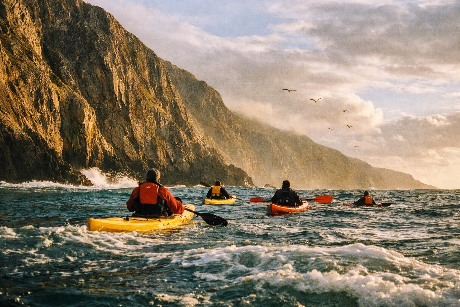
The headline draw is the coast. Slieve League rises 601 m (1,972 ft) straight from the Atlantic, making it among the highest accessible coastal cliffs in Europe - per the official Sliabh Liag visitor site - and nearly three times the 214 m height of the Cliffs of Moher, with a fraction of the crowds (6). String together the county’s beaches, headlands, and cliff roads and you have the reason most people come.
There’s also a cultural layer that sets Donegal apart from purely scenery-focused counties. Around a quarter of the county is Gaeltacht territory - the Donegal Gaeltacht covers approximately 1,502 km², or about 26% of the county’s area, according to Donegal County Council’s county profile - and villages like Glencolmcille function as living Irish-speaking communities rather than heritage displays. Donegal tweed is the other distinguishing thread - Ardara has a long reputation as a weaving hub, and the craft heritage is real, not a gift-shop invention.
Donegal sits on the Wild Atlantic Way, the 2,500 km (1,500-mile) signed coastal route running from Malin Head down to Kinsale. Within the county, that translates to roughly 500 km of driving route split into named sections - which is exactly why zone-based planning matters. The practical upshot of Donegal’s remoteness: fewer queues, more genuine interactions, and a slower pace than you’ll find in Kerry or Galway. You trade convenience for space.
The Five Things to Do in Donegal That Every Itinerary Builds Around
The five things to do in Donegal that itineraries consistently build around are the Slieve League sea cliffs (southwest), the Assaranca-Maghera-Ardara loop (southwest corridor), Glenveagh National Park (central), the Fanad Head Lighthouse (north peninsula), and Malin Head (Inishowen). In terms of detour-worthiness: Slieve League and Glenveagh are worth rerouting your entire day for; Fanad Lighthouse earns the peninsula drive on any clear day; the Ardara-Assaranca loop is a strong half-day add-on if you’re already in the southwest; Malin Head is worth the trip but only if you give Inishowen its own day rather than bolting it onto something else.
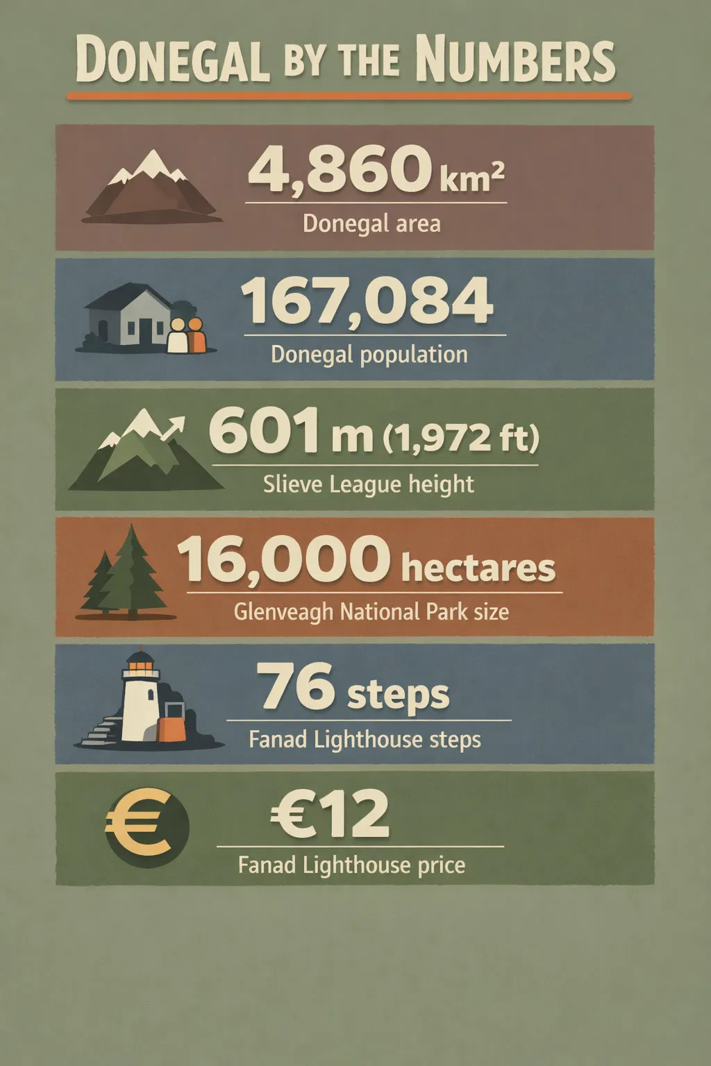 Key Donegal stats: area 4,860 km²; population 167,084; Slieve League height 601 m (1,972 ft); Glenveagh NP size 16,000 hectares; Fanad Lighthouse 76 steps; tours €12.
The reason to frame them by zone rather than by rank is entirely practical. The Wild Atlantic Way’s own breakdown of Donegal splits into a Slieve League Coast section, a Fanad Head section, and the Inishowen Peninsula - which maps almost exactly onto the south, central-north, and Inishowen zones. Grouping your days by zone saves hours on slow regional roads and stops you backtracking.
Here’s how that shapes a trip:
- A 2-day visit means choosing one or two zones. South Donegal (Slieve League plus the Ardara corridor) or central-north (Glenveagh plus Fanad) - not both.
- A 3-day trip can cover all three zones with one zone per day, moving your overnight base as you go.
Each of these five gets full logistics detail in its own section below - access, opening hours, drive times, and what to actually expect on arrival. The county has 20-plus additional worthwhile stops beyond these, from Mount Errigal to Tory Island, and those get a section too. But if you’re deciding where to point the car first, these five are where every serious itinerary starts.
Slieve League Sea Cliffs - Access, Shuttle, and What to Expect
The Slieve League sea cliffs reach 601 m (1,972 ft) at their highest point, making them among the highest accessible coastal cliffs in Europe - per the official Sliabh Liag visitor site - and nearly three times the 214 m height of the Cliffs of Moher (6). That comparison does its work quickly - taller scenery, far fewer people. From the viewpoint you look out across Donegal Bay all the way to Sligo.
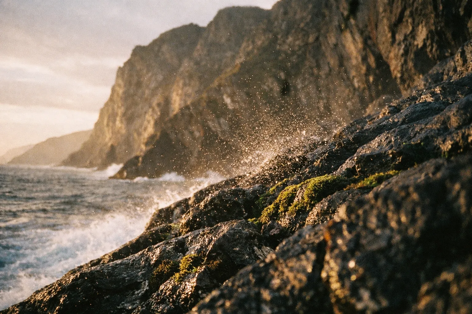
Access is the thing most guides get wrong. In shuttle season, private vehicles cannot drive to the upper viewpoint - you park at the Sliabh Liag visitor centre and either take the shuttle or walk (2). Parking at the visitor centre is free, with no time limit, and there’s a café, toilets, and an information display on-site, which makes it manageable with children.
The shuttle is the practical choice for most visitors. The Sliabh Liag shuttle bus runs in July, August and September and on most bank holiday weekends, leaving the visitor centre car park every 40 minutes from 10:10 to 16:50, with the last bus down from the viewing platform at 17:10 (2).
On price: the visitor centre’s booking page lists shuttle tickets at €9 per adult, €8 for students and seniors, €7 per child, and €28 for a family (15). The visitor centre advises pre-booking in peak season, online or by phone (2).
The alternative to the shuttle is walking from the lower car park, which takes around 50 minutes along the narrow, winding road the buses use. Not ideal, and genuinely not suitable for young kids (10).
Seasonal caveat: the shuttle does not run in winter. The cliffs themselves stay open year-round, and off-peak you can drive up to the viewing-area car park once you’ve bought a ticket at the Ranger Station - €10 for two hours or €15 for a full day, against free parking at the visitor centre 4 km below (2). Outside July to September, in other words, you’re paying to drive up or walking it, rather than hopping a shuttle. Plan off-season visits accordingly.
Hiking Beyond the Viewpoint
For those who want more than the platform, the One Man’s Pass ridge walk continues along the cliff top and delivers the wide, exposed ridge views the viewpoint only hints at. It’s genuinely exposed, requires proper footwear, and is not suitable for young children or anyone uncomfortable with heights. If the forecast is for rain or low cloud, skip it - the whole appeal is the drop and the distance, and you’ll see neither in the murk.
Assaranca Waterfall, Maghera, and the Ardara Loop
The southwest corridor around Ardara packs several short stops into one afternoon, and it’s the stretch that most guides mention but rarely explain. The Assaranca Waterfall sits about 8 km west of Ardara, directly beside the coast road toward Maghera Beach, with the falls visible from the road and a small pull-in for parking. Treat it as a 15-minute photo stop, not a destination in itself - it’s photogenic and easy to reach, and it pairs naturally with the drive over the Glengesh Pass.
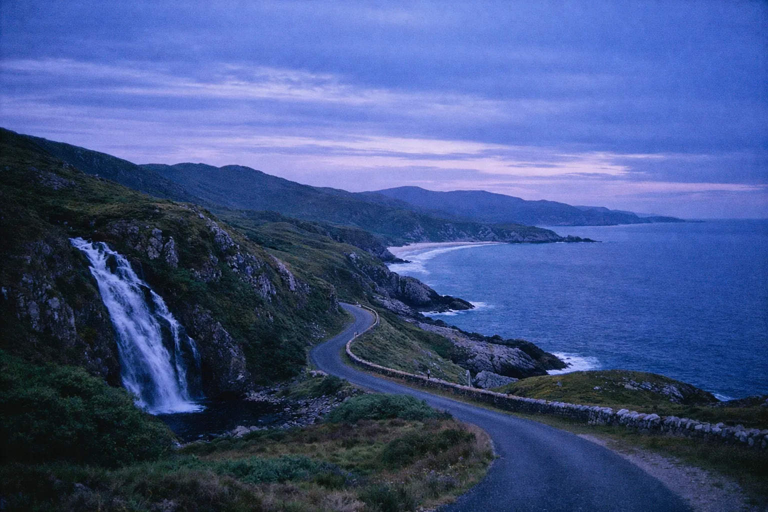
Maghera Beach and its caves are the bigger draw on this loop, roughly a 15-minute drive from Ardara. The beach is wild and largely undeveloped, and the cave system - a network of sea caves, arches, and tunnels - is only safely accessible at low tide. Check the tide tables before you go and do not enter the caves on a rising tide. This is a real safety point, not a formality.
The Glengesh Pass is the mountain road linking Ardara to Glencolmcille on the R230, about 8.5 km from Ardara. It’s genuinely dramatic driving - hairpin bends climbing through open moorland - and one of the best short scenic drives in the county.
Glencolmcille Folk Village is worth an hour if the cultural layer interests you. It’s a reconstructed village showing Irish rural life across different centuries, and it works fine in overcast weather, which makes it a useful rain-day option.
How the loop fits into a day: a full southwest Donegal day runs Donegal Town → Slieve League → Malin Beg → Glencolmcille → Glengesh Pass → Assaranca → Maghera → Ardara, with each hop between 20 and 40 minutes. A lot of short drives, but none of them are long.
Ardara as a Base for Southwest Donegal
Ardara works better as an overnight than a day-trip stop. It’s a small town - the 2022 census put its population at 785 - but it sits about 25 km northwest of Donegal Town and has the pubs, accommodation, and traditional-music scene to anchor a southwest Donegal day. Its reputation as a Donegal tweed weaving hub is well earned, and the heritage side of the town is a genuine draw rather than a footnote. Widely shared road-trip itineraries pick Ardara for the night after the Assaranca and Maghera stops precisely because it functions as a base, not just a pass-through.
Glenveagh National Park and Castle - What’s Inside and How to Visit
Glenveagh National Park covers around 16,000 hectares of mountains, lakes, and woodland in the heart of the Derryveagh Mountains, and admission to the park is free (13). It’s one of Ireland’s six national parks and home to the country’s largest red deer herd. Free entry alone makes it worth prioritising.
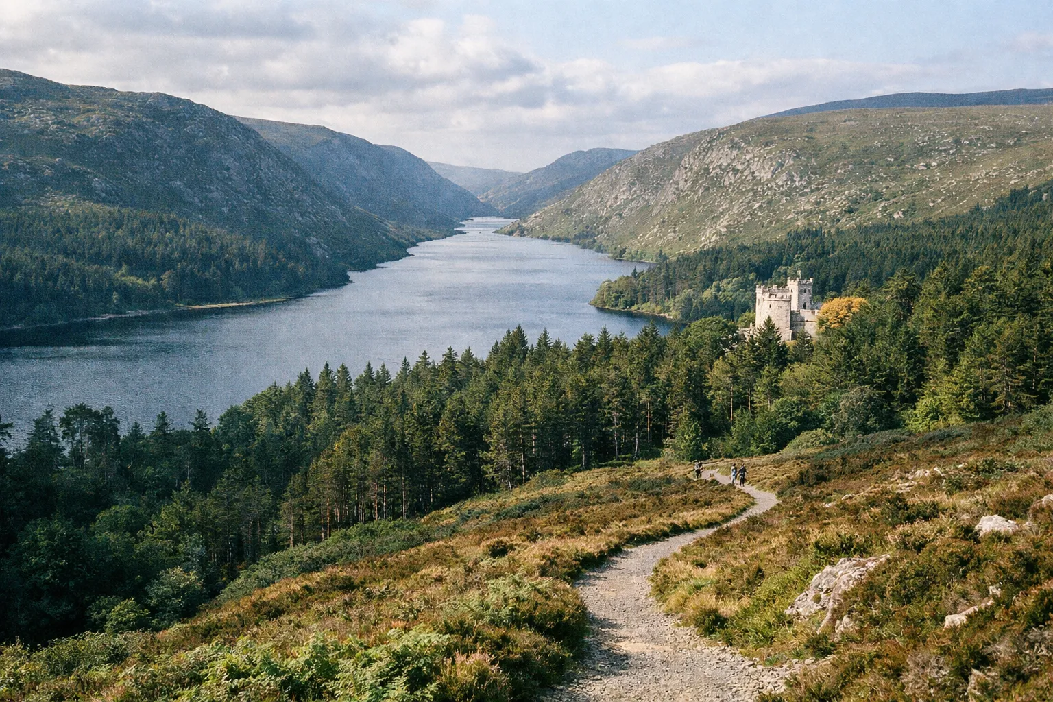
Inside, the centrepiece is Glenveagh Castle - a Victorian castle with formal gardens on the shore of Lough Veagh - plus a visitor centre, an extensive trail network, and a tearoom. The park is large, and the castle is not within walking distance of the visitor centre for most people: it’s a 4 km walk each way (7). A shuttle bus runs from the visitor centre to the castle, which is how most visitors make the trip.
Opening hours matter here. The castle reception is open March to October from 09:15 to 17:15, and November to February from 10:00 to 17:15, with the last tour at 16:45 (13). The shuttle typically runs daily, with the first bus around 09:30 and the last return from the castle around 17:15; in winter it generally operates weekends only. Note also that the castle is closed on Mondays and Fridays in the 2026 summer season, so check ahead (12).
The Christmas trap: the visitor centre, castle, and shuttle buses close for Christmas week, from 25 December to 1 January inclusive, reopening on 2 January (7). The park grounds, trails, and car park stay open throughout, but winter visitors who arrive expecting the castle tour over the holidays will be disappointed. Check the dates before you drive out.
Beyond the castle, the walking trails around Lough Veagh are the real reward, and the gardens are a highlight in their own right - formal, walled, and surprisingly lush given the moorland around them. Glenveagh in the morning paired with Fanad Lighthouse in the afternoon is the standard central-north Donegal day loop from a Letterkenny base.
The Castle Gardens and What Makes Them Worth the Visit
The gardens are what make the castle more interesting than it first looks. The estate’s last private owner, American Henry P. McIlhenny, purchased it in 1937 and shaped the pleasure grounds, walled garden, and Italian garden before donating the castle and gardens to the Irish nation in 1983. The parkland had already been sold to the state in 1975 to create the national park, which opened to the public in 1984, with the castle following in 1986. The rhododendrons and the contrast between the manicured planting and the wild mountains behind it are the reason the gardens hold up even on a grey day.
Fanad Head Lighthouse and the Fanad Peninsula
The Fanad Head Lighthouse has been operating since 1817, perched on a rocky outcrop at the mouth of Lough Swilly, and it’s consistently cited as one of the most photogenic lighthouses in Ireland. You can walk around the headland freely, and guided tower tours take you up the 76 granite steps to the top for 360-degree views over the lough and the Atlantic. Tower tours run €12 per adult, €6 per child, and €40 for a family ticket (2 adults plus up to 3 children), per the Fanad Lighthouse official site, with a minimum height of 1.2 m for children to climb the tower (14). Overnight stays in the keeper’s cottages can be booked through the lighthouse’s visitor operation - check directly for availability and rates.
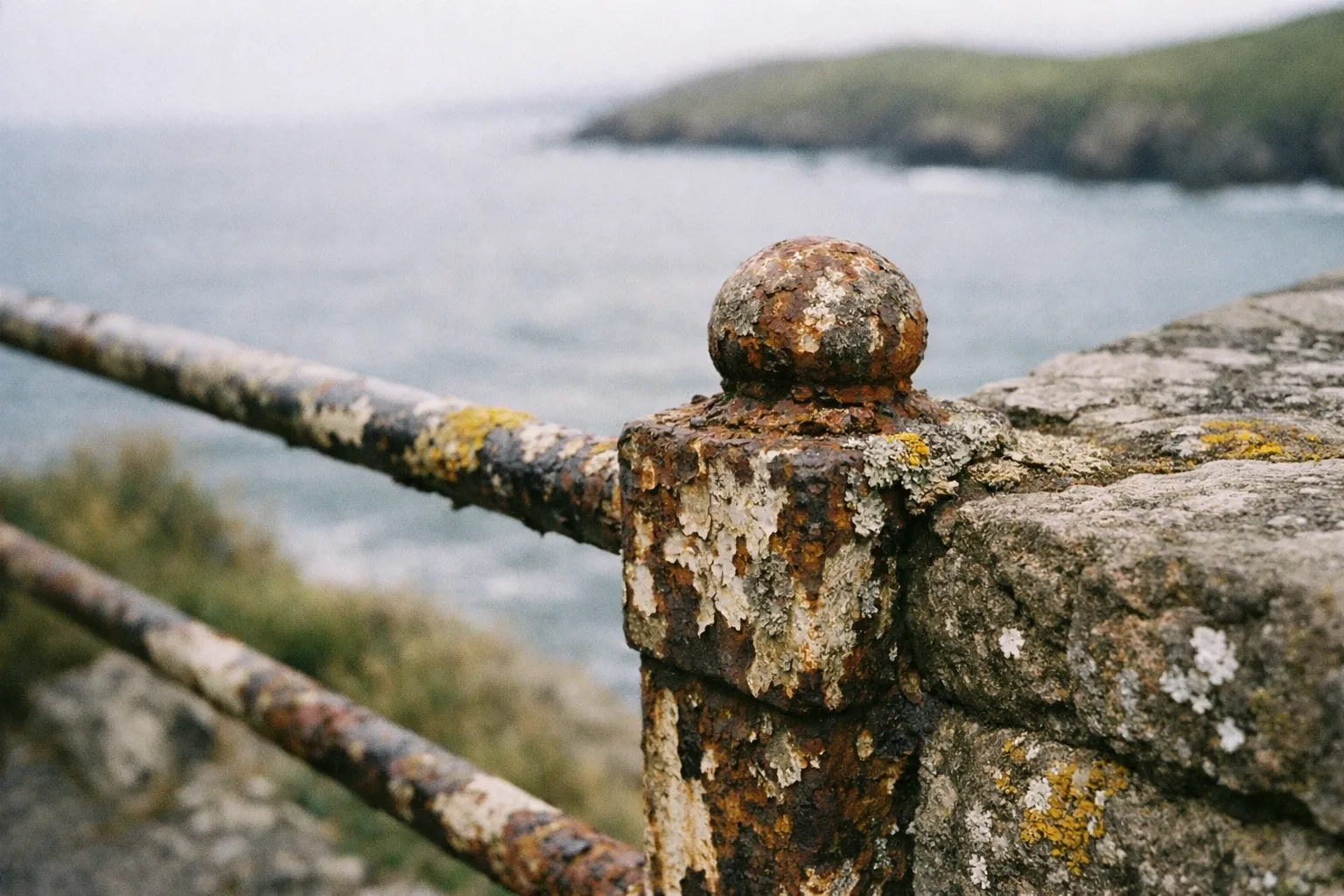
The lighthouse keeps seasonal hours: 10:00 to 18:00 daily in the June-to-August peak, 10:00 to 17:00 daily from September to December and in March-May, and shorter, weekday-dependent hours in January-February (14). If a tower tour is the plan, confirm the day’s timing before you drive out - it’s a long peninsula.
The Fanad Peninsula drive itself is worth the time. The Atlantic Drive along the western shore gives you sea views on a quieter road than the main routes, and pairs well with Downings and the Tra Na Rossan Loop if you have the hours.
One firm piece of advice: save Fanad for the clearest day of your trip. The lighthouse and the bays only deliver when you can actually see them. A grey, low-visibility day out here is a wasted drive. The standard central-north loop runs Glenveagh in the morning, then Downings, Fanad Lighthouse, and Ballymastocker Bay in the afternoon, with an overnight in Letterkenny.
Ballymastocker Bay - the Beach Most Visitors Miss
Ballymastocker Bay, at Portsalon on the eastern side of the Fanad Peninsula, is a long, sheltered Blue Flag beach that was once voted the “second most beautiful beach in the world” by the Observer Magazine. It’s an easy beach to build into a Fanad day and rarely feels crowded. The village of Portsalon nearby has the basics for a stop, and the sheltered eastern aspect makes it a better bet for a beach hour than the more exposed western shore of the peninsula.
Malin Head and the Inishowen Peninsula
Malin Head, at roughly 55.38°N, is the most northerly point of mainland Ireland, and the headland known as Banba’s Crown marks the extreme tip. The landmarks here are the WWII “EIRE 80” stone sign - a neutrality marker laid out to be visible from the air - a signal tower, and wide, open Atlantic views. It’s a free natural viewpoint with parking at the head, and the views are the entire point.
Malin Head is the headline stop on the Inishowen 100, a signed coastal driving loop of roughly 100 miles (about 160 km) around the Inishowen Peninsula. The loop takes in Fort Dunree (a coastal fort with a military museum), Mamore Gap (a dramatic mountain pass), Doagh Famine Village (an open-air heritage site), and Five Finger Strand, among others. It’s a full day in itself.
The critical planning mistake is trying to bolt Malin Head onto a south Donegal day. Route planners put the drive from Slieve League to Malin Head at around 160-174 km - roughly 2.5 hours of pure driving before a single stop. Inishowen is a full-day loop from a Letterkenny or Buncrana base, not an add-on to a Slieve League morning. Treat it as its own day and you’ll enjoy it; try to squeeze it and you’ll spend the day in the car.
Aurora bonus: Malin Head is described by local tourism bodies as arguably the best location in Ireland to see the northern lights, thanks to its northerly position and very low light pollution, with parking at Banba’s Crown for observers. The best months run roughly September to March, especially November to February, with viewing times typically between 21:00 and 01:00. It’s never guaranteed, but on a clear winter night the odds here are as good as anywhere in the country.
The Inishowen 100 - What Else to Stop For
Three stops on the loop earn their place. Fort Dunree is a genuinely interesting coastal fort with a military museum and cliff walks above Lough Swilly - worth the detour if you have any interest in the history. Mamore Gap is a steep, dramatic mountain pass with a holy well and switchback road; if you’re short on time, it’s a quick photogenic stop rather than a long one. Doagh Famine Village is an open-air heritage site covering Irish rural hardship from the Famine onward - worth an hour if the cultural side draws you, easy to skip if it doesn’t.
Beyond the Big Five - More Worth Doing in Donegal
If you have extra days, several stops outside the core five are worth building in.
Mount Errigal is Donegal’s highest peak at 751 m (2,464 ft), a distinctive quartzite cone that dominates the northwest skyline. The main route is around 5.2 km and takes most walkers 2 to 3 hours; it’s consistently recommended by locals and forum regulars. Allow half a day and check the weather - the summit is exposed.
Horn Head, about 4 km north of Dunfanaghy, has quartzite sea cliffs rising to around 180 m (600 ft) with short cliff-top walks (about an hour) from the lookout car park and seabird colonies below. It’s a strong addition to a Fanad day for anyone with a spare half-day.
Tory Island, off the north coast, is a full-day commitment - the ferry from Magheroarty takes about 45 minutes each way, with morning and afternoon sailings. It’s known for its isolation, its own “king,” and a distinctive folk-art tradition. Worth it if you want somewhere genuinely remote and have the day to give it.
Grianan of Aileach is a well-preserved Iron Age stone ringfort crowning a hill near Burt, with panoramic views over Lough Swilly and Lough Foyle. The circular interior runs about 23-24 m across inside walls roughly 4.5 m thick. It’s a worthwhile 30-minute stop when you’re driving toward Inishowen.
Doe Castle is a 15th-century tower house on a tidal spit in Sheephaven Bay - atmospheric, rarely crowded, and a natural pairing with a Horn Head day.
And don’t write off Donegal Town itself. The restored O’Donnell keep of Donegal Castle, the Diamond (the town square), and the railway museum are worth a few hours if you’re using the town as your southern base.
How to Structure Your Donegal Trip by Day
The single most useful planning decision is to think in three zones - south (Slieve League plus the Ardara corridor), central-north (Glenveagh plus Fanad), and Inishowen (the Malin Head loop) - and give each roughly a day.
With 1-2 days, pick one zone. South Donegal (Slieve League, Ardara, Maghera, Assaranca) or central-north (Glenveagh and Fanad) - not both. Trying to do more means driving instead of seeing.
The 3-day loop is the standard recommendation, built around moving your base once:
- Day 1 (south): Donegal Town → Slieve League → Malin Beg → Glencolmcille → Glengesh Pass → Assaranca → Maghera → overnight in Ardara.
- Day 2 (central-north): Glenveagh National Park → Downings → Tra Na Rossan Loop → Fanad Lighthouse → Ballymastocker Bay → overnight in Letterkenny.
- Day 3 (Inishowen): Grianan of Aileach → the Inishowen 100 → Fort Dunree → Mamore Gap → Doagh Famine Village → Malin Head.
The mistake to avoid, stated plainly: Donegal Town → Slieve League → Ardara → Glenveagh → Fanad in one day is too much. The roads are slow, the distances deceive, and the Slieve League-to-Malin Head leg alone is 2.5 hours of driving. Serious guides split the county across at least two days for good reason. For bases: Ardara for the southwest, Letterkenny (the county’s largest town, population 22,549) for the central-north and Inishowen.
Donegal Zones at a Glance
| Popular South Donegal | Central-North Donegal | Inishowen Peninsula | |
|---|---|---|---|
| Key Attractions | Slieve League, Assaranca Waterfall, Ardara Loop | Glenveagh National Park, Fanad Lighthouse, Ballymastocker Bay | Malin Head, Inishowen 100 Loop, Fort Dunree |
| Suggested Overnight Base | Ardara | Letterkenny | Letterkenny or Buncrana |
| Best Season to Visit | April-October | June-September | Clear days year-round |
| Drive Time from Donegal Town | 20-40 min between stops | 30-60 min between stops | 2.5 hours from Slieve League |
| Works for Short (1-day) Visit? | ✓ | ✓ | ✗ |
Donegal in the Rain - Indoor and Sheltered Options
Donegal is wet, so have a wet-weather plan. The Glenveagh visitor centre and castle tour work fine in rain, as does Glencolmcille Folk Village and Doagh Famine Village - all sheltered or largely indoors. Ardara’s weaving and heritage side gives you somewhere dry to spend an hour, and a pub with a traditional-music session is a perfectly good way to write off an afternoon of driving rain. Save the cliff walks and headlands for the clear days.
Donegal with Kids - What Works and What Doesn’t
The Slieve League shuttle is the family-friendly way to see the cliffs - no hiking required, and a café, toilets, and information display at the visitor centre (10). Glenveagh’s castle, gardens, and shuttle work well with children, and Ballymastocker Bay is a proper beach for a break from the driving. What doesn’t work: One Man’s Pass and the exposed headlands. Keep young children well back from cliff edges, and don’t attempt the ridge walks with them.
Seasonal Considerations - When to Go and What Changes
Summer (June-August) gives you the longest daylight, the Slieve League shuttle running from July (2), and the Glenveagh gardens at their best. It’s the busiest period, but Donegal in summer is still quieter than Kerry or Galway.
Spring and autumn (April-May, September-October) are the sweet spot. Visitor numbers drop, the light is often better for photography, and accommodation is easier to book. The Slieve League shuttle still runs in September; in the other months you can drive up to the viewing area with a Ranger Station parking ticket (2).
Winter (November-March) changes the calculus. The Slieve League shuttle doesn’t run outside July to September, bar most bank holiday weekends, Glenveagh’s visitor services close Christmas week and run reduced shuttles otherwise, but Malin Head’s aurora potential is at its best on clear nights, and the coastal light can be dramatic if you’re willing to deal with the weather.
That weather is the constant. Donegal is Atlantic-facing and genuinely wet - climate summaries put it at more than 240 rainy days a year, with December seeing around 173 mm of rain over roughly 24 wet days. Pack a waterproof shell regardless of season, don’t plan cliff walks on forecast rain days, and save Malin Head and Fanad for the clearest day you get. Glenveagh and the folk villages, by contrast, hold up fine under cloud.
Getting Around Donegal - Practical Transport Notes
A car is effectively mandatory. Slieve League, Glenveagh, Fanad, and Malin Head are not reachable by public transport in any practical sense, and every serious itinerary assumes you’re driving. Donegal Town is the most practical entry point by road, and Letterkenny - the largest town and the region’s main service hub - makes the natural central base for onward driving, car rental, and organised tours.
Driving is on the left, and Donegal’s roads are frequently narrow, single-track in places, and slower than any map suggests. Add 20 to 30% to estimated driving times, use the passing places, and don’t rush the single-track cliff roads. The route planners bear this out: Slieve League to Malin Head is 160-174 km but 2.5 hours of driving, and that’s before scenic stops.
The one exception to the drive-everywhere rule is Slieve League - once you’re at the visitor centre car park in July, August or September, the shuttle handles the final restricted leg (2). For non-drivers, organised day tours from Donegal Town or Letterkenny cover Slieve League and Glenveagh, and those are the realistic options without a car.
One last practical note: carry cash. Rural cafés and small car parks often have unreliable card readers, and you’ll want euros on hand for parking machines and small purchases. Ireland is broadly card-friendly, but Donegal’s remoter corners are exactly where tap-to-pay lets you down.
Frequently Asked Questions
- Do you need a car to visit Donegal?
- Yes, a rental car is essential for most main sights; organised day tours cover only a fraction of the county's attractions.
- What is the prettiest town in Donegal?
- Ardara is widely recommended for its setting, pub culture, and weaving heritage; Donegal Town and Dunfanaghy are alternatives.
- Is Donegal worth visiting?
- Yes, especially for Atlantic coastal scenery without crowds; it requires planning and a car but rewards with space and culture.
- Does the Slieve League shuttle run year-round?
- No, it runs in July, August and September and on most bank holiday weekends; the rest of the year you walk up or buy a Ranger Station parking ticket and drive to the viewing area.
- Is Glenveagh National Park free?
- Park admission is free; visitor centre, castle tours, and shuttle may charge; closed Christmas week for visitor services.
- Can you see the northern lights from Donegal?
- Malin Head offers some of Ireland's best aurora views on clear winter nights, especially November to February.
- How many days do you need in Donegal?
- Three days cover the main zones; two days means choosing south or central-north; one day suits only Slieve League and Ardara loop.
What Actually Makes a Good Trip to Donegal
The whole county comes down to one planning decision: resist the urge to see everything, and commit to a zone or two properly. South Donegal, central-north, and Inishowen each deserve a day, and the moment you try to combine the far southwest with Malin Head in the same 24 hours, you’ve turned a holiday into a driving marathon.
The two mistakes to avoid are underestimating the distances - add a third to every drive-time estimate - and skipping the Slieve League shuttle when it’s the sensible way up.
Get that right and Donegal delivers: a clear day on the Fanad headland or at Malin Head, an evening of music in Ardara, and the kind of space that the busier counties lost years ago. Pack a waterproof, carry some cash, and let the county’s scale work for you rather than against you.