Kīlauea has erupted more than 50 times since late December 2024, making Hawaii Volcanoes National Park one of the few places on Earth where you can watch an active summit eruption from a paved overlook. But the eruption is episodic, the summit visitor center is closed for renovation, and a 2.5-hour drive from Kona can end at a quiet caldera if you skip the pre-trip check. This guide is the operational briefing: what’s open in 2026, what it costs, and how to make smart calls on the day.
The park is open and worth the drive. Showing up uninformed is how you waste it.
✓ Pros
- One of the only places on Earth to observe an active, episodic summit eruption from safe, designated overlooks
- Open 24 hours - night viewing is possible during active lava fountaining episodes
- Free ranger programs nearly every day; no reservation required for general park entry
- A single entrance fee covers 7 days and multiple road corridors
- Accessible for a range of fitness levels - short paved loops to full backcountry
✗ Cons
- Active eruption is confined to a closed zone - you view from the rim, not the crater floor
- Conditions (closures, gas levels, road access) can change with little notice
- Drive times from Kona/Waikoloa are 2-2.5 hours each way - a full-day commitment
- Kīlauea Visitor Center is closed for renovation; services relocated to Welcome Center at KMC
- Vog and tephra are real hazards; a standard dust mask does not protect against volcanic gas
What Hawaii Volcanoes National Park Actually Is
Hawaii Volcanoes National Park covers 354,461 acres on the Big Island and protects both Kīlauea and Mauna Loa, two of the world’s most active volcanoes (1). This is not a single viewpoint or a theme park. It is a network of road corridors, trails, and overlooks spread across a landscape that is actively rebuilding itself.
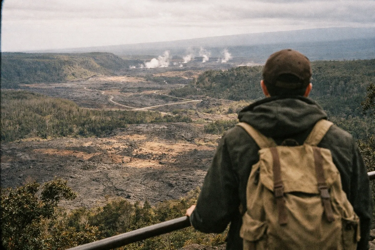
The park was established in 1916 and later inscribed as a UNESCO World Heritage Site and International Biosphere Reserve. It draws roughly 1.2 to 1.4 million visitors per year - notable for a park that requires a flight to reach. Open 24 hours a day, year-round, with no reservation required for general entry.
What makes it worth planning a trip around right now is the eruption. The U.S. Geological Survey’s Hawaiian Volcano Observatory reports that Kīlauea’s current episodic summit eruption began in late December 2024, with dozens of discrete lava-fountaining episodes confined to Halema’uma’u crater inside a closed area of the summit caldera. Individual episodes have run anywhere from 13 hours to 8 days, separated by pauses lasting under 24 hours to about 12 days. That episodic pattern is the single most important thing to understand before you drive: some visitors see active lava, others arrive to a quiet caldera.
Kīlauea’s 2026 eruption cycle: what’s happening right now
Kīlauea’s eruption is a stop-start cycle, not a continuous river of lava. USGS reported that Episode 51 ended on July 15, 2026 after 8.3 hours of lava fountaining, with summit re-inflation suggesting further episodes were likely. By summer 2026, park reports noted nearly 50 separate fountaining episodes since the eruption began.
The practical takeaway: this is a dynamic monitoring situation, and the only reliable status is a live one. Check the USGS Hawaiian Volcano Observatory update and the NPS current conditions page within 24 hours of your visit. A “the volcano is erupting” headline can be technically true during a multi-day pause when there is nothing to see at the rim.
Entrance Fee and Pass Options for Hawaii Volcanoes National Park
It costs $30 per private vehicle to enter Hawaii Volcanoes National Park, with each pass valid for seven consecutive days (4). The National Park Service also charges $25 per motorcycle and $15 per pedestrian or cyclist age 16 and up; visitors 15 and under enter free.
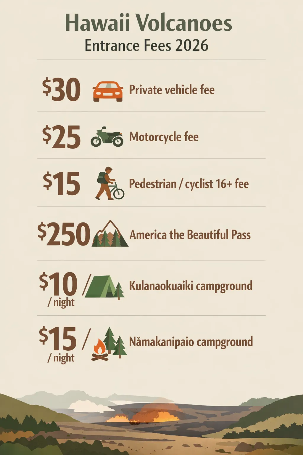 Entrance fees and camping rates at Hawaii Volcanoes National Park (2026): $30 private vehicle, $25 motorcycle, $15 per pedestrian, $250 annual pass, $10/night Kulanaokuaiki, $15/night Nāmakanipaio.
Hawaii Volcanoes National Park Entrance Fees and Passes (2026)
| Private vehicle | Motorcycle | Pedestrian / cyclist (16+) | Under 16 | America the Beautiful Non-Resident Annual Pass | Kulanaokuaiki campground | Nāmakanipaio campground | |
|---|---|---|---|---|---|---|---|
| Fee | $30 | $25 | $15 | Free | $250 | $10 / night | $15 / night |
| Valid For | 7 days | 7 days | 7 days | - | 1 year | Per night | Per night |
| Notes | Up to 15 passengers | Per motorcycle | Per person | No entry fee | Covers pass holder + passengers in private vehicle | $5 with Golden Age/Access pass - per the National Park Service | Standard rate |
As of January 1, 2026, the America the Beautiful Non-Resident Annual Pass runs $250 and covers entry for the pass holder plus passengers in a private vehicle. That math works if you’re hitting three or more federal fee sites in a year. If your trip is Big Island-focused, the National Park Service also offers a Hawaiʻi Tri-Park Annual Pass at $55, covering this park plus Haleakalā and Pu’uhonua o Hōnaunau.
One thing most guides get wrong: fee-free days do apply here. The National Park Service designates several fee-free days annually, and Hawaii Volcanoes National Park participates - including National Public Lands Day. Check the NPS fee-free days page before your visit to see if your dates qualify.
Getting to the Park - Drive Times, Routes, and What to Expect
Where you base yourself on the Big Island determines how much of your day disappears into the car. The park entrance sits on Highway 11 (Hawaiʻi Belt Road), and drive times vary dramatically by starting point.
- From Hilo: about 45 minutes / 30 miles (48 km). The closest major town and the most practical base for multi-day visits (7).
- From Waikoloa: about 2 hours / 90 miles (145 km). A long day trip, but doable.
- From Kailua-Kona: 2 to 2.5 hours / 95 miles (153 km) each way. A round trip from Kona is 4 to 5 hours of driving before you’ve seen anything (7).
If you’re staying on the Kona side, be honest with yourself about that math. Leaving at 7 a.m. gets you to the summit by mid-morning - already past the point when viewpoint parking fills during active eruption periods. Arriving before 9 a.m. is the practical workaround for congestion.
Road access is not only about volcanic hazards. In March 2026, severe weather brought flooding, downed power lines, and fallen trees, and the National Park Service enacted temporary closures including sections of Chain of Craters Road and restricted access west of KMC (10). Check the NPS road status page the morning you leave, not the week before.
Coming from Honolulu or Maui
There is no ferry to the Big Island. If you’re on Oʻahu, Maui, or another island, an inter-island flight to Hilo (closest) or Kona is the only way in. Treat the flight and the rental car as one logistics problem, then apply the drive times above as the second half of that equation.
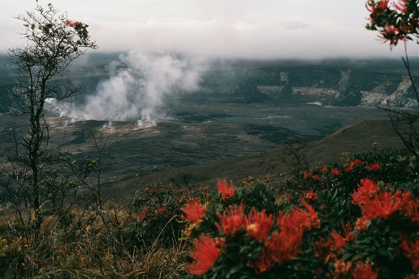
Big Island: Volcanoes, Waterfalls & Coffee Farm Day-Trip
If that math does not work for you, let someone else drive it. This full-day trip picks up on the Kona side and covers the park along with Akaka Falls, Rainbow Falls and Punalu'u, so the 4 to 5 hours behind the wheel become someone else's job, and park admission and lunch are already in the price.
Check availabilityCrater Rim Drive - The Summit Loop Most Visitors Start With
Crater Rim Drive is the primary summit road at Kīlauea, and it’s where most first-time visitors begin. The National Park Service describes it as the loop connecting the historic visitor center area with key stops including the steam vents, Sulphur Banks, the Kīlauea Iki overlook, and Uēkahuna on the western rim of the summit caldera.
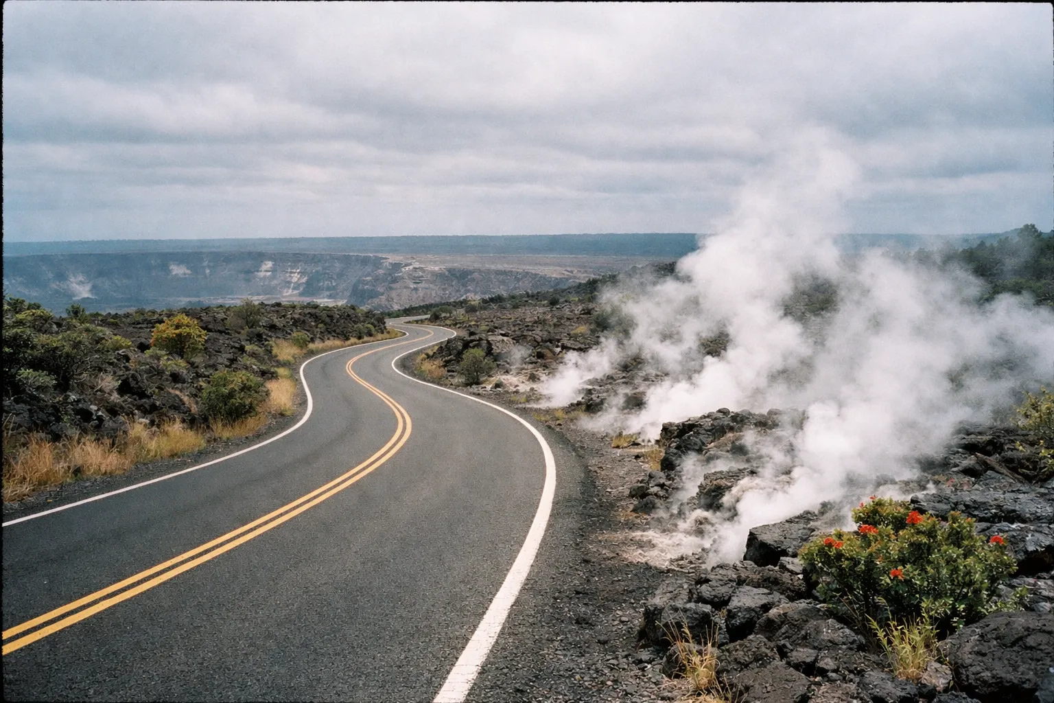
The stops, ranked by whether they earn your limited time:
- Uēkahuna overlook (worth prioritizing): The primary lava-viewing point on Crater Rim Drive West when the eruption is active. This is the corridor that has done the heavy lifting for eruption viewing through 2026.
- Steam vents and Sulphur Banks (worth the stop): Easy roadside access, quick payoff, good for a first sense of the caldera’s geothermal activity.
- Kīlauea Iki overlook (worth the stop): Looks down on the 1959 eruption crater floor and the trailhead for one of the park’s best hikes.
- Devastation Trail trailhead (skip if short on time): Worth it if you’re hiking, but not a drive-by stop.
Portions of the drive close during elevated volcanic gas, tephra fall, or seismic activity, and reopen when monitoring data indicate conditions are safe. Crater Rim Drive West toward Uēkahuna is the section most affected, precisely because it sits closest to the action.
Start your visit at the Welcome Center at Kīlauea Military Camp (KMC), about a mile from the entrance via Crater Rim Drive West. The Kīlauea Visitor Center building is under renovation and services have moved to the Welcome Center, typically open daily 9:00 a.m. to 4:45 p.m. for maps, orientation, ranger help, passport stamps, and Junior Ranger books. Before you leave your accommodation, pull up the NPS webcam feeds for Halema’uma’u - the agency explicitly encourages using them to gauge visibility, gas plume direction, and current activity from rim viewpoints.
What you can and cannot see from the rim
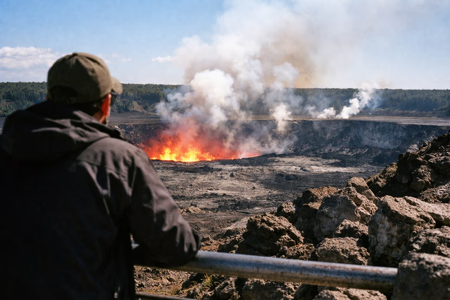
You can see the glow, the gas plume, and during active episodes the lava fountains themselves - all from designated overlooks on the caldera rim. You cannot walk to the crater floor. The active eruption inside Halema’uma’u is in a closed zone, off-limits due to high gas levels, unstable ground, and ongoing hazards. USGS is unambiguous on this: viewing is from the rim, and attempting to approach the vent is both illegal and genuinely dangerous.
Even a spectacular episode is a distance-viewing experience. That’s exactly why it’s safe.
Chain of Craters Road - The Long Descent Worth the Extra Hours
Chain of Craters Road descends roughly 18 to 20 miles (about 30+ km) from the Kīlauea summit area to the coast, dropping approximately 3,700 feet (1,128 m) in elevation. I drove the full length on a clear morning in late 2024, and the shift in landscape is more dramatic than any single overlook on the summit loop - you leave the cool, forested rim and arrive at black coastal lava benches where historic flows buried the original highway under dozens of feet of rock.

The National Park Service advises allowing at least 1.5 to 2 hours for the round-trip drive without long stops, and realistically 3 to 4 hours if you explore viewpoints and short hikes. Plan it as a half-day addition to a summit-focused visit, not a rushed hour tacked onto the end.
The stops that justify the drive:
- Pu’u Loa Petroglyphs (worth prioritizing): A 1.4-mile (2.3 km) round-trip boardwalk leads to one of Hawaiʻi’s largest petroglyph fields, where the National Park Service has documented more than 23,000 petroglyphs carved into the lava.
- Mauna Ulu (worth the detour): The fissure eruption area active from 1969 to 1974, with short trails across the flows.
- Coastal lava-bench viewpoints (worth the drive to the end): Where the road stops because lava took it. The scale of the flow fields reads better here than anywhere else in the park.
Like Crater Rim Drive, this road closes for both volcanic hazards and storm damage - the March 2026 closures near the Crater Rim Drive intersection are the recent example. Check conditions the morning of your visit, and note there are no gas stations or food services along the road. Fuel up and pack snacks in Hilo or Volcano Village first.
Nāhuku (Thurston Lava Tube) - the detour between the two drives
Nāhuku, also called Thurston Lava Tube, sits near the junction where Crater Rim Drive meets the top of Chain of Craters Road, which makes it the logical stop as you transition between the two. It’s a short, well-lit, walk-through section of a genuine lava tube - a tunnel left behind when the outer crust of a lava flow cooled while molten rock kept draining through the center. The accessible portion is paved and takes only a few minutes, but it gives you a concrete, tactile sense of how the landscape was built. Go early; the small parking area fills fast.
What to Do at the Park Beyond the Drives
The two scenic drives are the spine of a visit, but the trails, ranger programs, and wildlife are what turn a drive-through into a full day. Here are the things to do at Hawaii Volcanoes once you’re off the road.
Hiking by effort level:
- Kīlauea Iki Trail (moderate, about 4 miles / 6.4 km round trip): The signature hike. It descends about 400 feet (122 m) from the forested rim across the solidified lava lake of the 1959 eruption, then climbs back out. You’re walking on 1959, not the active crater - that distinction matters for both safety and expectations.
- Devastation Trail (easy, about 0.8 miles / 1.3 km round trip): A paved path along the edge of the 1959 cinder cone through a ghost forest of standing dead ‘ōhi’a trees. Flat, accessible, and quick.
- Pu’u Loa Petroglyphs Trail (easy, about 1.4 miles / 2.3 km round trip): The coastal petroglyph field on Chain of Craters Road, covered above.
Free ranger programs: The National Park Service runs ranger-led programs on most days, free with admission, ranging from short geology talks to guided walks and cultural interpretation. Schedules are posted at the Welcome Center and on the park’s online calendar rather than fixed season-long, so check the day before rather than assuming a program will run.
Wildlife and native plants: The park supports nēnē (the Hawaiian goose and state bird), ‘ōhi’a lehua trees, and hāpu’u tree ferns. Rapid ‘Ōhi’a Death is an active threat to native forest, which is why boot-cleaning stations sit at trailheads. Use them - it takes 30 seconds and it matters.
Night visits: The park is open 24 hours, and during active lava fountaining the summit overlooks after dark deliver the most dramatic viewing of the whole trip: glowing lava against a black sky. Entirely conditions-dependent, so it only pays off when an episode is running.
Helicopter tours: Not operated by the National Park Service, but commercial helicopter overflights of Kīlauea and Mauna Loa depart from Hilo and Kona. Pricing varies by operator and tour length - check current rates directly with operators before booking. Worth considering mainly when ground access to active areas is restricted, or if you want an aerial read on the flow fields.
How much time you actually need
A half-day of 4 to 6 hours covers the summit highlights only: the Welcome Center, Crater Rim Drive, the overlooks, and one short hike. A full day of 8 to 10 hours adds Chain of Craters Road down to the coast and back. If your specific goal is to catch an active eruption episode, plan two or more days on the island. Episodes are unpredictable, and overnight visitors to the Big Island average 6.4 nights - building in multiple park days is the single biggest lever on your odds of seeing active lava.
Watching the Kīlauea Eruption - Timing, Viewpoints, and Realistic Expectations
Whether you see active lava at Kīlauea depends entirely on timing. Individual fountaining episodes last from hours to several days, followed by pauses of up to about 12 days, all confined to a closed area within Halema’uma’u crater. Arriving during a pause is not a failed trip - the caldera, steam vents, and trails are still worth the drive. But you should know which scenario you’re walking into before you commit 2.5 hours each way from Kona.
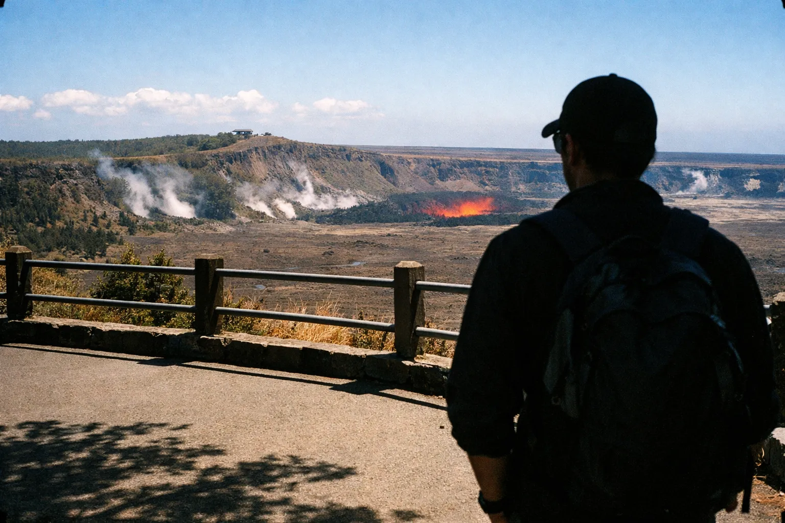
The primary viewing point is the Uēkahuna overlook on Crater Rim Drive West, open when gas levels and safety conditions allow. USGS is explicit that lava viewing is limited to designated rim overlooks and that the active vent area inside Halema’uma’u remains closed to the public.
Timing strategy once an episode is active: aim for early morning, when winds are typically lower and gas disperses better, or after dark for the most dramatic visuals. If a pause is underway, watch the USGS re-inflation data - rapid summit inflation often precedes the next episode, which is as close to a forecast as this eruption offers.
Air quality is the health variable that matters here. USGS daily updates note that sulfur dioxide (SO₂) emissions during active episodes can reach around 10,000 tonnes per day, dropping to roughly 1,000 tonnes per day or less during pauses. If you have respiratory or cardiac conditions, check Hawaiʻi Department of Health vog advisories before you go, and plan to be upwind of the vents. For a deeper look at how to prepare for vog and lava flows, the gear and safety considerations extend well beyond a single visit day.
How to Check Current Eruption Status Before You Go
15 minutesA step-by-step checklist to verify eruption activity and park conditions within 24 hours of your visit.
- 1
Check USGS Kīlauea Activity Notice
Visit the USGS Hawaiian Volcano Observatory website to see if an eruption episode is active or paused.
- 2
Review NPS Current Conditions
Check the National Park Service page for road closures and open viewing areas.
- 3
View Live Webcam Feeds
Use the park's webcams to assess real-time caldera visibility and gas plume conditions.
- 4
Check Hawaiʻi DOH Vog Advisories
Look up air quality advisories if anyone in your group has respiratory sensitivities.
- 5
Plan Approach Based on Wind Direction
If an episode is active, approach viewpoints from upwind to minimize vog exposure.
Tephra and vog: two different hazards, two different responses
Tephra and vog are not the same thing, and the same mask does not handle both. Tephra is airborne rock particles - fine ash to small fragments - and the National Park Service recommends eye protection, a hat, long sleeves, long pants, gloves, and a dust mask when it is falling. Vog is volcanic gas, primarily SO₂, and the Hawaiʻi Department of Health is clear that dust masks and cloth masks do not protect against it. They filter larger particles, not gas.
For vog, the defense is not gear. It’s route planning, monitoring the forecast, and staying upwind of the vents. Sensitive individuals should treat vog as the reason to check air quality before deciding whether to visit at all.
Practical Planning - What to Bring, Where to Stay, and How to Avoid Common Mistakes
What to pack:
- Water: The National Park Service recommends at least 2 liters per person for short hikes and more for crater-area hikes, citing sun, heat, and elevation as dehydration risks. Carry 2 to 3 liters for the Kīlauea Iki loop.
- Snacks: No food services on Chain of Craters Road. Bring your own.
- Footwear: Sturdy closed-toe shoes. Lava rock is sharp and uneven.
- Sun protection: Exposed lava terrain amplifies heat and reflects sun.
- N95 mask and safety goggles: Only relevant if tephra is falling, but cheap insurance if an episode is active.
- Charged phone plus a backup charger: Signal is spotty in parts of the park, especially along Chain of Craters Road, so download offline maps before you arrive.
Where to stay: Volcano Village, the closest community at about a mile from the entrance, has small inns and vacation rentals. Hilo, about 45 minutes out, offers more options at lower prices. Staying nearby is genuinely worth it if you’re trying to catch an active eruption episode - multiple park days significantly raise the odds, and overnight Big Island visitors average 6.4 nights, so the room to build in two park days usually exists.
Common mistakes to avoid:
- Following old maps to the Kīlauea Visitor Center. It is closed for renovation. Go to the Welcome Center at KMC.
- Assuming the park is always fully accessible. Storm damage closed roads in March 2026. Volcanic activity closes sections regularly. Check conditions the morning of.
- Underestimating the drive from Kona. Four to five hours round trip is real. Budget for it.
- Treating the park as a two-hour stop. It needs 6 to 10 hours to do properly.
Crowds: Parking at summit viewpoints fills by mid-morning during active eruption periods. Arrive before 9 a.m. or plan a late-afternoon visit when some crowds thin. A late-afternoon arrival during an active episode also positions you for after-dark viewing - which is, frankly, the best version of this experience.
If the Big Island is one stop on a longer Hawaii trip, it’s worth knowing how the best places to visit in Hawaii stack up by island and trip type before you commit to an itinerary. Visitors planning a solo travel to Hawaii itinerary will find the park especially manageable as a self-guided day or overnight from Hilo. And if you’re combining this with coastal stops, Punaluu Black Sand Beach sits on the same Highway 11 corridor between Hilo and the park entrance - a natural add-on that costs nothing extra in drive time.
For hikers who want to extend beyond the park’s paved loops, Hawaii hiking safety tips cover flash flood risk, footwear, and the specific hazards that catch visitors off guard on backcountry trails across the islands. Those planning to explore beyond the volcano should also review the hidden gems in Hawaii guide, which covers towns, trails, and petroglyph sites that rarely appear on standard itineraries - including several on the Big Island itself.
Frequently Asked Questions
Frequently Asked Questions
- How much does it cost to visit Hawaii Volcanoes National Park?
- Entry costs $30 per private vehicle, $25 per motorcycle, and $15 per pedestrian or cyclist age 16+, valid for 7 days. Children under 16 enter free.
- Do I need a reservation to visit Hawaii Volcanoes National Park?
- No reservation is required for general park entry as of 2026. The park is open 24 hours daily, year-round.
- How much time do you need at Hawaii Volcanoes National Park?
- 4-6 hours covers summit highlights; adding Chain of Craters Road makes it an 8-10 hour day. Multiple days are best to catch active lava.
- Can I see active lava at the park right now?
- Possibly, depending on timing. Eruption episodes are episodic and viewing is from rim overlooks only. Check USGS and NPS updates within 24 hours.
- What is the best volcano tour in Hawaii?
- Self-driving Crater Rim Drive and Chain of Craters Road covers the park core. Small-group van tours and helicopter flights are options if you prefer not to drive.
- Is it safe to visit during an active eruption?
- Yes, if you stay in designated open areas and follow NPS guidance. Vog and tephra hazards require precautions; check air quality advisories if sensitive.
- Where do I start now that the visitor center is closed?
- Start at the Welcome Center at Kīlauea Military Camp (KMC), about a mile from the entrance, open daily 9 a.m. to 4:45 p.m.
Before You Drive: Three Decisions That Make or Break the Trip
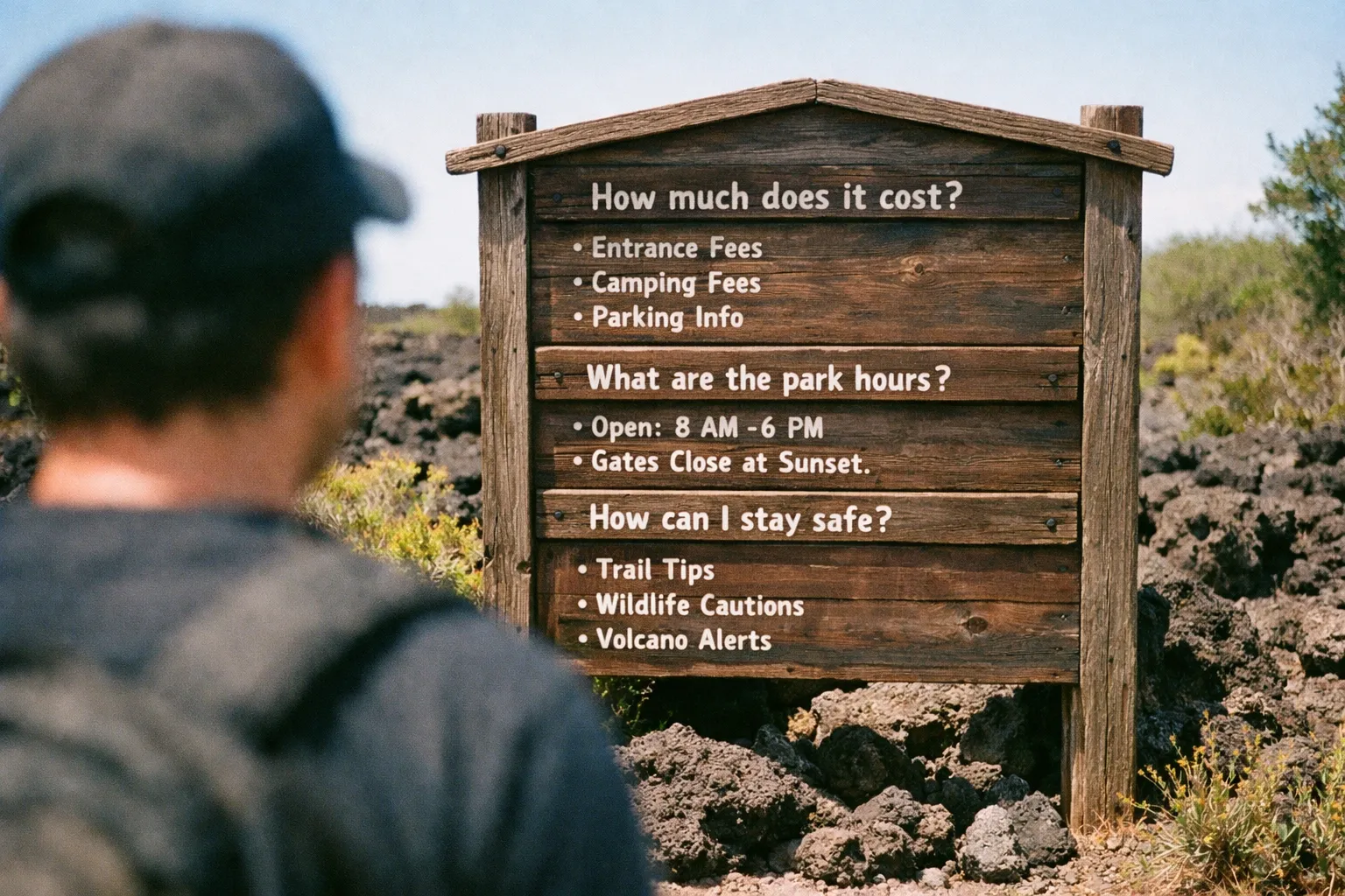
Three calls determine whether this trip works. First, check conditions the day before, not a week before - the USGS activity notice, the NPS road status page, and the live webcams all shift fast, and a status from last Tuesday tells you nothing. Second, give the park a full day, especially from Kona, where the round-trip drive alone eats 4 to 5 hours. Third, start at the Welcome Center at KMC, not the old visitor center location that still shows up on outdated maps.
Hawaii Volcanoes National Park is one of the few places on Earth where you can watch an active volcano from a paved overlook. It rewards people who show up prepared. Check USGS before you leave, pack water and eye protection, and don’t count on the eruption being active - count on the landscape being worth the drive regardless.