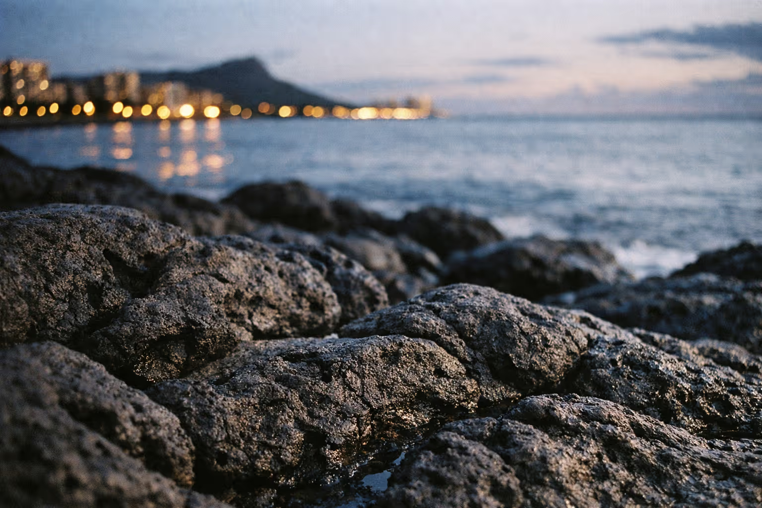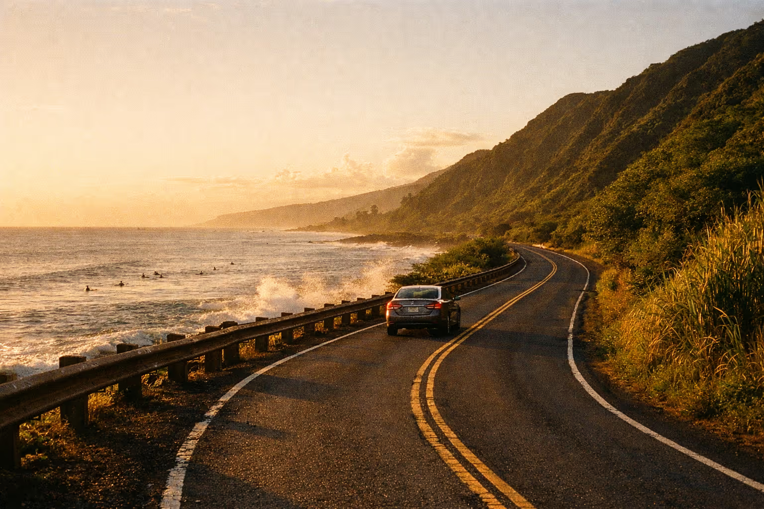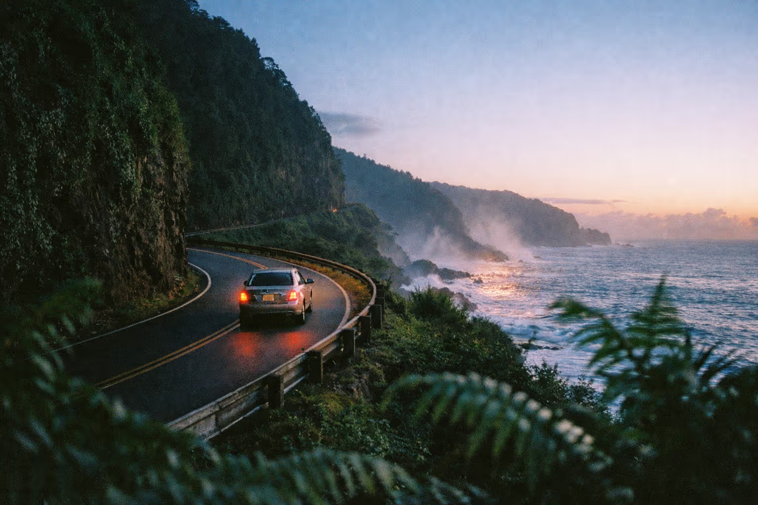
The Road to Hana covers 64.4 miles of Hawaii Routes 36 and 360, connecting Kahului to the town of Hāna - and it takes an entire day, not because of the distance, but because of everything that slows you down along it. From Kahului Airport, the drive starts on Route 36 east through Pā’ia; allow about 20 minutes to reach the start of the winding section near Twin Falls, and plan to fill your gas tank in Kahului before you leave since fuel options disappear quickly past Pā’ia. The route crosses 59 bridges, 46 of them one-lane, and roughly 620 curves, which is why 64 miles turns into 10 to 12 hours once you factor in stops, slow zones, and parking. This isn’t a list of every pullout on the highway. It’s a decision framework for a drive that rewards planning and punishes improvisation, especially in 2026, when lane closures, storm-related landslides, and tighter parking enforcement have made “just wing it” a genuinely bad strategy.
✓ Pros
- One of the more scenic coastal drives in the U.S., with rainforest, waterfalls, and lava coastline packed into a single route
- Flexible pacing - you decide which stops to make and how long to linger
- Anchor stops like Wai'ānapanapa State Park and the Pipiwai Trail are world-class, not just "nice for Hawaii"
- Accessible in a standard rental car for the out-and-back route; no 4x4 required
- Roadside food stands mean you don't need to pack a full day's meals
✗ Cons
- You want a half-day activity - this eats 8 to 12 hours door to door and won't pair with anything else major
- You can't book ahead: Wai'ānapanapa requires advance reservations, and same-day slots are unreliable in peak season
- You're relying on shoulder parking - 2026 enforcement has restricted or eliminated it at several classic stops
- Weather is unsettled - landslides and flooding have closed the highway multiple times in 2026 (2)(4)
- You were counting on the full back-road loop - the Pi'ilani Highway has had repeated storm damage and can't be assumed open
What the Road to Hana Actually Is (and Isn’t)
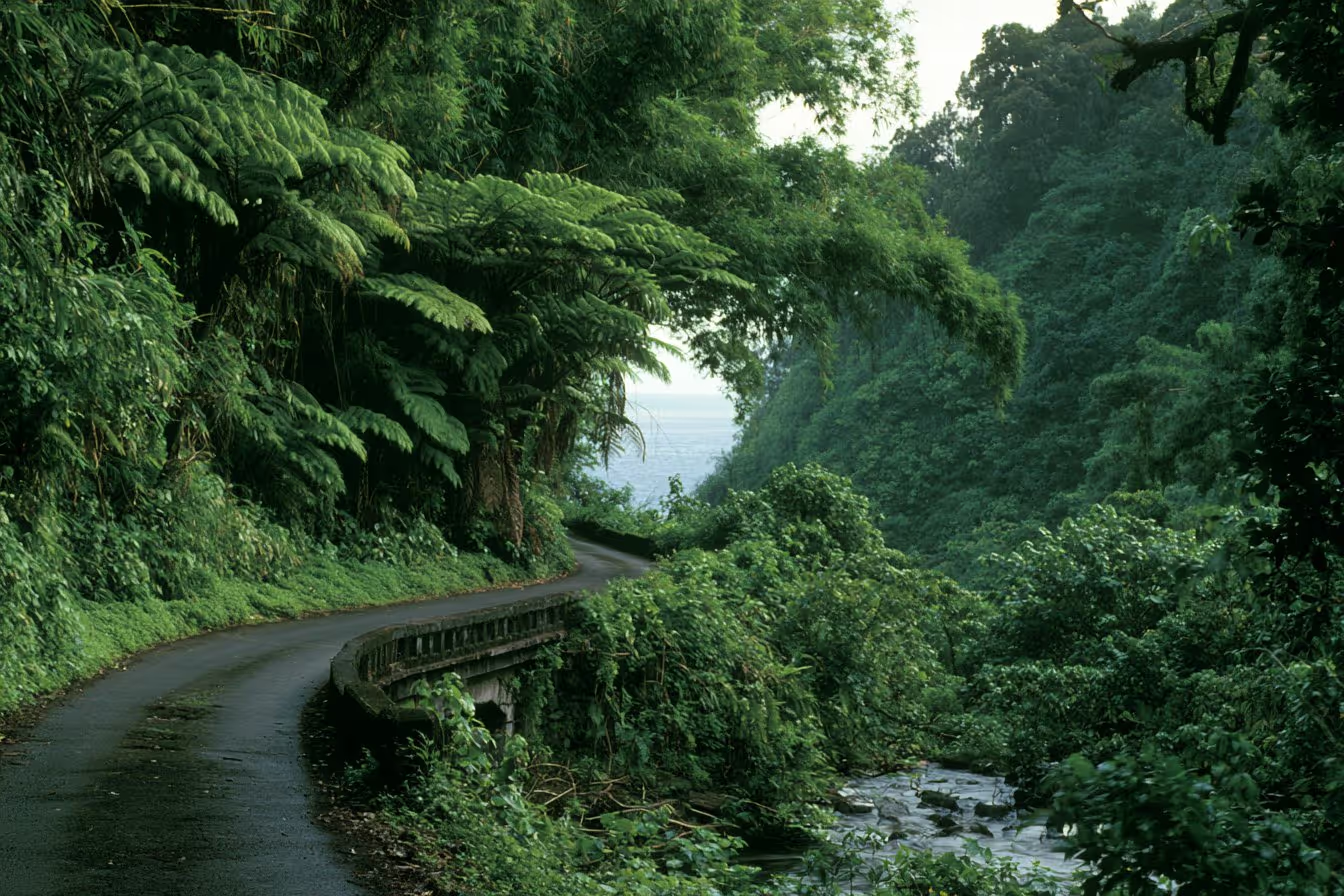
The Hana Highway starts as Route 36 out of Kahului and becomes Route 360 as it winds along Maui’s northeast coast toward the town of Hāna. The narrow, winding, one-lane-bridge character of the road is the experience itself - not just a delivery system for scenery. According to Wikipedia’s Hāna Highway entry, the drive covers 59 bridges and around 620 curves, which is why it takes roughly 2.5 hours nonstop despite the modest mileage (1). Nobody drives it nonstop, though. With stops, slow traffic, and parking hunts, plan for a full day.
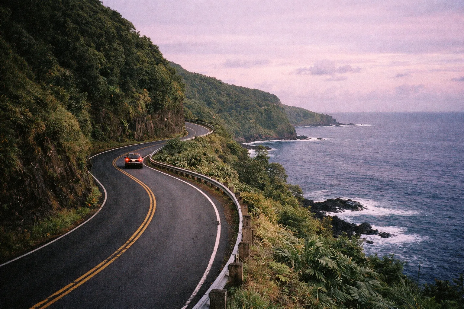
Road to Hana spans 64.4 miles with 59 bridges and 620 curves; plan for 10 to 12 hours with stops.
Here’s the gap that trips people up: 64 miles reads like a two-hour errand. In practice, Hawaii Guide’s 2026 itinerary and other current coverage frame this as a 10 to 12 hour round trip once you add stops (5). Treat it as your whole day, not a detour you’ll squeeze in before dinner.
The 2026 operational picture matters more than it used to. The Hawaiʻi Department of Transportation’s Maui roadwork page has shown roving single-lane closures on the Hana Highway between mile markers 1 and 3, with daytime work windows such as 8:30 a.m. to 2:30 p.m. (1). Storm damage has also hit the far end of the corridor: February 2026 advisories noted fallen trees and landslides near mile markers 15 and 21, and separate reporting described a large landslide closing the highway around mile marker 14 (4)(2). This is a road that changes week to week.
The out-and-back vs. full loop decision
Maps show the Pi’ilani Highway (Route 31) continuing past Hāna and Kīpahulu to loop back around East Maui, and it’s tempting to plan a full circle. Don’t assume it’s driveable. MauiHacks notes that sections of the Pi’ilani Highway are graded and graveled with exposure to rockfalls and storm damage, and 2026 coverage has repeatedly flagged it as intermittently impassable. The practical default is out-and-back to Hāna or Kīpahulu, then retrace your route. If the back road is confirmed open the morning of your drive and your rental agreement allows it, it’s a worthwhile and very different experience - but plan the out-and-back and treat the loop as a bonus.
Is the Road to Hana dangerous?
The road has a reputation that runs ahead of its actual risk. There’s no single official annual fatality count widely published for the route, and the honest framing is that most serious incidents involve speeding, distraction, or improper yielding on one-lane bridges rather than the road being inherently deadly. Drive near the posted 25 mph limit, yield correctly at one-lane bridges (the yield sign tells you who has right of way), and keep your phone down while moving. Done with care, this is a manageable drive in a standard car.
There are also plenty of places to turn around. Wide pullouts appear throughout the route, and the town of Hāna itself is the most natural stopping point. You are not obligated to push all the way to Kīpahulu. Ke’anae Peninsula around mile marker 17 and Wai’ānapanapa around mile marker 32 both make sensible turnaround points if timing or weather turns against you.
Best Time to Drive Road to Hana
Leave Kahului before 8:00 a.m. - ideally closer to 7:00. Tour buses and day-trippers hit the road mid-morning, and parking at popular stops fills fast. Wanderlustyle’s 2026 guide explicitly recommends an early-morning start from Kahului or South Maui to stay ahead of traffic and parking congestion, framing the drive as a full-day commitment of 10 to 12 hours round trip. This isn’t a soft suggestion.
There’s a second, more specific reason to clear Kahului before 8:00 a.m. in 2026: the HDOT lane closures. The department’s Maui notices have listed daytime work on the Hana Highway between mile markers 1 and 3 running from 8:30 a.m. to 2:30 p.m. (1). Leaving before the work window opens means you pass through that early stretch without hitting a single-lane hold that ripples through the rest of your day.
On the question of season, no single month dominates, but the tradeoffs are real. Winter (December through March) brings the heaviest rainfall on the East Maui coast and the highest risk of landslide and flood closures - Island Life Hawaii’s guide notes that weather-related closures are more likely in winter months. September and October tend to offer lighter crowds and easier Wai’ānapanapa reservation availability. If you have flexibility, aim for the shoulder months.
The east side of Maui is genuinely wetter than the west and south, and afternoon thunderstorms are common. Arriving early at your key stops means better conditions, better light, and more daylight buffer for the return drive - which you’ll be doing tired. If you’re still deciding how Maui fits into a broader Hawaii trip, the best places to visit in Hawaii by trip type can help you weigh the island against other options before you commit a full day to this route.
How to check road status before you leave
Check the official notices the morning of your drive, not the night before. The most relevant updates are same-day. Two sources cover it: HDOT’s Maui lane-closure and roadwork page for scheduled maintenance holds, and Maui County emergency advisories for weather events. This isn’t hypothetical caution. MauiNow’s March 14, 2026 coverage of a Kona storm documented Hāna Highway into East Maui as “inaccessible due to multiple roadway blockages,” with travel restricted to local traffic only during the emergency period. A five-minute check before you leave Kahului can save you a wasted day.
Road to Hana Stops Worth Anchoring Your Day Around
Dozens of pullouts line the 64-mile route, and some guides list 20 or more named stops - but a realistic full day holds only 6 to 8 that justify the time, especially now that 2026 parking enforcement has made shoulder stops at several classic spots impractical. Below are the anchors, in mile-marker order. Pick from these based on how your day is running, and leave room for the unexpected.
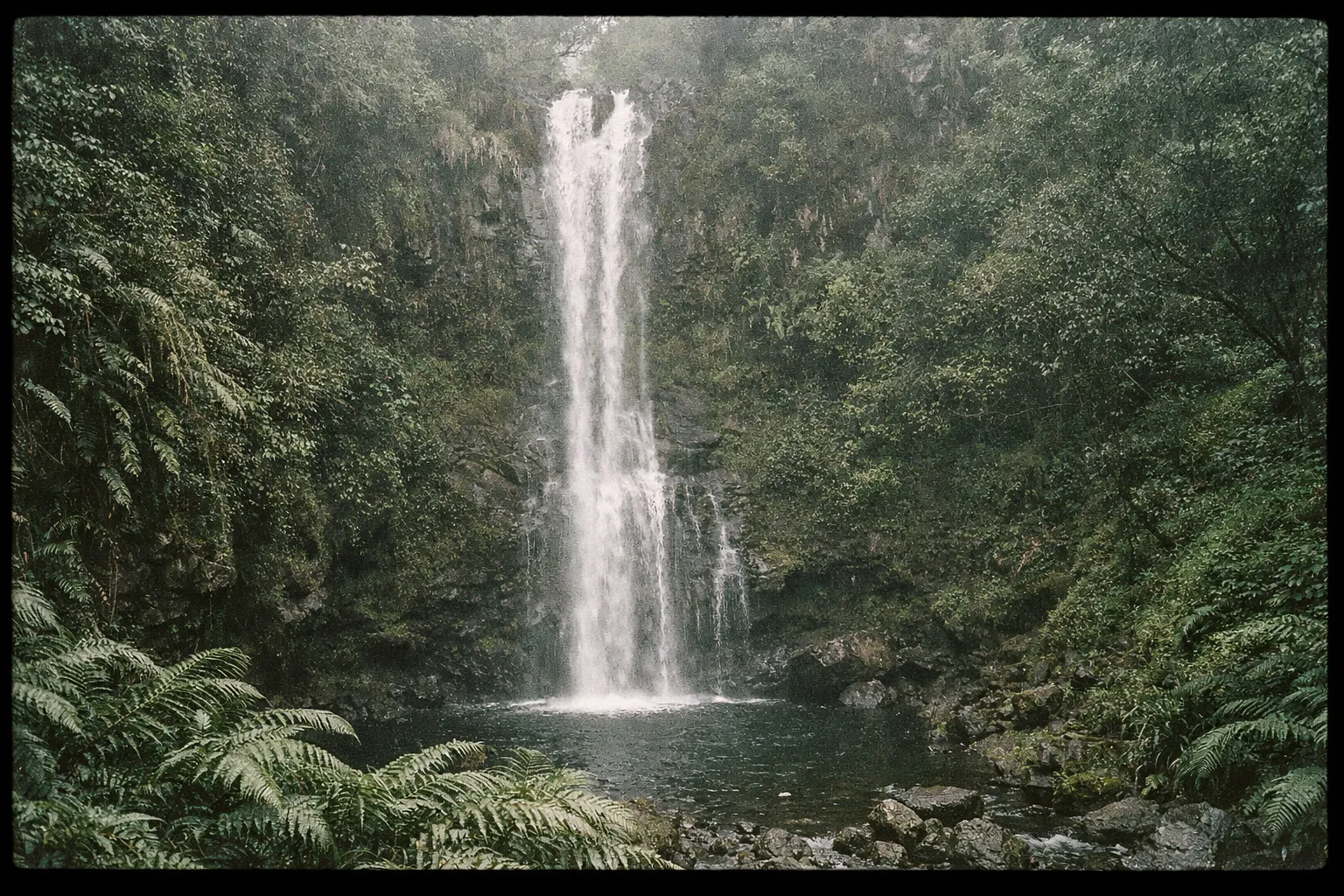
Twin Falls (Mile Marker about 2)
Twin Falls is the first major waterfall stop past Pā’ia, and its early position on the route makes it easy to reach before crowds build. According to Hawaii Guide, there’s a short, easy walk to the lower falls and longer trails to the upper falls (5). Parking enforcement has tightened here - use the designated lot, not the shoulder. This is a solid warm-up stop, but don’t over-invest your time if you’ve got a full day planned ahead. Twenty minutes to an hour is plenty.
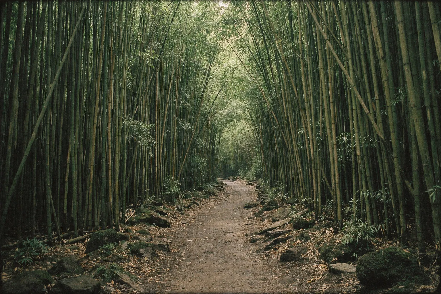
Waikamoi Nature Trail and the bamboo forest (Mile Marker about 9-10)
The Waikamoi Nature Trail around mile markers 9 to 10 is a short loop through native forest and bamboo, and Island Life Hawaii rates it among the better early-route hikes. Worth clarifying: this bamboo forest section on the road to Hana is a different stop from the more famous bamboo stretch on the Pipiwai Trail near Kīpahulu, which comes much later and past Hāna. Parking restrictions are in effect here too, so roadside stopping is discouraged - look for the designated pullout.
Ke’anae Peninsula (Mile Marker about 17)
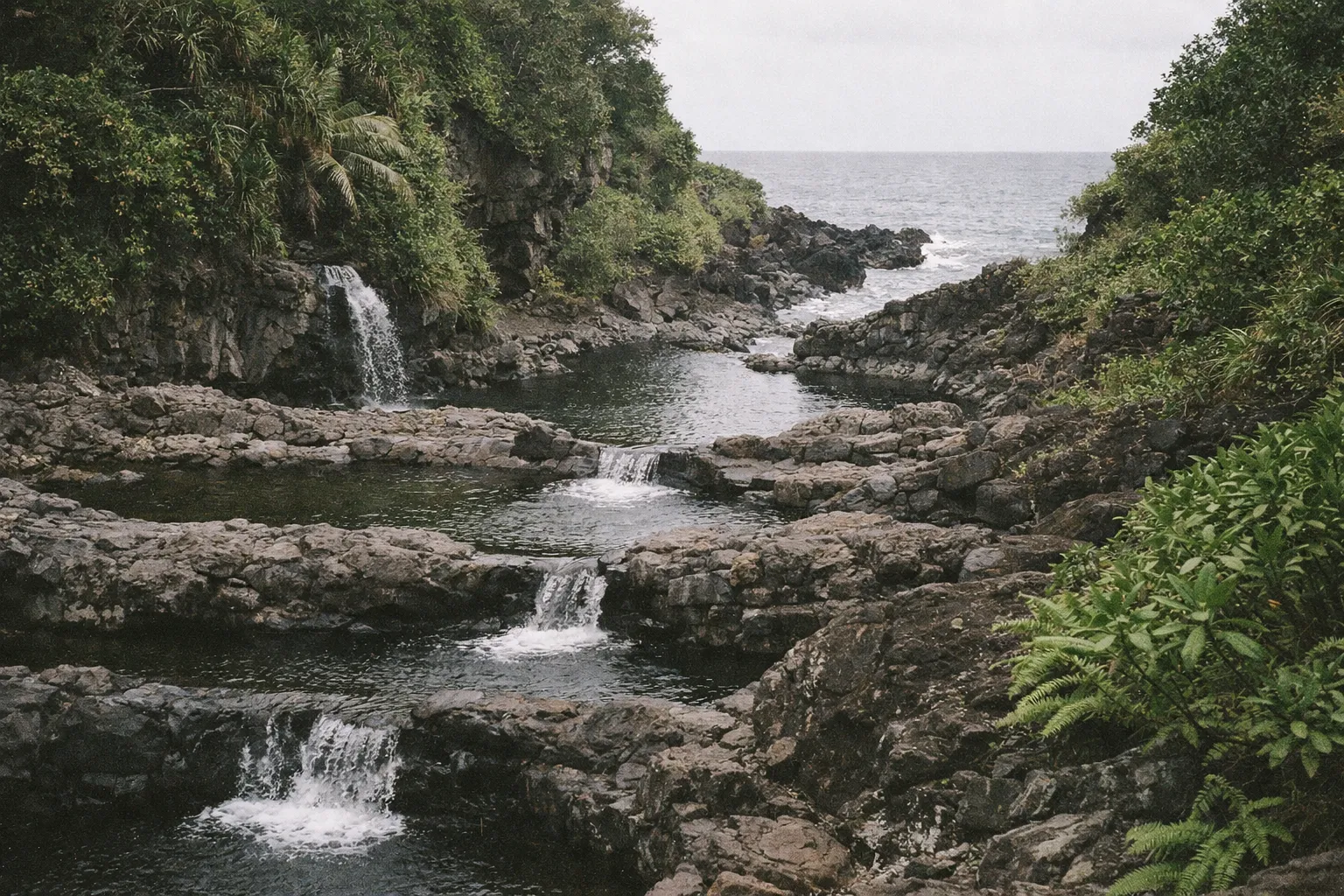
Ke’anae Peninsula is where the landscape shifts completely. Lava-rock coastline with dramatic wave action, taro fields, and a historic Hawaiian village - the change in scenery from rainforest to raw black coast is abrupt in the best way. No reservation is required, and parking is limited but manageable with an early start. It’s one of the most visually distinct stops on the whole route.
This is also your most reliable mid-route food stop. Hawaiʻi Magazine’s banana bread feature places the Halfway to Hana stand at 13710 Hāna Highway, near mile marker 17 on the Ke’anae Peninsula, and flags it as a dependable spot for banana bread and snacks - with the caveat that the small roadside location has limited parking.
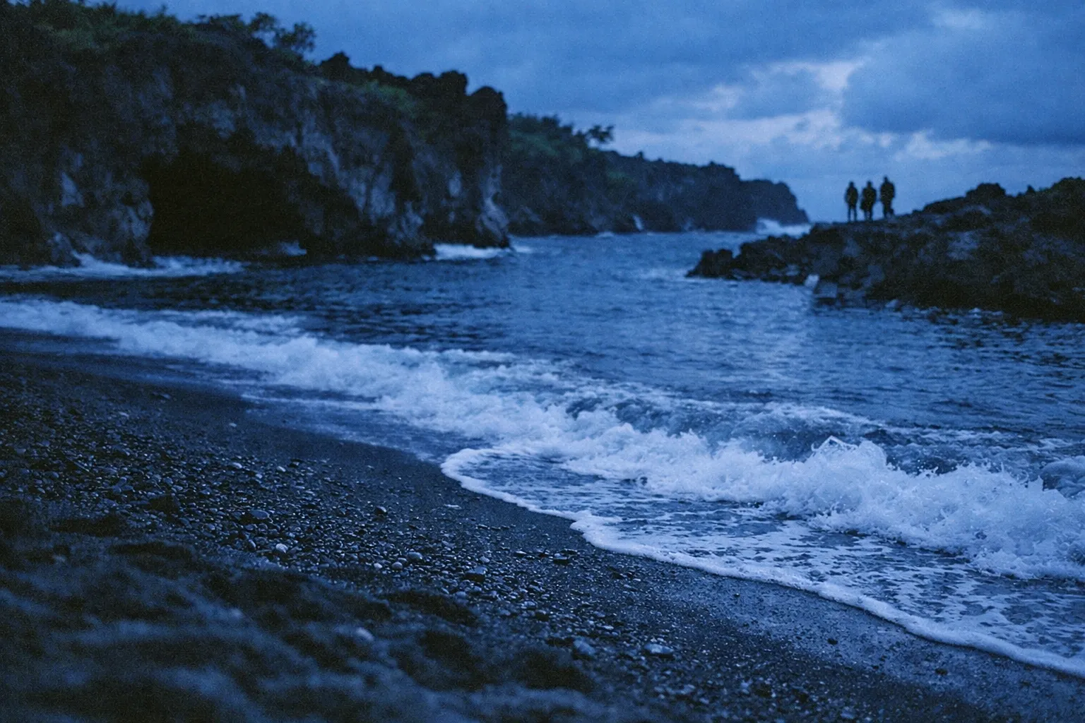
Wai’ānapanapa State Park - Pa’iloa Black Sand Beach (Mile Marker about 32)
Wai’ānapanapa State Park is the single most important reservation on the entire drive, and it cannot be improvised in peak season. Non-resident visitors pay an entry and parking fee - check the official Hawaii State Parks site for current rates before you book, as figures can change between seasons. Time-slot reservations are required for all visitors (as of 2026), with advance booking available through the Hawaii State Parks reservation page. Same-day slots are unreliable when it’s busy, so book before your trip.
What you get is worth the advance planning: the Pa’iloa black sand beach, sea caves, and a coastal trail along genuinely striking volcanic shoreline. Note that this is the only place on the highway with a formal reservation system - there’s no comprehensive booking requirement for the road as a whole. If there’s one thing you plan ahead, make it this.
Pipiwai Trail and Waimoku Falls (Kīpahulu, past Hāna)
The Pipiwai Trail is one of the best hikes on Maui - a roughly 4-mile round trip through bamboo forest to the 400-foot Waimoku Falls, with a recommended hiking time of 2 to 3 hours according to the National Park Service. It sits in the Kīpahulu District of Haleakalā National Park, where entry runs approximately $30 per private vehicle, valid for 3 consecutive days, per the National Park Service fee schedule - check the official NPS site before visiting to confirm current rates, as fees are subject to change. This is a commitment, not a quick photo stop. Budget the time honestly, and pair it with the Pools of Ohe’o (sometimes called the Seven Sacred Pools) at the same location. If you’re arriving at Wai’ānapanapa past noon, the math on reaching Kīpahulu and getting back before dark gets tight. Know that before you leave.
Wailua Falls (Mile Marker about 45)
Wailua Falls, near mile marker 45 past Hāna, is one of the few genuinely easy stops on the far side of the route - a roadside waterfall visible from the bridge and pullout, requiring no more than a few minutes and no formal trail. Good for families or anyone running low on time and energy, and it combines naturally with the Kīpahulu stop since they’re on the same stretch.
(Editor: embed or link a Google Maps route with these stops pinned in mile-marker order.)
What to Skip When Time, Parking, or Weather Is Against You
The stops most worth skipping in 2026 are the shoulder-only pullouts with no formal parking - enforcement has made them a liability rather than a shortcut. Island Life Hawaii’s guide warns that spots like Ching’s Pond and certain Hanawi Stream pullouts now face no-parking enforcement, and Pua’a Ka’a State Wayside Park falls into the same category. The rule of thumb: if there’s no designated lot, skip it and keep moving. A citation or a tow will cost you more time than the photo was worth.
Skip the back-road loop unless it’s confirmed open. The Pi’ilani Highway has been intermittently impassable in 2026 due to storm damage, and MauiHacks notes its graded, graveled sections are exposed to rockfalls. The risk of getting stranded or backtracking for hours is real. Check HDOT’s Maui closure notices the morning of your drive - if it’s not confirmed open, treat it as closed.
Skip Kīpahulu if you started late. If you’re rolling into Wai’ānapanapa after noon, spend your remaining time at mid-route stops rather than gambling on the long push to Kīpahulu and a rushed return in fading light.
Skip the long waterfall hikes when weather is deteriorating. Rain on the Hana side changes trail conditions fast. A waterfall trail that’s fine at 9 a.m. can be flooded and slick by 2 p.m. During the March 2026 Kona storm, Hāna Highway access into East Maui was fully blocked, which underscores how quickly heavy rain escalates. If it’s already pouring, the payoff isn’t worth the footing. For a broader look at Hawaii hiking safety tips - including flash flood risk and what to carry on wet trails - that guide covers the full picture across all islands.
Research Kaihalulu (Red Sand Beach) before committing. It’s genuinely striking, but the access path crosses an eroding cliffside with narrow ledges above the ocean, and Island Life Hawaii flags it as hazardous for inexperienced hikers or in wet weather. Skip it when time or conditions are marginal - that’s most visitors on most days.
How to read the day and decide your turnaround point
A simple framework: if you haven’t reached Wai’ānapanapa by 11:00 a.m., consider skipping Kīpahulu entirely and spending the extra time on the mid-route stops you’ve already reached. Watch the weather as a leading indicator too - if it’s raining hard at Ke’anae, the Hana side will be wetter still, so adjust your trail expectations before you get there. Deciding your turnaround point before you leave the driveway is the single best way to avoid a stressful, dark, rushed drive home.
Self-Driving vs. Road to Hana Tours
Self-driving gives you full schedule control. A guided tour offloads the driving, parking, and reservation stress. In 2026, that tradeoff has shifted slightly toward tours for first-timers - not because the drive is harder, but because the logistics overhead has grown.
Self-driving’s advantages are real: you set the pace, linger at the stops you love, skip the crowded ones, and turn around whenever conditions change. The friction, though, has grown. You’re managing parking enforcement at major stops, booking Wai’ānapanapa in advance yourself, securing Haleakalā entry for Kīpahulu, and running same-morning road checks. Wanderlustyle’s 2026 guide points out that self-drivers must secure their own Wai’ānapanapa reservations and park entry, whereas many guided road to Hana tours either include Wai’ānapanapa access or adjust itineraries when reservations are unavailable.
On the tour side, a driver handles navigation and the one-lane bridges, and operators often carry current road intel. Valley Isle Excursions, a frequently referenced Road to Hana operator, runs full-day guided tours of roughly 10 to 11 hours door to door with round-trip hotel transportation - which matches the typical self-drive time commitment while removing the driving stress. The limitation is fixed scheduling: you get less time at the stops you’d want to linger at, and if closures reshape the route, the operator decides the adjustment. Ask which stops are actually available the week you’re booking.
On cost, Valley Isle Excursions’ published rates vary by season and package - check their site directly for current pricing. For two people sharing a rental car, self-driving is usually cheaper per head than a guided tour. For solo travelers or anyone who finds the logistics genuinely stressful, the per-person tour price can be worth it.
One rental-car caveat regardless of choice: Hawaii Guide’s Maui car-rental tips note that some rental contracts explicitly restrict travel on unpaved sections and certain back roads, including portions beyond Hāna on the Pi’ilani Highway, and may void coverage if you drive prohibited roads. Verify your agreement’s terms before you plan an out-and-back versus a loop.
Self-Drive vs. Guided Tour
| Self-Drive | Guided Tour | |
|---|---|---|
| Schedule flexibility | Full control | Fixed itinerary |
| Parking stress | High (enforcement active) | Managed by operator |
| Wai'ānapanapa access | Requires advance reservation | Operator may handle |
| Road condition response | Your call | Operator adjusts |
| Cost | Rental car + fees | Tour price (varies) |
| Best for | Repeat visitors, planners | First-timers, low-stress preference |
Maui: Small-Group Road to Hana Sightseeing Tour
If the right column above describes you, this is the small-group version of it: an 8-hour sightseeing run with hotel pickup, so the one-lane bridges and the parking enforcement stop being your problem. Confirm how the operator handles the Wai'anapanapa reservation when you book, since that is the detail the table leaves open.
Check availabilityWhat to Bring and How to Fuel Up Along the Route
Fill your gas tank in Kahului before you start. Fuel options thin out fast along the route, and Hawaii Guide notes the distance from Kahului to the Kīpahulu area runs about 61 miles one way, making a full tank advisable for the 120-plus mile round trip with stops (5). Handle this first - it’s the easiest thing to forget.
Food on the corridor is real but limited. There’s no reliable sit-down dining until Hāna town, and the roadside stands keep inconsistent, daytime-only hours. The Halfway to Hana stand near Ke’anae (mile marker 17) is the most dependable mid-route option for banana bread and snacks - a TripAdvisor listing shows typical hours of 8:30 a.m. to 4:30 p.m. Don’t count on finding food whenever you happen to get hungry; plan around these windows. For a full rundown of what to pack for any Hawaiian adventure - from ocean safety gear to offline navigation - the Hawaii travel tips guide covers airports, budgeting, and island-specific logistics in one place.
Pack these:
- Water, more than you think. Hiking in humid rainforest conditions burns through hydration faster than expected.
- Offline maps and a car charger. Cell service is intermittent or absent for long stretches of the route. Download Google Maps offline before leaving Kahului, and bring a charger - a full day of GPS and photography drains a phone battery completely on a 10 to 12 hour trip.
- Water shoes or grippy sandals for waterfall and stream areas, where footing gets slick.
- A lightweight rain jacket. East Maui gets frequent showers; you will likely meet at least one.
- Sunscreen for the exposed coastal stops like Wai’ānapanapa, where the shade disappears.
- Both cash and card. Some roadside stands are cash-only; others take cards. Carry both.
Confirm one more time that your rental agreement permits road to Hana travel. Some companies restrict it or require notification, and finding out afterward is an expensive way to learn.
Road to Hana: Common Questions
- What are the must stops on the Road to Hana?
- The stops that consistently justify the time are Wai'ānapanapa State Park (black sand beach - reserve in advance), the Pipiwai Trail to Waimoku Falls, Ke'anae Peninsula, and Twin Falls as an early warm-up. If you only have time for three, make it Wai'ānapanapa, Ke'anae, and one waterfall hike.
- How many stops are there on the Road to Hana?
- Dozens of pullouts exist along the 64-mile route - some guides list 20 or more named stops. In practice, 6-8 well-chosen stops is a realistic full-day itinerary. 2026 parking enforcement has made shoulder stops at several classic locations impractical.
- How many fatalities on the Road to Hana?
- There's no single official annual count widely published, but most serious incidents involve speeding, inattention on one-lane bridges, or unfamiliarity with the road's character. Drive at the posted 25 mph limit and yield properly at one-lane bridges.
- Are there places to turn around on the Road to Hana?
- Yes - wide pullouts appear throughout, and the town of Hāna itself is the most natural turnaround point. Ke'anae Peninsula and Wai'ānapanapa are also reasonable stopping points before the return drive.
- Do I need reservations for the Road to Hana?
- Wai'ānapanapa State Park requires a reservation - $5 per person plus $10 per vehicle, bookable up to 30 days in advance. The Pipiwai Trail requires Haleakalā National Park entry (about $30/vehicle). Other stops are walk-up, though parking fills early.
- Is the Pi'ilani Highway back road safe to drive?
- Not reliably in 2026. Storm damage has caused intermittent closures, and graded sections are exposed to rockfalls. Check HDOT's Maui closure notices the morning of your drive. If open and permitted, it's worthwhile but don't assume availability.
- What's the best way to check road conditions before driving?
- Check HDOT's Maui lane-closure and roadwork notices the morning of your drive, not the night before. Maui County issues emergency advisories for severe weather that can restrict East Maui access. A quick check before leaving Kahului can save a wasted day.
- Can I do the Road to Hana with kids?
- Yes, but plan for a long day - 10+ hours is realistic. Prioritize stops with short walks and clear payoffs: Twin Falls, Ke'anae Peninsula, and Wai'ānapanapa beach. Skip long hikes like Pipiwai unless kids handle 4-mile round trips comfortably.
Plan the Version That Works
The road to Hana is worth doing. I’ve watched people burn two hours of a perfect morning sitting in a construction hold at mile marker 2 because they left Kahului at 9:00 a.m. - the version that works is the one you planned for, not the one where you wing it and hit a no-parking sign at 11 a.m. with nowhere to pull over. Most guides undersell how much the logistics have tightened in recent years: the parking enforcement, the reservation requirements, and the storm-closure frequency have turned “just drive it” into a genuinely unreliable strategy. The difference between a good day and a frustrating one comes down to a few decisions made before you leave the driveway.
Three things carry most of the weight. Check road status the morning of your drive using HDOT and Maui County notices. Book Wai’ānapanapa in advance - it’s the one reservation you can’t improvise. And leave Kahului by 7:00 a.m. to clear the early work zone and beat the buses to parking.
Beyond that: do less, not more. Fewer stops, an earlier start, and a turnaround point you’ve committed to before you pull out. Aim for 6 to 8 anchor stops, not a comprehensive checklist, and you’ll actually enjoy the ones you make. If this drive has you thinking about what else Maui - or the other islands - can offer, things to do in Hawaii ranked by worth-the-detour is a useful next read for building out the rest of your trip.