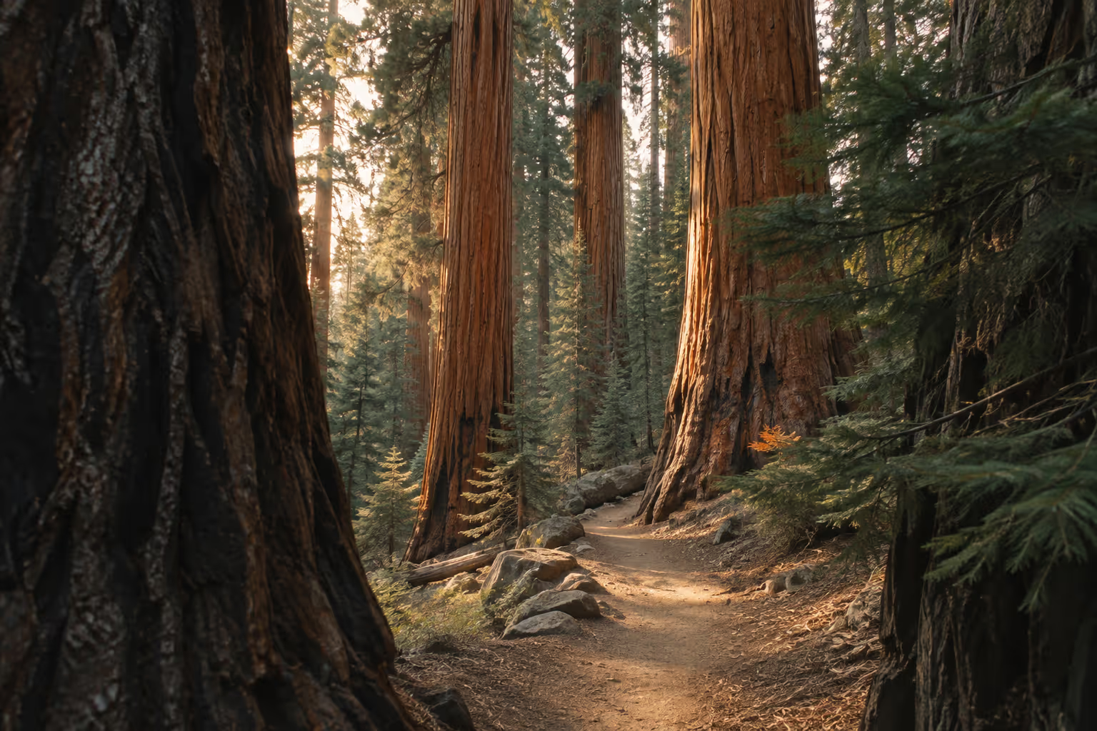
The General Sherman Tree and Moro Rock sit a few miles apart in Giant Forest, the core of Sequoia National Park in California, and each one runs on its own seasonal rules. Most winters, the highway linking the park to Kings Canyon goes unplowed from early January to mid-March. The Moro Rock staircase becomes unsafe the moment ice shows up. Those two facts shape a trip plan more than any viewpoint description, so this guide starts with access and gets to the scenery second.
✓ Pros
- Two major sequoia stops sit close enough to combine without turning the day into a long hike.
- One park pass covers Sequoia and Kings Canyon, making an open-road day trip between them practical.
- The route climbs through distinct elevations, so visitors can choose between foothill stops and the higher groves.
✗ Cons
- A vehicle itinerary relies on narrow mountain roads rather than a simple park shuttle network.
- Fuel and charging require planning outside the parks, especially for visitors approaching on a low tank or charge.
- A change in snow or ice conditions can remove planned road access or a staircase climb.
Sequoia National Park: Location, Size, and Entry Basics
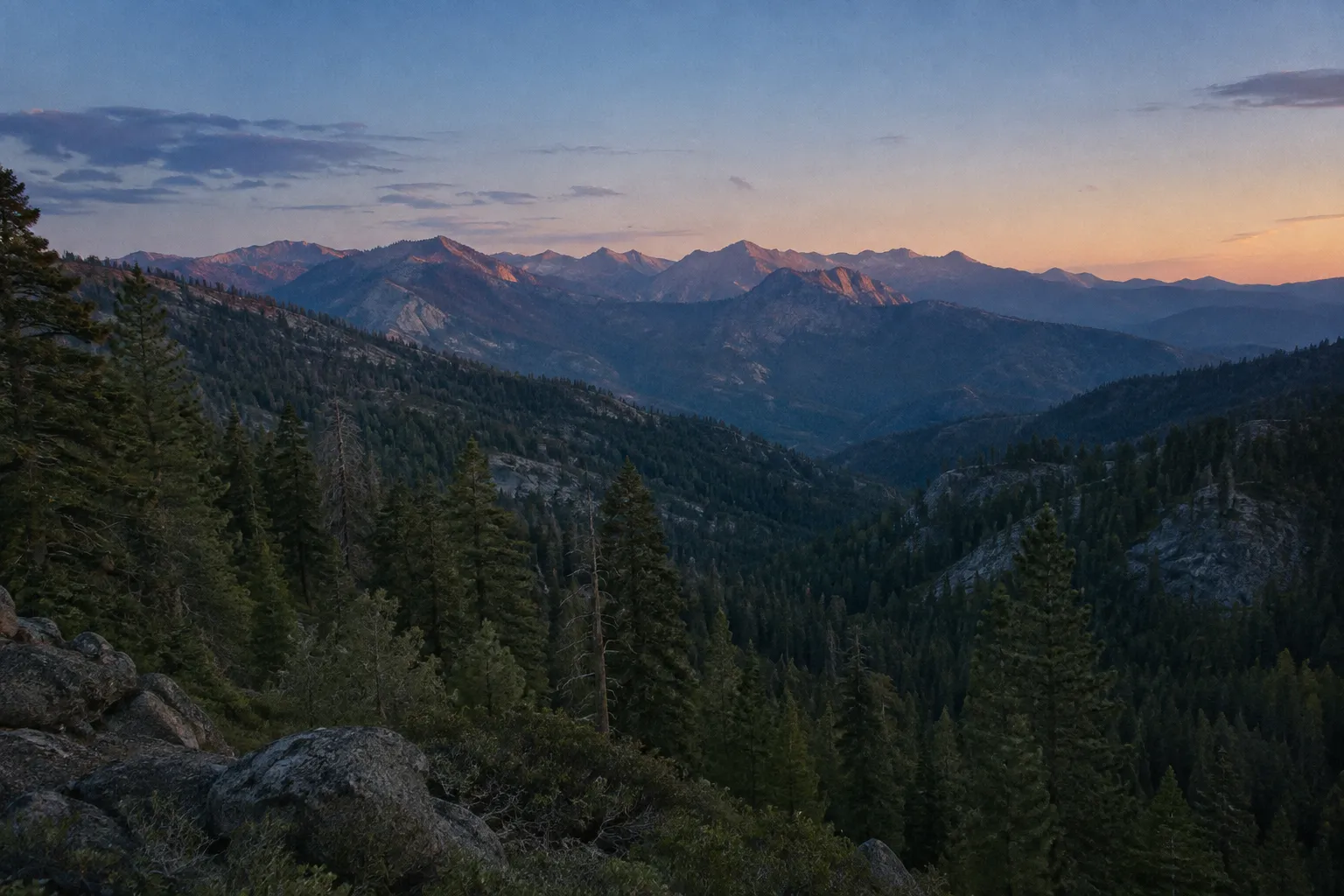
Sequoia National Park sits in California’s southern Sierra Nevada, east of Visalia and southeast of Fresno, and was established on September 25, 1890 (9). That makes it the second-oldest national park in the US after Yellowstone (9), though the park you visit today is much larger than the original. The Great Western Divide, Kern Canyon and Mt. Whitney were added in 1926, Mineral King in 1978, and Dillonwood Grove in 2001 (9). In practice, the park runs from hot, dry foothills to high mountain passes where snow lingers well into summer, and that elevation spread is why the weather differs so much between areas (8).
How to get there
You enter by road from one of two directions:
- Highway 198 from Visalia through Three Rivers to the Foothills (Ash Mountain) Entrance. This is the direct route to Giant Forest, with Moro Rock towering thousands of feet above the road as you climb (1).
- Highway 180 from Fresno to the Big Stump Entrance in Kings Canyon. From there you turn south on the Generals Highway toward Giant Forest.
Fresno and Visalia are the gateway cities, and the parks are a driving trip: plan on a car.
Entrance fees and passes
As of November 2026, the 7-day private-vehicle pass costs $35 and covers one vehicle and its passengers at both Sequoia and Kings Canyon (10). Non-US residents aged 16 and older also pay a $100 per-person fee unless they enter with an annual or America the Beautiful pass (10). The park does not accept cash at entrance stations, so carry a card (10). An America the Beautiful pass replaces the entrance fee entirely, and seniors, military members, visitors with a permanent disability, and families with a 4th grader can get one free or discounted (10).
When to Go and What to Prioritize
The best months for most visitors to Sequoia are late September through mid-October. The road between the parks is open and the sequoia groves have warm days and cool mornings (14). Summer brings the free shuttle, but ozone levels are highest from May to October, peak in late afternoon, and sometimes reach unhealthy levels by state and federal standards (16). Side trips close as fall goes on: Mineral King Road closed for the winter on October 28, 2026 (13), and the road to Cedar Grove closed for the winter on November 13, 2026 (14).
Fall has a cost. The summer shuttle ended on September 7, 2026, and the fare-free shuttle runs again only on holiday dates, starting with Thanksgiving, November 26 to 29, from 10 a.m. to 4:30 p.m. (18). Outside those dates you are competing for limited parking. Snow can fall at higher elevations at any time of year (7), so pack layers even in September.
Wuksachi Lodge, two miles from Lodgepole Village at 7,050 feet, is the in-park base for a late-fall trip, and chains may be required to reach it during winter storms (21). Lodgepole Grill closed for the winter on November 2, 2026 (14).
If you are weighing this trip against Yosemite, Sequoia is the slower, tree-focused park and Yosemite the one for waterfalls and granite walls.
Top things to do, ranked
Worth the detour:
- General Sherman Tree. The largest tree on Earth by volume, a half-mile (0.8 km) walk from the main lot (6).
- Moro Rock, when the steps are dry. It has the best panoramic view in the park for the least effort.
- The Generals Highway drive from Ash Mountain to Lodgepole. Allow 1.5 hours one-way plus stops (7). Hospital Rock and Amphitheater Point are the pullouts worth using.
- Crescent Meadow. It sits at the end of the same road as Moro Rock (2), so pair the two while that road is open.
- General Grant Tree in Kings Canyon’s Grant Grove. Make the trip if the highway between the parks is open.
Skip if short on time: Mineral King. The area begins 9.4 miles (15.1 km) or about 45 minutes up a narrow, curving road off Highway 198, and the road has construction work planned through 2027 (13). It closed for the winter on October 28, 2026 (13) and generally reopens the Wednesday before Memorial Day (5). It suits a second trip, not a first one. Crystal Cave is also off the list until late spring 2027: tours ended for the 2026 season, and tickets are sold online only (22).
The General Sherman Tree: Reaching the World’s Largest Tree
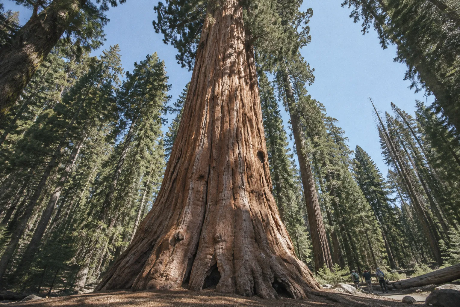
The General Sherman Tree is the largest tree in the world by trunk volume, standing 274.9 feet (83.8 m) tall with a 102.6-foot (31.1 m) circumference at ground level (15). It sits at the north end of Giant Forest (15), two miles (3.2 km) north of the Giant Forest Museum and 3 miles (4.8 km) from the Lodgepole Visitor Center (6).
What Is the General Sherman Tree?
There are taller trees and wider trees. What sets the General Sherman Tree apart is mass: its trunk holds an estimated 52,500 cubic feet (1,486.6 cubic m) of wood and weighs nearly 1,400 tons (15). The most recent age estimate is about 2,200 years: the tree is not as old as once thought (6). Before the park existed, the Kaweah Colony, a utopian group based in Three Rivers, called it the Karl Marx Tree (6).
The tree itself is a short stop. The trunk is fenced off, and the crown is too high to take in from the base. The walk through the surrounding grove and the scale of the neighboring sequoias are what make the stop worth it. Don’t budget a half day here.
Accessible Path vs. the Main Half-Mile Trail
Two trails reach the tree, and the right one depends on mobility and time:
- Main trail: Park at the main Sherman Tree lot off Wolverton Road (15), then walk about 0.5 mile (0.8 km) to the tree (6). The lot sits above the grove, so the walk back is uphill at elevation. Go slowly if you came up from sea level that morning. Once snow accumulates, this lot closes (15).
- Accessible path: A paved, wheelchair-accessible path about 500 feet (150 m) long runs from designated accessible parking on the Generals Highway (6). In summer that small lot is for disability placard holders; once the main lot closes for snow, it becomes the Sherman Tree parking for everyone (15).
Parking is the real constraint. The Sherman Tree and Giant Forest Museum lots can fill early on weekends and holidays, so park in a larger lot and take the fare-free shuttle when it is running (14). In winter the trail usually stays open, but it can be icy (7). Bring traction devices for your boots and allow extra time.
Moro Rock: Climbing the Stairway for the View
Moro Rock is a granite dome at the edge of Giant Forest. A stairway of more than 350 steps climbs 300 feet (91 m) over 0.25 mile (0.4 km) to the summit (1), which sits at 6,725 feet (2,050 m) (9). The concrete and stone staircase has handrails, but steep dropoffs run along the entire route, so keep small children close (2).
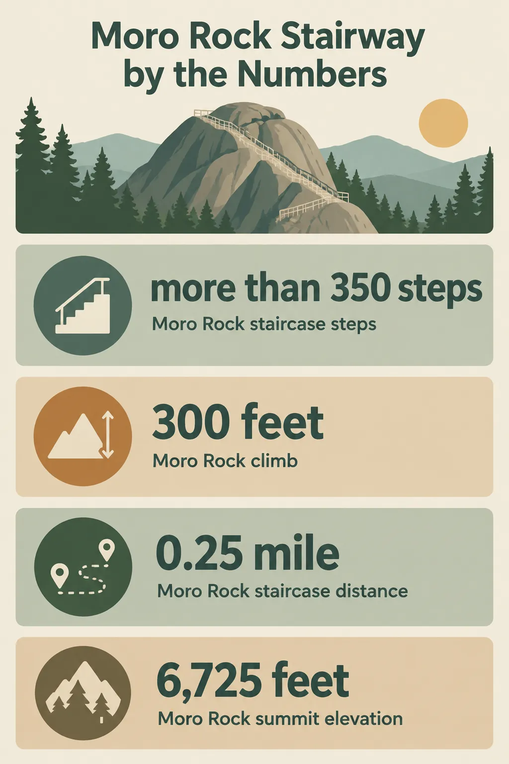 Moro Rock’s staircase has more than 350 steps, climbs 300 feet over 0.25 mile, and reaches a summit at 6,725 feet.
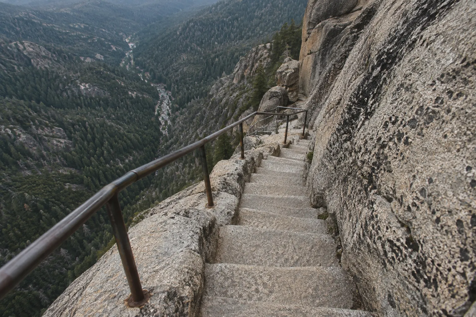
The view from the top is 360 degrees. The Great Western Divide lies to the east, and the foothills and San Joaquin Valley spread out to the west (1)(4). On a clear day you can see California’s Coast Range (1). Budget 30 to 120 minutes (1). Climbing at dawn or before dusk gives you sunset, moonrise and a wide night sky, which is rare in the forested parts of the park (4). Peregrine falcons nest on the rock in summer. The resulting closures apply to technical climbers, not hikers on the stairway (2).
Summer Access: Shuttle Days and Road Closures
Moro Rock in summer runs on the shuttle schedule. Free shuttles leave from the Giant Forest Museum for the Moro Rock parking area (2)(5). On weekends and holidays while the shuttle operates, the Moro Rock/Crescent Meadow road is closed to private vehicles during the day, so the shuttle is your only option (5). On weekdays you can drive in, but the small lot fills (2). If it is full, return later rather than circling (1).
Winter: Why the Staircase Closes
Moro Rock in winter is a view from below. The Moro Rock/Crescent Meadow road is not cleared of snow: once snow closes it, it becomes a ski trail to the parking area (2)(17), and the National Park Service treats the staircase as unsafe when icy or snowy (1)(4). As of November 21, 2026, the road was closed to vehicles because of snow and open only to pedestrian recreation (17). Don’t climb if you see snow or ice on the steps. Catch the dome from the Generals Highway instead, and use a designated pullout rather than stopping in the road for photos (1).
Driving the Generals Highway Between Park Entrances
The Generals Highway is the main road through Sequoia and into Kings Canyon. The section from Potwisha to Giant Forest carries a 22-foot (6.7 m) vehicle-length advisory, so longer vehicles should enter via Highway 180 at Big Stump (5). If you drive an RV or tow a trailer, check the advisory before you choose an entrance (5).
The section between Hospital Rock and the Giant Forest Museum is very curvy and narrow, and the park asks drivers to use designated pullouts there (5). Pull over to let faster traffic pass and to look at the view, rather than braking mid-curve. As of November 21, 2026, the park lists weekday delays of up to 30 minutes, from 8 a.m. to 5 p.m. and none on federal holidays, between Wuksachi Lodge and the park’s north boundary, where hazard trees are being removed (17). Check current conditions and operating hours before you arrive (14).
Choosing your entrance route
Your entrance route decides your first hour in the park: pick 198 for a car-sized vehicle heading straight to Giant Forest, and 180 if you’re over 22 feet or want Grant Grove first.
Choosing a Sequoia entrance route
| Highway 198 via Ash Mountain | Highway 180 via Big Stump | |
|---|---|---|
| Vehicle fit | Best for cars and small vans; 22-foot advisory on the Potwisha-Giant Forest section | Recommended for vehicles over 22 feet |
| First landmarks | Historic entrance sign, Hospital Rock, Moro Rock area | Grant Grove |
| Winter access to Giant Forest | Upper road may close for snow removal; chains are often required | Easiest winter road into the parks, but the Grant Grove-Wuksachi stretch often closes early January to mid-March |
| Drive time to Lodgepole | About 1.5 hours from Ash Mountain | About 1.5 to 2 hours from Grant Grove when the connector is open |
Sequoia in Winter: Chain Controls and Fuel Logistics
In Sequoia in winter, California law requires every vehicle, including all-wheel-drive and four-wheel-drive models, to carry chains or cables when entering a posted chain-control zone (8). This is the one thing most guides get wrong about the park. They suggest 4WD is enough. At some control levels it spares you from fitting chains, but never from carrying them (8), and vehicles without proper traction devices may be turned back before they enter (17).
Chain Control Rules for Every Vehicle Type
From fall through spring, the park recommends carrying chains or cables regardless of the forecast (8). Requirements can apply any time snow falls, sometimes in fall or early summer (7), and can stay in effect for days after a storm (7). Advisories also change quickly, often several times in one day (8). The status you checked at breakfast in Visalia may not match what you find at the entrance.
Chain controls come in three levels. Under R-1, chains go on unless the drive wheels have snow tires; under R-2, all-wheel or four-wheel drive with snow tires on all four wheels is exempt from fitting them; under R-3, every vehicle fits chains. Whenever any level is in force, the speed limit is 25 mph (8). Many rental contracts forbid fitting chains, so check yours before a winter trip (8).
For 24-hour in-park road conditions, call 559-565-3341, then press 1, then 1 again (8). The park’s road conditions page carries the same information online. Chains are sold or rented in Three Rivers on the Highway 198 side; on Highway 180, rental options are limited and the nearest place to buy them is Yokuts Valley, 21 miles outside the park (8). Check that they fit your tire size before you leave town.
Pack as if you might wait out a plow. The park recommends warm clothing, a sleeping bag, water and emergency food in the car (7). This is standard practice for a mountain road that can close behind you, not excess caution.
Where to Fuel Up Before You Arrive
There are no gas stations and no EV charging stations inside Sequoia or Kings Canyon (5). The closest gas stations to the entrances are in Three Rivers, 5 miles outside the Ash Mountain entrance, and in Dunlap, 20 miles west of Grant Grove (19). On neighboring national forest land, Hume Lake sells gas year-round, while Stony Creek Resort sells it in summer only (5). In winter, count on Hume Lake, not Stony Creek.
Hume Lake is 11 miles north of Grant Grove Village, on the Kings Canyon side (19). If you are coming up Highway 198, fill the tank in Three Rivers. EV drivers should arrive with enough range for the climb, the park roads and the drive back down. Cold temperatures and steep grades both cut range.
Winter pre-trip checklist
The steps below cover the routine. Repeat the phone call before you head out: you may not need chains when you enter the park and still need them by the time you leave (8).
Prepare for a winter drive in Sequoia
Check current road and chain conditions, prepare your vehicle, and confirm fuel before driving into the park.
- 1
Check the road conditions page
Review the park's road conditions page the night before your drive and again that morning.
- 2
Call for current chain status
Call 559-565-3341 and press 1, then 1 again to hear the in-park chain-control status.
- 3
Carry correctly sized chains or cables
Bring chains or cables that fit your tires, including when driving an all-wheel-drive or four-wheel-drive vehicle.
- 4
Fuel before entering
Fill up in Three Rivers or Dunlap before entering, or at Hume Lake; there are no gas stations inside the parks.
- 5
Recheck if weather changes
If snow begins during your visit, check conditions again before driving to another park area.
Pairing Sequoia with Kings Canyon National Park
Kings Canyon National Park is managed together with Sequoia, and the same entrance pass covers both (10). Kings Canyon was established on March 4, 1940, absorbing the older General Grant National Park (9). Outside the January-to-March closure window, a same-day loop from General Sherman to Grant Grove is realistic if you start early; allow 1.5 to 2 hours one-way from Lodgepole (7).
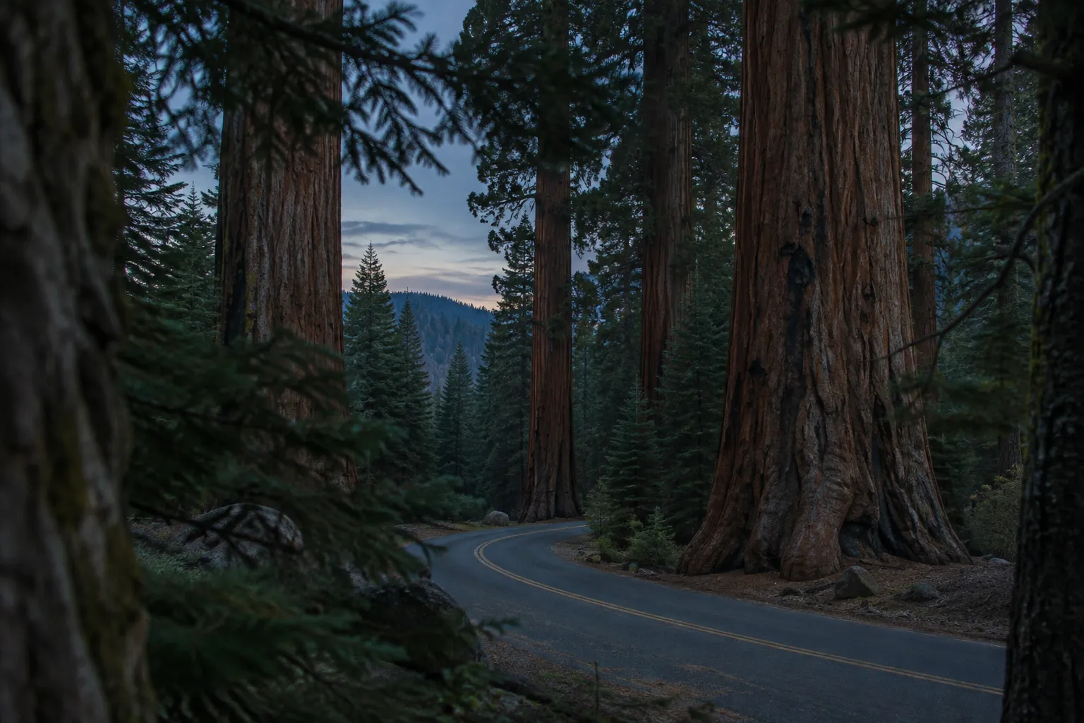
What to see once you cross over:
- Worth the detour: The General Grant Tree in Grant Grove, designated the “Nation’s Christmas Tree” in 1926 (9). It is the obvious counterpart to General Sherman and sits close to the highway.
- Worth it with a full extra day: The Kings Canyon Scenic Byway viewpoints (5) and Cedar Grove, added to the park in 1965 (9). The canyon floor is a separate trip, not an afternoon add-on. Highway 180 to Cedar Grove generally opens the fourth Friday in April and closes in mid-November (5), so plan it for spring through fall.
Can You Drive Across to Kings Canyon in Winter?
Often you can’t. The Generals Highway between Wuksachi Lodge and Grant Grove is unplowed and often closed from the Friday after January 1 to the third Friday in March (5). When it is closed, visiting both parks means driving back down to the foothills and around, usually on Highway 245 (5)(17), which turns a short connector into a long detour.
Storms can make it worse. In February 2026, weather closed the Generals Highway from Highway 180 all the way to Hospital Rock. That cut off access to Giant Forest and Lodgepole, and officials warned that popular areas could stay affected through the week (12).
Mineral King Road follows a separate calendar: it closed for the winter on October 28, 2026 (13). Don’t read its status as a signal about the main highway, or the reverse.
Frequently Asked Questions
- When is the best time to visit Sequoia if I want to see both parks in one trip?
- Late September through mid-October is a strong window for a two-park visit, with the connector open and warm days in the sequoia groves.
- How should I choose between Sequoia and Yosemite for a first Sierra trip?
- Choose Sequoia for giant trees and a slower, vehicle-based visit; choose Yosemite for waterfalls and granite walls, with more visitor traffic to plan around.
- What is the highest point in Sequoia, and can I reach it from Giant Forest?
- Mt. Whitney is Sequoia's highest point, but it lies on the remote eastern edge and is not a drive-up extension of a Giant Forest visit.
- How much of Sequoia can you see on a short visit?
- A short visit covers only a small part of the park; the main road reaches the groves, while much of the high country requires travel on foot.
- Which Indigenous peoples have ties to the Sequoia area?
- The National Park Service describes the parks as homelands of the Mono (Monache), Yokuts, Tübatulabal, Paiute and Western Shoshone peoples; Hospital Rock, once a village site, still has grinding mortars and pictographs.
- Can I rely on finding wildlife near the main visitor areas?
- Several hundred black bears live in the parks, and meadows are the usual place to glimpse one. Bears have damaged vehicles to get at food, so store food securely rather than leaving it accessible.
- Is a same-day Sequoia and Kings Canyon visit realistic in winter?
- Not reliably: when the Generals Highway connector closes, reaching the other park requires descending to the foothills and driving around.