Pocono Mountains fall foliage does not peak all at once, and that is the planning trick: the color moves through three elevation zones, the northern ridges around October 7, the central region October 17 to 21, the south a week later. Miss it in one zone and a 40-minute drive puts you back in time. Chase the official forecast, which updates every Thursday, and check it within a few days of leaving, not weeks out. For photos, I aim for the 35-to-60-percent window, before one windstorm strips the canopy.
Are the Pocono Mountains Fall Foliage Good for Viewing?
Yes - and the reason is the elevation spread. The region climbs from river valleys to ridgelines over 2,000 feet, and because color change tracks elevation and temperature, the leaves don’t all turn at once. That staggered turn is what makes the Poconos one of the more forgiving foliage destinations in the Northeast. Miss peak in one zone, drive 40 minutes, and you’re back in time.
I drove the northern-to-southern zone route in October 2024 and the stagger is real - the ridgeline near the northern zone was already past peak when the central Poconos were just hitting their stride. The Pocono Mountains have 127 indigenous species of trees, plants, and shrubs driving the color show each autumn (4). The mix matters: red maple and black gum throw deep crimson, sugar maple goes orange-gold, black birch and winged sumac shift earlier than the rest. That variety is why the foliage here reads as layered rather than a single wall of one color.
The elevation range is worth understanding before you plan. The northern zone sits on ridgelines that push past 2,000 feet - those trees are already stressed by cold nights in late September. The central zone, anchored around the Pocono Plateau, runs roughly 1,800 feet. The southern zone drops into the Lehigh Valley corridor, closer to 500-800 feet in places. That 1,200-foot spread between zones is what creates the staggered timing - it’s not just geography, it’s a reliable temperature differential that repeats every year. A cold snap compresses the gap; a warm October stretches it. Either way, the zones don’t peak simultaneously, which is the whole reason the three-zone map exists.
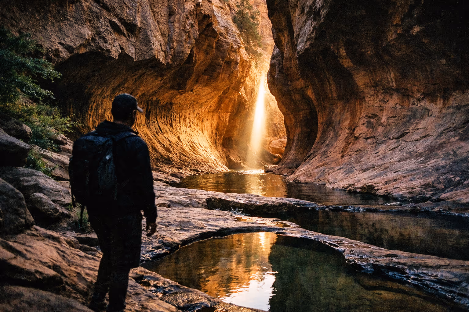
Gear note: if you’re hiking any of the ridge viewpoints, I’d recommend trail runners with a rock plate - the Altra Lone Peak 7 handled the wet leaf-covered rock at Big Pocono without the slipping I got from a softer-soled shoe the year before.
Safety: wet leaves on paved overlook paths and summit roads are genuinely slick in October. Treat them like ice on descents - slow down, short steps, and don’t trust the grip you’d expect on dry pavement. This is especially true at Big Pocono’s summit road after rain. Worth saying plainly because it’s easy to underestimate.
How the Fall Foliage Map Works
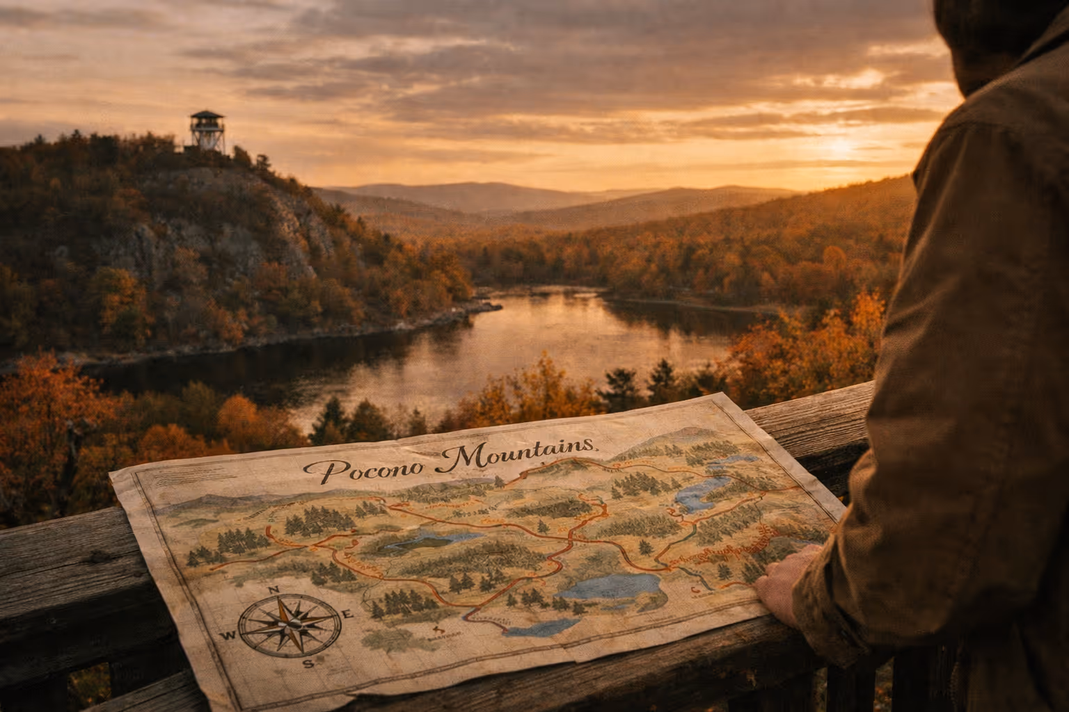
The Pocono Mountains fall foliage map divides the region into three color zones - northern, central, and southern - and assigns each a projected peak window (1)(4). Instead of one statewide “peak weekend,” you get three moving targets.
For the current season, the published peak estimates run roughly:
- Northern zone: around October 7
- Central zone: October 17-21
- Southern zone: the week of October 22 (1)
Read those as bands, not single days. The forecast updates weekly because a cold snap pulls color forward and a warm, wet stretch pushes it back - a peak window can move by 1-2 weeks in an off year (1)(4). In 2024, a warm stretch in late September pushed the central zone’s peak nearly 10 days later than the published estimate - the weekly update caught it; anyone who locked in dates in August missed it.
The map uses a green-to-yellow-to-orange-to-red progression that loosely tracks elevation. Higher and farther north turns first. If you only have one day, match your drive to whichever zone the current week’s map flags closest to peak rather than locking in dates months out.
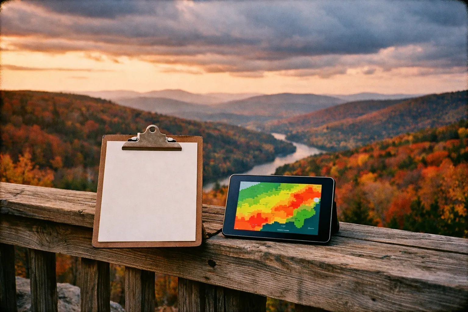
One thing worth knowing about map types: satellite-based maps show change across wide areas but can’t tell you how a specific overlook actually looks on the ground. Ground-reported maps - which the Pocono tourism bureau’s forecast relies on - are less geographically precise but better reflect what you’ll actually see from the car. For trip planning, the ground-reported forecast is the one to follow. The Pennsylvania Department of Conservation and Natural Resources (DCNR) publishes supporting phenology data that aligns with the bureau’s zone timing, which is why the three-zone structure holds up across multiple sources (1)(4).
The practical difference shows up when you’re deciding whether to drive. A satellite map might show 60% color change across a wide grid square, but that grid square includes a ridge, a valley, and a highway corridor - the ridge could be at full peak while the valley floor is still mostly green. The ground-reported forecast collapses that ambiguity into a single zone-level call, which is less precise but more actionable when you’re deciding whether to leave Friday night or Saturday morning.
Pocono Mountains Fall Foliage Forecast: When to Check and How Often
The official forecast page begins seasonal updates in early September, then refreshes every Thursday through the end of October (4). That cadence is the minimum planning rhythm. Check it once when you start thinking about the trip, then again within 24-72 hours of leaving.
If you’re already in the mountains and cell data is thin, the forecast is also available by phone at 570-421-5565 (4). Worth saving before you drive into a valley with no signal.
The forecast now reports in stages rather than a binary “peak / not peak.” Recent updates cite specifics like 35% full color with 90% of leaves still on the trees, then later 60% full color with 75% of leaves on (10). That granularity is actually useful: if you want the widest visual contrast for photos, aim for the 35-60% full-color window, when green, gold, and red overlap. Wait for full peak and you risk arriving after a windstorm has stripped half the canopy.
Common mistake: assuming the forecast week equals the single best day. Peak can land anywhere inside that 7-day band. Check close to departure and stay flexible on which zone you target.
When’s the Best Time to See Peak Fall Foliage in Pennsylvania?
For the Poconos specifically, the peak fall foliage Pennsylvania window spreads across all of October depending on zone - early October for the high northern country, mid-October for the central region, and late October down south (1)(4). There is no single statewide date.
If you’re picking one week blind with no forecast in hand, mid-October is the safest bet across the central Poconos and is also when Visit PA flags Big Pocono State Park as a prime viewing spot (7). But “safest blind bet” is exactly what the weekly forecast lets you avoid - check the map and you can do better than a calendar guess.
Is October a Good Time to Go to the Poconos?
October is the time to visit the Pocono Mountains for fall foliage. It’s when the color peaks, when the Jim Thorpe fall foliage festival runs, and when the scenic trains add their autumn schedules. The tradeoff is crowds: the same conditions that make October ideal pack the popular towns and overlooks, especially on weekends.
A few ways to work around it:
- Go midweek if you can. Weekday mornings at the overlooks are quieter, and parking actually exists.
- If you’re tied to a weekend, arrive early - before 9 a.m. at the busier viewpoints.
- Skip rush hour entirely. Crawling traffic makes for lousy leaf-peeping from a moving car.
The festival concentrates demand into a short Saturday-Sunday window, so Jim Thorpe in particular gets tight on parking during its event weekends (8).
Jim Thorpe Fall Foliage Festival
The Jim Thorpe fall foliage festival runs the first three weekends in October, from 10:00 a.m. to 5:00 p.m. on Saturdays and Sundays (8). For 2026, the listed dates are October 4-5, 11-12, and 18-19. Confirm against the official event page before you commit - weekend dates shift year to year.
Jim Thorpe itself is a solid base for a foliage weekend. The town sits in a river valley with ridges on either side, which means you get the color and a walkable downtown without much driving. Combine festival hours with a train ride and you’ve got a half-day built around one parking spot - which beats chasing overlooks in festival traffic.
Beginner approach: stay in or near Jim Thorpe, do the festival, do one rail excursion, skip the long drives. You’ll hit one of the region’s best-known foliage hubs without managing a multi-zone itinerary.
Jim Thorpe’s downtown is compact enough to walk in an hour, which matters when festival parking is tight. The main street runs along the base of the ridge, so you get color overhead without driving anywhere. If you’re coming from the Philadelphia side, the drive up Route 209 through the Lehigh Gorge corridor is itself worth the trip - the road follows the river for several miles and the canyon walls hold color longer than the open ridgelines above.
Poconos Fall Foliage Train Rides
A Poconos fall foliage train is the low-effort way to see color along a river corridor you can’t easily reach by car. Two main options:
Lehigh Gorge Scenic Railway (Jim Thorpe) runs roughly 70-minute round-trip rides on its regular schedule, with autumn excursions on a posted timetable (9). On the current source snapshot, the railway typically posts its regular schedule only a short window ahead - so check the live schedule for autumn dates before you build a trip around it. Don’t assume the foliage rides are running just because it’s October.
Stourbridge Line’s Pocono Foliage Express (Wayne County) is a longer ride - about a 1.5-hour round-trip covering 20 miles of scenery on select dates through late October (3). Ticket prices weren’t in the current source set, so confirm pricing and dates live before booking.
Both rides are short enough to treat as a timed anchor rather than a full day. Pair the 70-minute Lehigh Gorge ride with town time in Jim Thorpe, or the 90-minute Stourbridge ride with a stop nearby. For families, the shorter options keep the whole outing under two hours (3)(9).
Booking tip: these rides sell out on peak weekends. Reserve ahead, and double-check the schedule status close to your date.
Scenic Drives and Viewpoints
If you’d rather drive than take a train through the Poconos, a few anchors worth knowing:
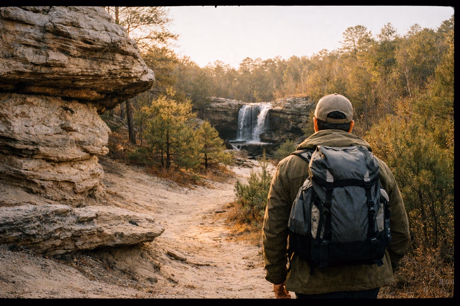
- Big Pocono State Park sits on Camelback Mountain with long ridge views. Visit PA lists its best viewing time as mid-October (7). The summit road gives you elevation without a hike, though it gets busy on clear weekends.
- The valley drives around Jim Thorpe put you in the river corridor where the color reads densest.
- For maximum payoff, combine a ridge view (Big Pocono) with a valley ride (Lehigh Gorge or the Stourbridge Line) in one itinerary - you get both elevation and river-corridor perspectives in the same day (7)(8).
Pull over often. Stopping to actually look beats trying to take it in at 45 mph, and the Poconos have plenty of pull-offs built for exactly that.
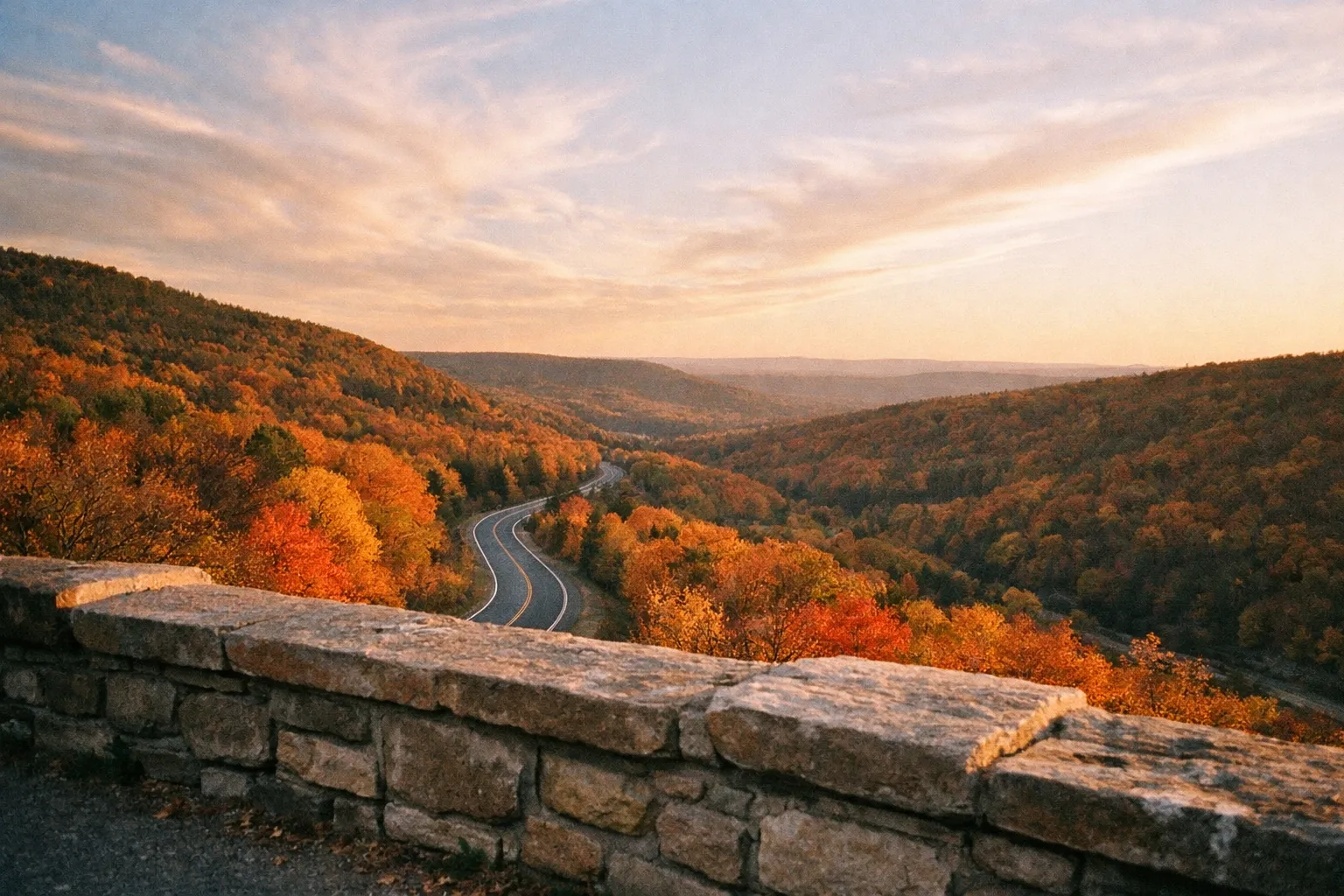
A few specific pull-offs worth knowing: the overlook on Route 611 near Bartonsville gives a wide valley view with minimal hiking required. The summit road at Big Pocono State Park has a designated parking area at the top - it’s a short walk from the lot to the ridge edge, and on a clear mid-October morning you can see color spreading across the plateau in both directions. If you’re running the north-to-south route, the stretch of Route 6 through Wayne County in the northern zone is one of the better driving corridors - low traffic, consistent canopy, and the color tends to be at or near peak in the first week of October (1)(4).
Advanced approach: use the three-zone map to run a north-to-south route over 2-4 days. Start in the northern zone near its early-October peak, then chase the central and southern zones as they turn over the following weeks (1)(4). It’s the only realistic way to see multiple peak windows in a single trip. If you enjoy planning multi-viewpoint itineraries, the same logic applies to destinations like the things to do at the Great Smoky Mountains, where elevation-driven staggered color creates a similar zone-by-zone opportunity.
Budget approach: the forecast map is free, and public viewing areas like Big Pocono State Park cost nothing beyond gas (4)(7). Skip the paid rail and festival tickets and you can do a full foliage day for the price of a tank.
✓ Pros
- Staggered peak times across three zones allow multiple viewing opportunities in one trip
- Wide elevation range creates layered and varied foliage colors
- Free public viewing areas like Big Pocono State Park reduce costs
- Short scenic train rides offer easy access to river corridor views
✗ Cons
- Crowds and parking issues during festival weekends, especially in Jim Thorpe
- Foliage peak timing can shift week to week, requiring flexible planning
- Train schedules for foliage rides may not cover full autumn season
- Traffic congestion can reduce enjoyment if traveling during rush hours
Common Mistakes to Avoid
- Treating “October” as a guaranteed peak. Peak windows spread across early, mid-, and late October by zone. Check the weekly forecast (1)(4).
- Assuming the whole region turns together. The official guide splits it into three zones with different timing - Jim Thorpe is not the same as the northern ridges (1)(4).
- Booking a train without checking schedule status. The Lehigh Gorge regular schedule is often posted only a few weeks ahead; autumn dates need separate confirmation.
- Waiting until travel weekend to check conditions. A cold snap or windstorm can shift peak by several days. Check 24-72 hours out (1)(4).
- Underestimating festival weekend congestion. The first three October weekends concentrate crowds into Jim Thorpe’s tight downtown (8).
What Week Is Best for Fall Foliage?
In the Pocono Mountains, the answer depends on which color zone you’re targeting:
- Northern zone: the week around October 7 (1)
- Central zone: October 17-21 (1)
- Southern zone: the week of October 22 (1)
If you can only commit to one week and want the broadest odds across the central Poconos, mid-October is the call (7). But the whole point of the weekly forecast is that you don’t have to guess - check the map the Thursday before you travel and pick the zone closest to peak (4).
Frequently Asked Questions
Frequently Asked Questions
- Can I rely on satellite maps for accurate fall foliage colors?
- Satellite maps show broad color changes but lack ground-level accuracy; ground-reported maps better reflect actual viewing conditions.
- How far in advance should I book scenic train rides?
- Book scenic train rides well ahead of peak weekends to avoid sellouts and confirm schedules close to your travel dates.
- Is it safe to assume October weekends are always peak foliage?
- No, peak foliage can shift week to week; check the weekly forecast within 24-72 hours of your trip for accurate timing.
- What's the best strategy to avoid crowds during the Jim Thorpe festival?
- Visit midweek or arrive before 9 a.m. on weekends to avoid heavy parking and traffic congestion.
- Are there free places to view fall foliage without paying for tours or festivals?
- Yes, public areas like Big Pocono State Park offer free access to quality foliage views.
- How does elevation affect the timing of fall colors in the Poconos?
- Higher elevations and northern zones turn colors earlier due to cooler temperatures compared to southern valleys.
Plan It Around the Forecast
The Poconos reward planning more than most foliage trips because the color moves zone by zone and week by week. Bookmark the official forecast, which begins updating in early September and refreshes every Thursday through the end of October (4). Check it once early, again within a few days of leaving, and pick your zone off the latest map.
Lock in a train ride if you want one - but verify the autumn schedule first. Then keep your dates flexible enough to follow the color instead of fighting it. That’s the whole game here.
One last thing: the forecast is only useful if you actually use it close to your travel date. I’ve talked to people who checked it in August, locked in a Columbus Day weekend, and showed up to find the central zone had already peaked four days earlier after an early cold snap. The weekly Thursday update exists for exactly that reason - it’s not a planning curiosity, it’s the tool that separates a good foliage trip from a missed one. Check it Thursday before you leave. Adjust if the map tells you to. The northern zone is a 40-minute drive from the central zone - that flexibility is the whole advantage of the Poconos over a single-destination foliage trip. Building a longer Pennsylvania loop? Cherry Springs State Park is a worthwhile northern detour for its famously dark night skies.