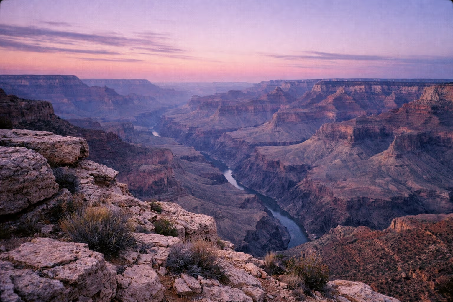
The Grand Canyon runs 277 miles (446 km) along the Colorado River, and most visitors see maybe two of them. Finding the best things to do at Grand Canyon can be a challenge, but those who plan well are richly rewarded. This guide splits the park into three usable pillars - rim views, trails, and scenic drives - across both rims, and flags the 2026 North Rim status - Grand Canyon Lodge destroyed by the 2025 Dragon Bravo Fire, Bright Angel Point Trail still closed, campground reopened - upfront so you plan around what’s actually open, not what a two-year-old blog post says.
Here’s the honest version of what you’re choosing between, and how to not waste a day standing in a parking lot with 400 other people.
✓ Pros
- Two distinct rims with completely different characters - the busy, accessible South Rim and the quiet, forested North Rim
- Over 130 trails, from flat paved rim walks to multi-day backcountry routes
- A free shuttle system that removes the parking headache on Hermit Road
- Scenic drives that cover enormous canyon variety without a single step of hiking
- The South Rim is open year-round
✗ Cons
- Inner-canyon hikes are far more brutal in summer heat than they look from the top
- The North Rim closes seasonally (roughly mid-May to mid-October) and, after the 2025 Dragon Bravo Fire, runs with no lodge and limited services in 2026
- Hermit Road is closed to private vehicles March through November
- Backcountry permits and popular campgrounds require advance planning, often months out
- Crowds at the marquee South Rim viewpoints can flatten the experience if you don't have a strategy
South Rim vs. North Rim - Choosing Your Base
The South Rim is the default choice for a first visit: open year-round, closer to major airports, and backed by the park’s most developed infrastructure. The National Park Service confirms the South Rim operates all year, while the North Rim runs a full season from May 15 through October 15, with only limited day-use access afterward until snow closes Highway 67 (1).
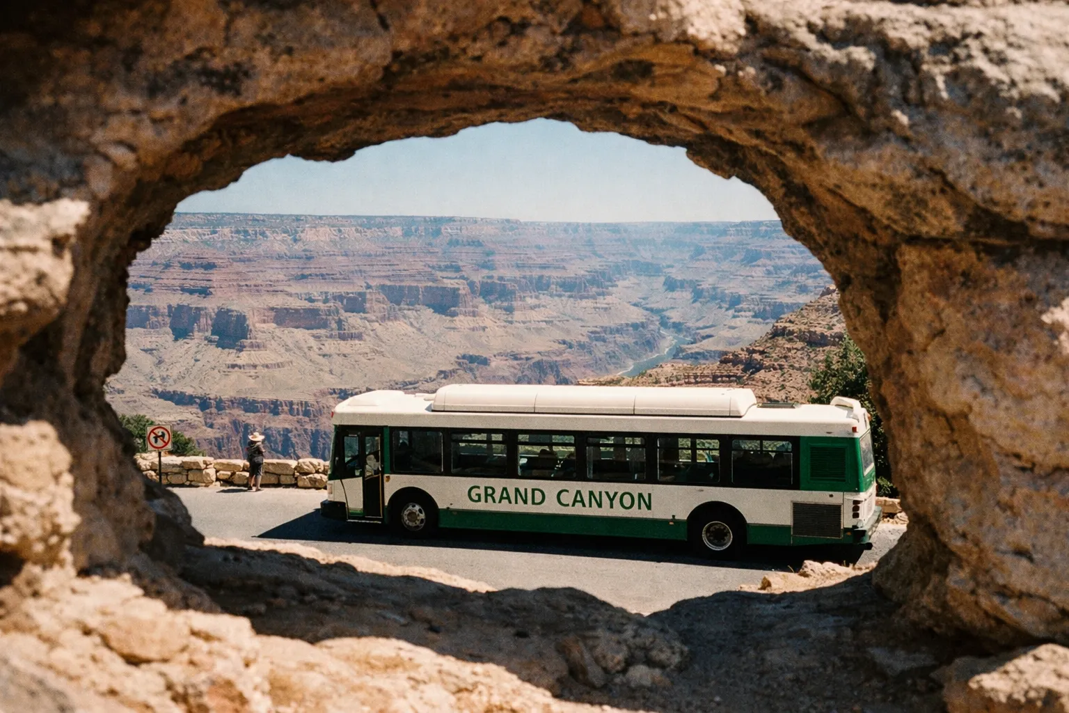
The South Rim sits about 4 hours from Phoenix and 5 hours from Las Vegas, reached by multiple highways. That accessibility is why it absorbs the bulk of the park’s visitors - it’s busier, but you get shuttles, lodging, a large visitor center, and viewpoints strung along a walkable rim.
The North Rim is a different animal. It sits higher, wrapped in ponderosa pine forest, and gets a fraction of the traffic. It’s reached solely via Highway 67, a single 45-mile spur road from Jacob Lake - which is a big part of why crowds thin out and services stay minimal. From this side the canyon looks wider and more layered than the sheer drama you get from the South Rim edge.
Two 2025-specific closures matter before you commit to the North Rim. The North Rim Campground reopened June 1, 2026, but the Bright Angel Point Trail - the classic short rim stroll near the former lodge - remains closed for 2026 after the Dragon Bravo Fire; verify current dates on NPS or Grand Canyon Conservancy notices. The paved roads, including Highway 67, Cape Royal Road, and Point Imperial Road, have reopened.
First-timers and off-season travelers should base on the South Rim. Repeat visitors, or anyone chasing fewer people and cooler forest air, should aim for the North Rim when it’s open - and confirm current dates before driving six hours.
South Rim vs. North Rim
| South Rim | North Rim | |
|---|---|---|
| Open Season | Year-round | ~May 15-Oct 15 |
| Distance from Las Vegas | about 5 hours | ~<5 hours |
| Distance from Phoenix | about 4 hours | about 6 hours |
| Crowds | High | Low-moderate |
| Campground (2026) | Available | Reopened June 1, 2026 |
| Signature Viewpoints | Mather Point, Hopi Point, Desert View | Cape Royal, Point Imperial, Roosevelt Point |
| Scenic Drive Length | Hermit Road (7 mi) + Desert View Drive (23 mi) | Cape Royal/Point Imperial (about 46 mi round-trip) |
| Bright Angel Point Trail | N/A | Closed 2026 (fire damage) |
| Shuttle Access | ✓ | ✗ |
Things to Do at the Grand Canyon for First-Timers: South Rim Viewpoints
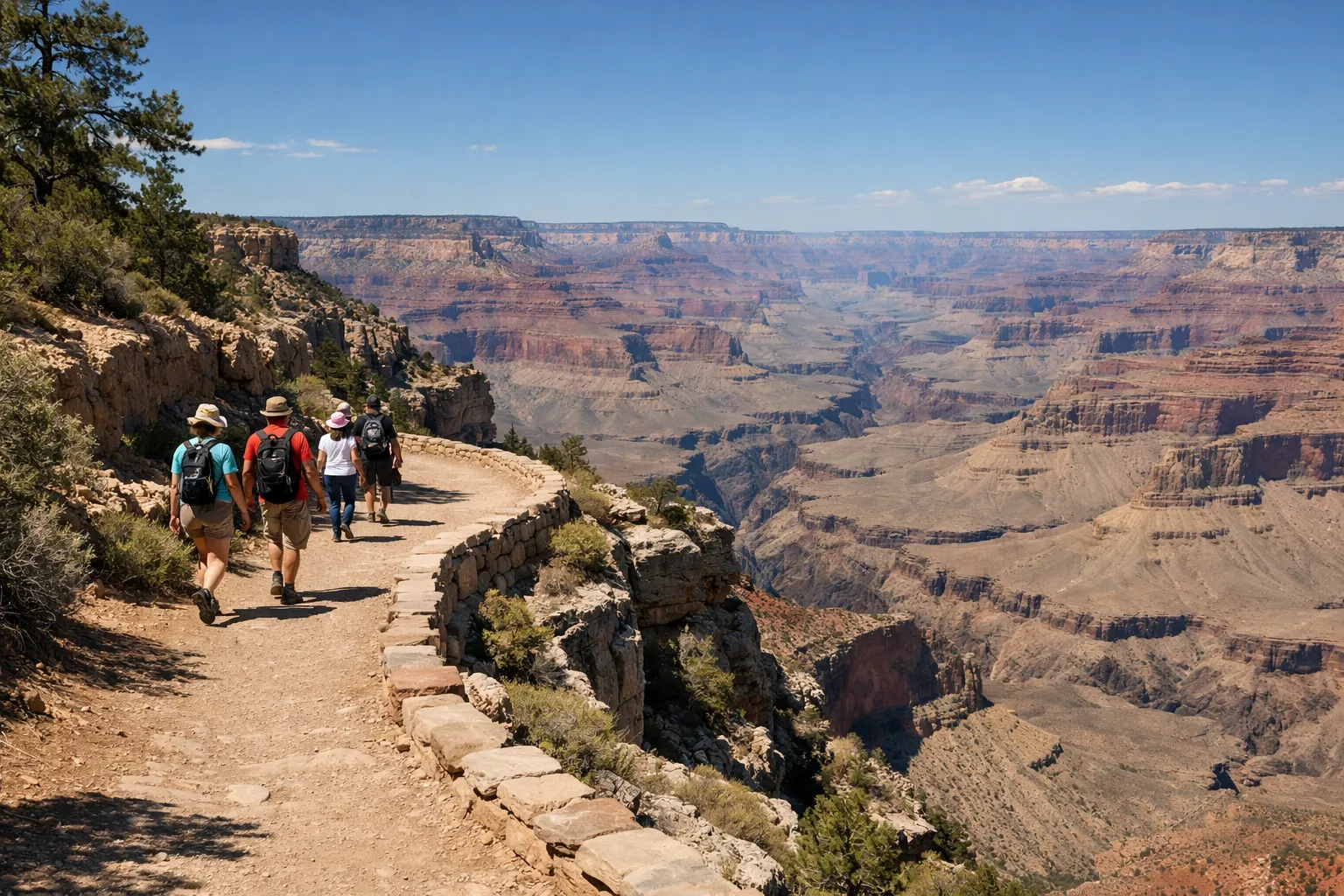
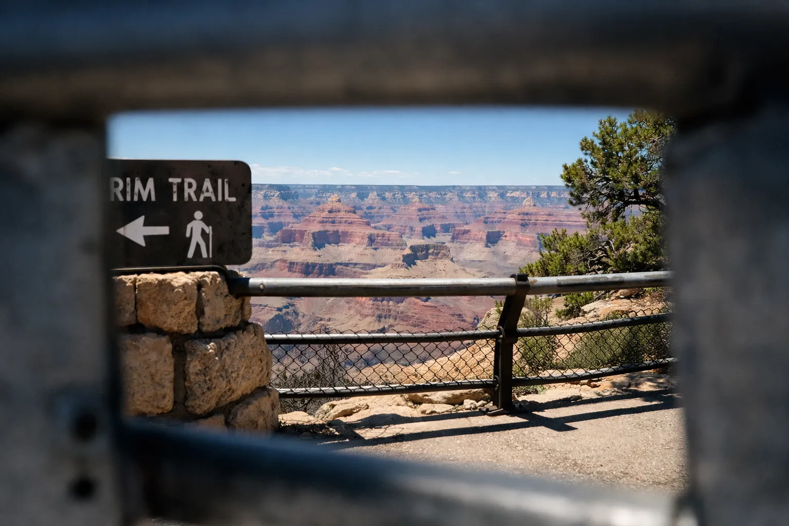
For a first visit, the highest-value things to do at Grand Canyon are the South Rim viewpoints - Mather Point, Yavapai Point, and Hopi Point - linked by short segments of the Rim Trail rather than a series of parking-lot stops. The National Park Service describes the Rim Trail as roughly 13 miles (21 km) long, mostly flat and partly paved, running from the South Kaibab Trailhead through Grand Canyon Village toward Hermits Rest (2). You don’t walk the whole thing. You walk pieces of it, and that’s the trick most visitors miss.
Mather Point - Where to Start and When to Leave
Mather Point is the closest major viewpoint to the main Visitor Center and shuttle hub, which makes it the first canyon view for nearly everyone arriving on the South Rim (3). The payoff is real - views stretch roughly 60 miles westward - and so is the crowd. This is the most photographed spot in the park, and in summer the railing is three deep.
Start here anyway. Get your first look, take the photo, then leave. Walk 0.5 to 1 mile in either direction along the Rim Trail and the crowd density drops noticeably. Same canyon, same sightlines, a tenth of the people.
Yavapai Point sits about 0.7 miles (1.1 km) west along the paved Rim Trail and connects directly to the Yavapai Geology Museum. The museum explains the rock layers you’re staring at, which turns a pretty view into something you actually understand. Good for families, good for anyone who wants context before they hike below the rim.
The Trail of Time runs along this same corridor. The NPS describes it as an interpretive segment of the Rim Trail between Yavapai Point and Grand Canyon Village, about 1.3 miles (2.1 km), with markers letting you walk through roughly 2 billion years of canyon history without descending an inch. Educational without being strenuous - the right add-on for a family or a slow morning.
Hopi Point and the Rim Trail Sunset Strategy
Hopi Point is the best sunset viewpoint on the South Rim, singled out by rangers for its broad, unobstructed west-facing views over multiple bends of the Colorado River (5). It sits on Hermit Road, so during the March-November closure you reach it by the Hermits Rest (Red) Route shuttle, not by car.
The strategy is simple: ride the shuttle out in the late afternoon, get to Hopi Point 30 to 45 minutes before sunset to claim a spot on the rim, and accept that everyone else has the same idea. The shuttle back after dark runs frequently but fills up fast. If you’d rather trade the marquee spot for elbow room, Mohave Point one stop along gives you nearly the same western exposure with noticeably fewer people.
Hermit Road - Seven Miles of Overlooks Without a Car
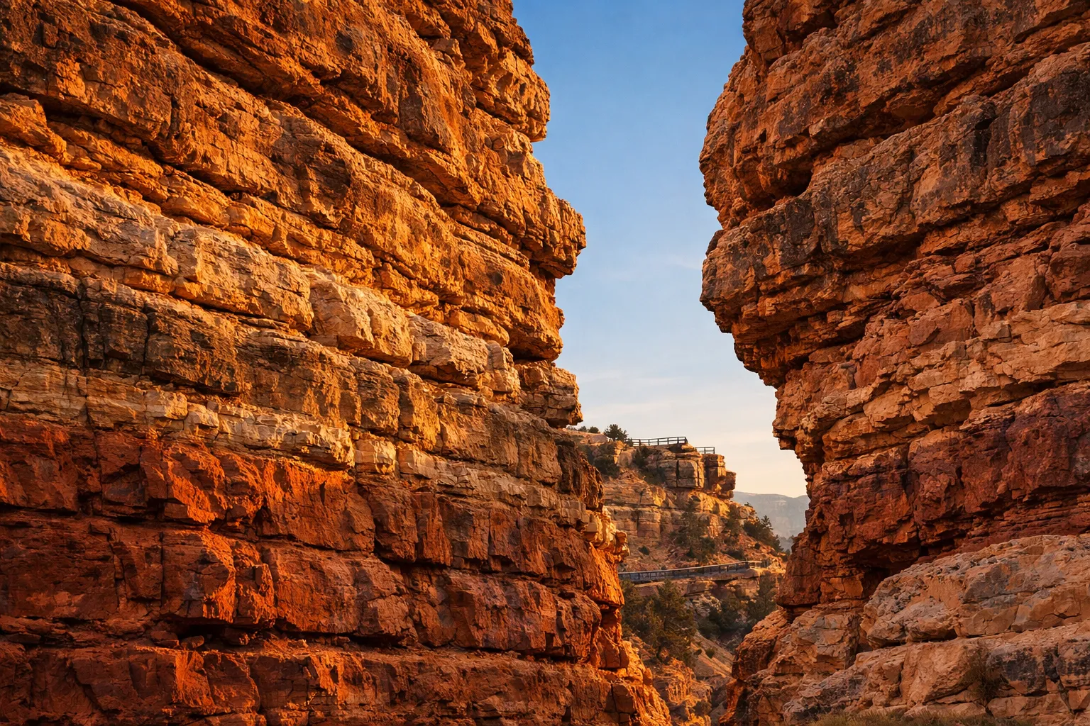
Hermit Road is a 7-mile (11 km) scenic corridor with nine designated overlooks, and it’s closed to private vehicles from March 1 through November 30 - a detail that catches thousands of visitors off guard every year (NPS Hermit Road overview). During that window you have three ways to see it: the free shuttle, walking the parallel Rim Trail, or renting a bike.
Using the Shuttle System Strategically
The Hermits Rest (Red) Route shuttle runs frequently from Grand Canyon Village out to Hermits Rest, stopping at overlooks along the way. Riding to every stop and back is the passive option. The better move combines the shuttle with the Rim Trail, which runs parallel to the road.
Ride out to a mid-route overlook like Mohave Point or Pima Point, walk 1 to 2 miles east along the Rim Trail between overlooks, and shuttle back when you’ve had enough. You get the panoramic drive and the on-foot perspective without committing to a long continuous hike. The nine official overlooks include Trailview Overlook (with views straight down onto the Bright Angel Trail switchbacks), Hopi Point (sunset), Mohave Point, The Abyss - which drops nearly 3,000 feet (about 900 m) of sheer rim-to-canyon vertical - Pima Point, where you can sometimes hear the Colorado River far below on a quiet day, and Hermits Rest, the Mary Colter-designed stone building at the end of the road.
Biking Hermit Road - What to Know Before You Rent
Bright Angel Bicycles, based near the Visitor Center, rents standard bikes and e-bikes for use on Hermit Road, letting riders stop at all nine overlooks plus the unnamed pullouts the shuttle skips (NPS bicycling information). A bike gives you flexibility the shuttle can’t - you stop where you want, for as long as you want, and you’re often clear of the shuttle crowds.
Two things to know before you rent. First, the road is shared with shuttle buses, so you pull over and let them pass on the narrow stretches. Second, if you’d rather not fight the wind or the mild grades, the e-bike is worth the upgrade over a cruiser for a 14-mile round trip. There’s also a calendar quirk worth knowing: from December through February, private vehicles are allowed back on Hermit Road (NPS bicycling information). That winter window is a quieter, drive-it-yourself experience most guides never mention.
Desert View Drive - The South Rim’s 23-Mile Canyon Corridor
Desert View Drive is the one South Rim scenic drive open to private vehicles year-round, running 23 miles (37 km) from Grand Canyon Village to the East Entrance at Desert View (6). Unlike Hermit Road, there’s no seasonal closure and no shuttle requirement - you drive it yourself, on your own schedule.
Distances and drive lengths for Grand Canyon rims: 277 miles canyon length; Hermit Road 7 miles; Desert View Drive 23 miles; Cape Royal Road 46 miles; Point Imperial 11 miles; North Kaibab Trail 14 miles.
The NPS lists six developed viewpoints along the route, plus picnic areas and several unmarked pullouts (7). Running west to east: Pipe Creek Vista, Moran Point, Grandview Point, Lipan Point, Navajo Point, and Desert View. Give it a full half-day minimum. Starting late is a classic mistake here - a 23-mile drive with six stops eats hours, and you don’t want to be driving back on unfamiliar canyon roads after dark.
Grandview Point and Lipan Point - The Geology Stops
Grandview Point sits at about 7,399 feet (2,256 m), one of the highest overlooks on the South Rim, and serves as the trailhead for the historic Grandview Trail - one of the steepest South Rim routes, with visible remnants of mining-era construction (NPS Grandview Point information). You can walk a short segment of the Grandview Trail for a taste of inner-canyon terrain without committing to a full descent. Just remember: the climb back is the hard part, and you should turn around earlier than feels necessary.
Lipan Point, at roughly 7,360 feet, is the geology payoff of the whole drive. From here you can spot Hance Rapid on the Colorado River and pick out the tilted layers of the Grand Canyon Supergroup - rock strata you can’t see clearly from most other overlooks. It’s one of the best places on the route to actually read the canyon rather than just photograph it.
Desert View Watchtower - Sunrise and the Eastern End
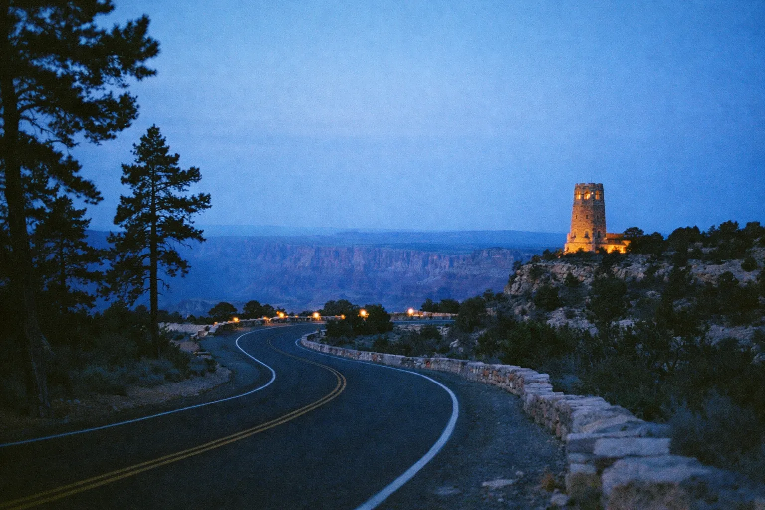
The Desert View Watchtower anchors the eastern terminus of the drive. Designed by architect Mary Colter, the stone tower stands 70 feet (21 m) tall and offers 360-degree panoramic views of the canyon and the Colorado River (NPS architecture notes). It’s worth the climb, and it makes a strong sunrise spot if you’re staying near the East Entrance.
Just along the drive, the Tusayan Pueblo and Museum preserves a small ancestral Puebloan ruin site, free to visit, adding cultural depth without a detour. Pair it with the Watchtower and you’ve covered the canyon’s human history alongside its geology in a single stop.
South Rim Trails - From Easy Rim Walks to Inner-Canyon Hikes
South Rim trails split cleanly into two categories: flat rim-level walks almost anyone can do, and inner-canyon descents that require real preparation. Confusing the two is how people get into trouble. The NPS is blunt about it: summer temperatures along inner-canyon trails can exceed 100°F (38°C) near the river, and the temperature difference between rim and river can be 30°F or more (NPS hiking safety guidance).
Rim Trail - The 13-Mile Walk You Can Do in Pieces
The Rim Trail runs roughly 13 miles (21 km) from the South Kaibab Trailhead to Hermits Rest, mostly level with partial paving (8). This is the right choice for families, casual walkers, and anyone with limited time. You never have to walk the full distance - shuttle stops along the way let you drop in and out, covering whatever segment suits you.
The half-mile stretch on either side of Mather Point is the single best return on effort in the whole park: minimal exertion, immediate crowd relief, unbroken views. Even so, this is still a desert environment. NPS safety guidance notes that dehydration and heat illness happen even on the flat Rim Trail in summer because people underestimate how exposed and dry it is - carry water, wear a hat, use sunscreen.
Bright Angel Trail - Turnaround Points and What They Actually Require
Bright Angel Trail is the classic South Rim descent, running about 9.5 miles (15.3 km) one way to Bright Angel Campground at the Colorado River, with Havasupai Gardens (formerly Indian Garden) about 4.6 to 4.9 miles below the rim (NPS Bright Angel Trail information). The 10-mile round trip to Havasupai Gardens is a serious day hike - not a casual add-on. It requires an early start, 2 to 3 liters of water per person, sun protection, and genuine fitness.
The trail descends steeply via switchbacks and is shared with mule riders, so you yield to the mules. Camping at Havasupai Gardens or Bright Angel Campground requires an advance backcountry permit - Havasupai Gardens has 15 small group sites and 1 large group site, and these are not same-day walk-ups (NPS Bright Angel Trail map). Plan months ahead if an overnight is the goal.
South Kaibab Trail - Best Short Segments for Day Hikers
South Kaibab is shorter, steeper, and has no water anywhere on it, which makes turnaround discipline essential. Two segments work well for day hikers: Ooh Aah Point, about 0.9 miles from the trailhead (roughly 1.8 miles round trip), and Cedar Ridge, about 1.5 miles one way (around 3 miles round trip), both on an exposed ridge with wide-open views in every direction (NPS South Kaibab Trail information).
Don’t attempt either in summer midday. The ridge offers no shade and no water, and the climb out is where people get into trouble. Which brings up the rule the NPS repeats and inner-canyon hikers keep ignoring: down is optional, up is mandatory. Descending feels easy and fools you into going too far. The climb back, in heat, is where the emergencies happen. If you want to reach the river, plan a multi-day permitted trip - not a heroic single day.
North Rim Scenic Drives - Cape Royal, Point Imperial, and the Quieter Side
The North Rim’s two scenic drives - Point Imperial and Cape Royal - deliver higher-elevation, less-crowded canyon views through ponderosa pine forest, and both run on paved roads that reopened for the 2026 season on May 15. Before you plan, note the fire recovery: the North Rim Campground reopened June 1, 2026, but the Bright Angel Point Trail remains closed for 2026 after the Dragon Bravo Fire - verify current dates on NPS or Grand Canyon Conservancy notices. Highway 67, Cape Royal Road, and Point Imperial Road are all open.
The North Rim runs its full season May 15 through October 15, with services shutting down afterward as snow moves in (GrandCanyon.com North Rim overview). Plan within that window, and verify current-year status before committing to the drive.
Point Imperial - Highest Views on Either Rim
Point Imperial is about 11 miles one way from the North Rim visitor area and is the highest viewpoint on either rim, with expansive views over Marble Canyon and the Painted Desert (GrandCanyon.com North Rim overview). Figure 20 to 45 minutes of driving each way depending on how often you stop.
Go here first, in the morning, when the light works in your favor over Marble Canyon and the eastern desert. It’s a natural opening move before you commit the rest of the day to the longer Cape Royal route.
Cape Royal Road - Angels Window and the Full Loop
Cape Royal Road runs roughly 23 miles each way from the main North Rim developed area, with signed stops including Vista Encantada, Roosevelt Point, Walhalla Overlook, and Angels Window - a natural rock arch that frames a slice of canyon and, on clear days, the Colorado River far below (GrandCanyon.com North Rim overview). Allow a full day for the complete drive with stops.
The efficient loop strategy: drive to Point Imperial first for morning light, then work down Cape Royal Road through the signed overlooks, and aim to be back by sunset. Walhalla Overlook has Ancestral Puebloan ruins nearby, which adds a cultural layer to a day that’s otherwise all geology and forest. Angels Window is the photograph everyone comes for - worth the stop, and worth arriving before midday when the light flattens.
North Rim Trails - Day Hikes When the Rim Is Open
The North Kaibab Trail is the only maintained corridor trail from the North Rim to the Colorado River, and at about 14 miles (22.5 km) one way it is emphatically not a day hike (NPS North Kaibab Trail information). A rim-to-river-and-back attempt from this side is unrealistic in a single day - treat it as a multi-day, permitted trip or don’t do it at all.
North Kaibab Trail - Turnaround Points for Day Visitors
For day visitors, two turnarounds work. Coconino Overlook sits about 0.75 miles below the trailhead (roughly 1.5 miles round trip), a short, manageable hike with good canyon views for most people (NPS North Kaibab Trail information). Supai Tunnel is about 2 miles below the rim (around 4 miles round trip), with seasonal potable water at the tunnel area - more strenuous, but rewarding with deeper canyon perspective and some shade (NPS North Kaibab Trail information).
The North Rim sits higher and runs cooler than the South, but that doesn’t exempt you from the basics: 2 to 3 liters of water per person for any descent, and an early start. Note that the Bright Angel Point Trail - the classic short rim stroll near the former Grand Canyon Lodge - remains closed for 2026 after the Dragon Bravo Fire (Grand Canyon Conservancy North Rim 2026 FAQ), so the easiest North Rim rim walk is off the table this season. The Transept Trail, a relatively flat route connecting the lodge area to the campground, is also closed from fire impacts - worth noting for future visits once it reopens.
What Not to Do at the Grand Canyon - Mistakes That Ruin the Trip
The single most dangerous mistake at the Grand Canyon is attempting to hike from the rim to the river and back in one summer day. The NPS explicitly warns against it, noting that many rescues involve hikers who underestimate the elevation change, distance, and extreme heat (NPS hiking safety guidance). If you want to reach the river, it’s a multi-day permitted trip - full stop.
Most guides bury this next point or skip it entirely: Hermit Road is closed to private vehicles for nine months of the year. That’s not a peak-season quirk - it’s the default state of the road from March through November. Plan around the shuttle from the start, not as a fallback.
The other recurring mistakes are more mundane but still ruin days:
- Showing up at Hermit Road with a private vehicle in peak season. It’s closed to cars March 1 through November 30 (NPS Hermit Road information). Use the shuttle, walk, or rent a bike - don’t drive out expecting to park.
- Starting Desert View Drive or the North Rim loop too late. These are 23-mile and roughly 46-mile round-trip drives with multiple stops. They need a morning start. Driving back in the dark on unfamiliar canyon roads is entirely avoidable.
- Skipping water on “easy” rim walks. Even the flat Rim Trail in summer requires water, a hat, and sunscreen - dehydration is common here precisely because people assume flat means safe (NPS hiking safety guidance). Watch kids and older adults especially.
- Assuming the North Rim is open. The seasonal closure runs roughly mid-May to mid-October, and after the 2025 Dragon Bravo Fire the 2026 season runs with no lodge, limited services, and the Bright Angel Point Trail closed - verify current status on the NPS site before driving six hours (NPS North Rim status page).
- Leaving permits and campground reservations to chance. Bright Angel Campground, Havasupai Gardens, and the North Rim Campground (when open) require advance planning - sometimes months out. There is no day-of shortcut.
I’ve watched people make every one of these mistakes at the South Rim - the Hermit Road one especially. A family pulls up in a rental car in July, realizes the road is shuttle-only, and spends 20 minutes trying to figure out where to park before giving up and driving back to Mather Point. Don’t be that family.
Practical Planning - Access, Seasons, and What to Pack
The park entry fee is the main cost of a Grand Canyon visit; once inside, nearly everything worth doing is free. The National Park Service charges a per-vehicle entrance fee - $35 per private vehicle, per the National Park Service Grand Canyon fees page - valid for seven consecutive days and covering both the South and North Rims (NPS fees information). Confirm the current figure on the NPS site before you go, since fees change.
Seasonally, the South Rim is open year-round and the North Rim runs May 15 through October 15, with day-use only possible until roughly November 30 depending on weather (GrandCanyon.com North Rim overview). Getting there: the South Rim is about 4 hours from Phoenix and 5 hours from Las Vegas; the North Rim is about 6 hours from Phoenix and under 5 from Las Vegas. If you are building a wider Southwest loop, Zion National Park sits within a few hours’ drive of the North Rim and pairs naturally with a Grand Canyon trip.
The best month to visit the South Rim is May - crowds are lighter than summer, temperatures at the rim are comfortable (mid-60s to low 70s°F), and inner-canyon hikes are still viable before the heat shuts them down. September is a close second for the same reasons, with the added bonus that the North Rim is still open. Avoid July and August for any inner-canyon hiking; the rim viewpoints are fine, but the trails below become genuinely dangerous by mid-morning.
For packing, the NPS recommends at least 2 to 3 liters of water per person for any inner-canyon hike, sturdy footwear, sun protection, and layers - temperatures can differ by 30°F or more between rim and river, and swing sharply between day and night (NPS hiking safety guidance). Bring sturdy shoes even for rim walks, since the paved surfaces are uneven in places, and download offline maps because cell service is unreliable across the park.
The South Rim shuttle buses are free and run on multiple routes, including the Hermits Rest (Red) Route that serves the Hermit Road overlooks during the closed-to-vehicles period (NPS shuttle guide). Using them removes the parking stress that otherwise defines a peak-season visit.
What You Can See and Do Without Paying Extra
Once you’ve paid the entrance fee, the vast majority of activities in this guide cost nothing more. NPS visitor information confirms that rim walks, shuttle buses, scenic drives like Hermit Road and Desert View Drive, ranger-led programs, and sites such as the Tusayan Pueblo and Museum are all free once inside (NPS things-to-do information). That covers essentially everything: the Rim Trail, every viewpoint, all nine Hermit Road overlooks via shuttle, the Trail of Time, Desert View Drive, and the North Rim scenic roads when open. The entry fee is the cost; the canyon itself is free to walk.
How to Plan a Half-Day South Rim Visit
4 hoursA step-by-step itinerary to cover key South Rim highlights efficiently
- 1
Arrive at the Visitor Center by 8 a.m.
Pick up a park map and check the day's ranger program schedule. The Visitor Center is the hub for shuttle routes.
- 2
Walk or shuttle to Mather Point
Get your first canyon view at Mather Point, the closest major viewpoint to the Visitor Center.
- 3
Walk west along the Rim Trail to Yavapai Point
Cover about 0.7 miles and visit the Yavapai Geology Museum for context on the canyon's rock layers.
- 4
Take the Hermits Rest shuttle to Mohave or Pima Point
Ride the shuttle to a mid-route overlook for panoramic views.
- 5
Walk 1-2 miles back east along the Rim Trail
Enjoy the views on foot between overlooks, then shuttle back if tired.
- 6
Ride the Hermit Road shuttle to Hopi Point for sunset
Arrive 30 to 45 minutes early to claim a good spot for sunset views.
- 7
Optional: Drive Desert View Drive the next morning
If time allows, explore Desert View Drive before leaving the park.
Frequently Asked Questions
Frequently Asked Questions
- What part of the Grand Canyon can you see for free?
- After paying the park entry fee, all viewpoints, trails, shuttle rides, and scenic drives in the park are free to access.
- Can I see the Grand Canyon without paying the entry fee?
- No. The national park requires an entry fee; free views are only from outside park boundaries or on designated fee-free days.
- What free activities can you do for fun at the Grand Canyon?
- Walking rim trails, riding free shuttles, visiting viewpoints, hiking trails, driving scenic routes, attending ranger programs, and visiting Tusayan Pueblo.
- What should you not do at the Grand Canyon?
- Avoid hiking rim-to-river-and-back in one day, driving Hermit Road during closure, skipping water on walks, and assuming the North Rim is open without checking.
- How long do you need at the Grand Canyon?
- Half a day covers South Rim highlights; a full day adds Desert View Drive; two days or more lets you explore both rims or deeper hikes.
- Is the North Rim open in 2026?
- Yes - the North Rim reopened for the 2026 season on May 15, and the North Rim Campground reopened June 1. But the 2025 Dragon Bravo Fire destroyed Grand Canyon Lodge (no in-park lodging, limited services), and the Bright Angel Point Trail remains closed - verify current status before visiting.
The Bottom Line
Three decisions determine how your Grand Canyon trip goes: which rim, which type of activity, and how much time you have. First-timers and off-season travelers base on the South Rim and build a day around Mather Point, a piece of the Rim Trail, Hermit Road by shuttle, and Hopi Point at sunset. Repeat visitors chasing quiet head for the North Rim during its short season and drive Point Imperial and Cape Royal. Anyone with more than a day adds Desert View Drive.
The two mistakes that wreck trips are the same ones people make every summer: underestimating inner-canyon hikes and not checking closures before arrival. Down is optional, up is mandatory - respect that, and carry water even on the flat walks. Before you drive, check the NPS website for real-time status on the North Rim Campground, the Bright Angel Point Trail, and shuttle schedules, since those change year to year.
The canyon rewards the people who walk a little further from the parking lot. Half a mile in either direction is all it takes.