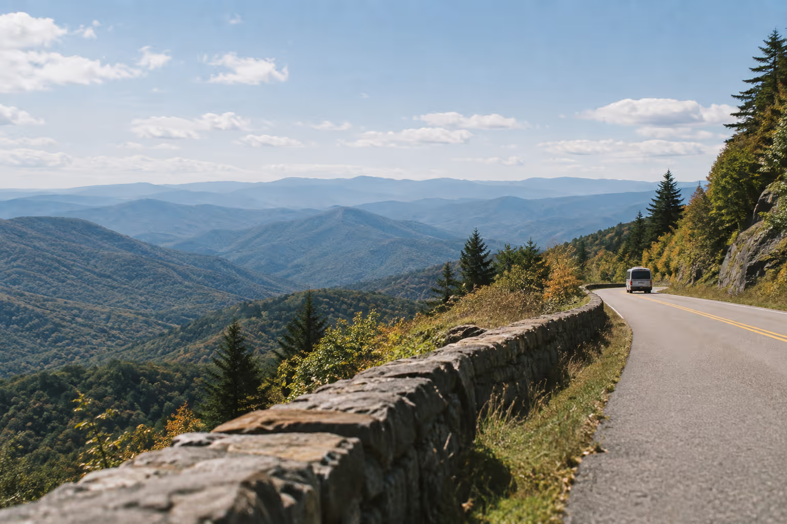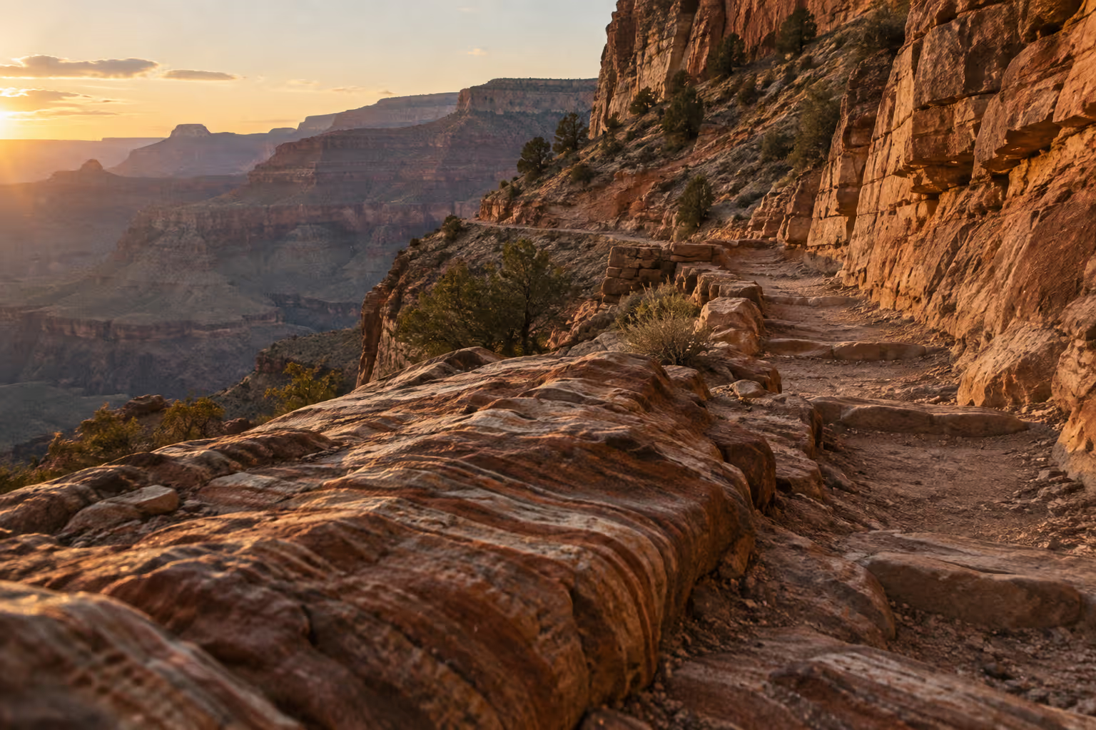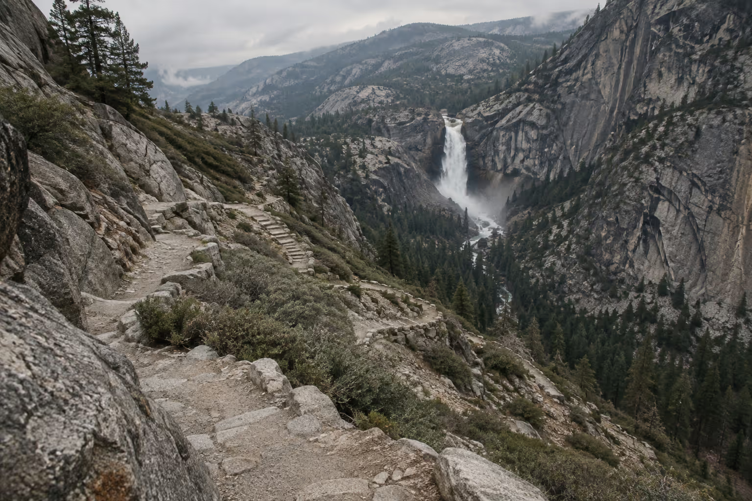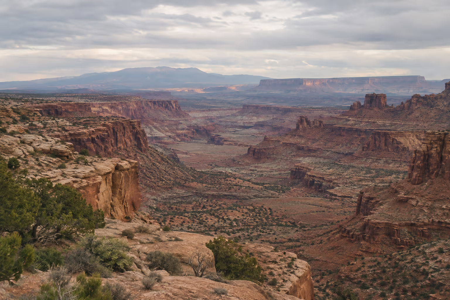
A Utah national parks road trip through Zion, Bryce Canyon, Capitol Reef, Arches and Canyonlands strings together three short transfer legs. The published legs are 86 miles from Zion to Bryce, about 120 miles from Bryce to Capitol Reef, and about 145-150 miles from Capitol Reef to Moab (1)(2)(4). Added up, that’s roughly 350 miles (563 km). One itinerary that also counts the drive from Moab out to Canyonlands puts the loop at about 400 miles between the parks (4). Mileage isn’t what makes this trip tight. Permits, lottery deadlines, shuttle schedules and winter road closures are, and this guide works through each one park by park for both a 7-day and a 9-10 day version.
✓ Pros
- Five parks fit into one connected self-drive route.
- Moab lets you visit Arches and Canyonlands without changing hotels.
- The route can be shortened or given extra hiking days.
✗ Cons
- A short itinerary leaves little room to recover from weather delays.
- Angels Landing and other reservations require advance planning.
- Summer congestion and winter road closures can disrupt the schedule.
Planning Your Utah National Parks Road Trip: Route, Distances and Timing
The most efficient Utah national parks road trip runs Zion → Bryce Canyon → Capitol Reef → Moab, with Moab serving as the single base for both Arches and Canyonlands (1)(2)(4). That order follows the roads as they connect: you start in the southwest corner, climb onto the high plateau at Bryce, cross Scenic Byway 12 into Capitol Reef, then drop east to Moab.
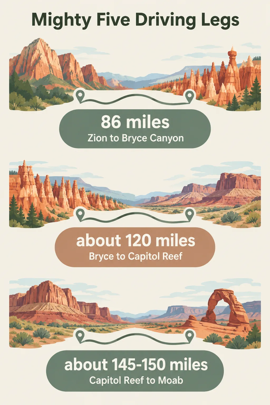 The Utah Mighty Five route’s three main transfer legs are 86 miles from Zion to Bryce Canyon, about 120 miles from Bryce Canyon to Capitol Reef, and about 145-150 miles from Capitol Reef to Moab (1)(2)(4).
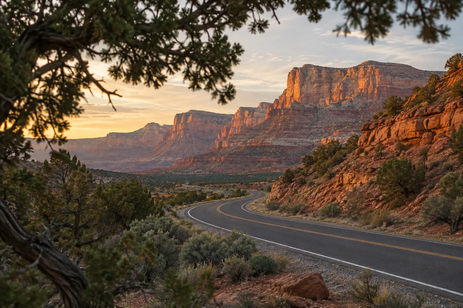
The Standard Park Order and Why It Works
The Zion-first order works because each leg feeds directly into the next park’s entrance, so you never backtrack. Zion is the closest park to Las Vegas, and Moab is the closest base to Salt Lake City, so the loop pairs naturally with either airport. One published version reverses the direction entirely: it flies into Salt Lake City, starts at Arches, and ends at Zion within reach of Las Vegas (4). Both directions work. The deciding factors are flight prices and whether a one-way car rental drop fee wipes out the savings.
Moab anchors the eastern end because Arches and Canyonlands sit next to each other. Arches to Canyonlands is about 30 miles (48 km), roughly 35 minutes of driving (2), and the Island in the Sky district is about 32 miles (51 km) from Moab (4). Two nights in Moab covers both parks without a hotel move (4). That saves you a packing-and-checkout morning, which matters more on this trip than the miles do.
A shorter Zion, Bryce and Arches road trip drops Capitol Reef and Canyonlands to fit a long weekend, though the drive from Bryce to Moab passes through or near Capitol Reef country anyway, so the full Mighty Five itinerary costs you very little extra time.
Leg Distances: Zion to Bryce to Capitol Reef to Moab
The three park-to-park transfer legs on the Mighty Five itinerary each run between about two and three hours of driving. The published figures:
- Zion to Bryce Canyon: 86 miles (138 km), about two hours (1)
- Bryce to Capitol Reef: about 120 miles (193 km) and 2.5 hours on one itinerary (2); about three hours on UT-12 on another (1)
- Capitol Reef to Moab/Arches: about 145-150 miles (233-241 km), about 2.5 hours (2)(4)
- Arches to Canyonlands: about 30 miles (48 km), about 35 minutes (2)
The “about 400 miles” figure comes from an itinerary whose own leg list includes the 32-mile drive from Moab to Island in the Sky (4), so the two totals measure different things. The leg-by-leg figures are the ones to use when you plan a transfer day, because they tell you how much of that day is gone before you reach the next trailhead. Your total fuel figure should also include the drives from and back to the airport, which add more than the transfer legs do on some routings.
Bryce to Capitol Reef on UT-12 is the slowest leg per mile. The road is two lanes through Escalante country with grades and pullouts, and the three-hour estimate (1) is more realistic than the 2.5-hour one if you stop at all.
Best Month to Visit
Late September through October is the strongest window for this trip, with late April through May as the runner-up. The reason is elevation spread. Bryce sits at 8,000 feet (2,438 m) (9), so it gets snow and road closures long before the lower parks cool down. Zion’s canyon floor, Arches and Canyonlands run far hotter in midsummer, which makes long hikes harder. Shoulder seasons split the difference: Bryce is usually still open, and the desert parks are cooler. Summer brings the biggest crowds and afternoon storm season, which is when flash floods close canyon roads and slot hikes. Winter is the emptiest time to go, with more road-closure risk at Bryce and Capitol Reef, covered park by park below.
What It Costs
This trip has no single price tag, but the cost structure is predictable. Lodging is the biggest line item, and the gateway towns that serve the busiest parks (Springdale for Zion, Moab for Arches and Canyonlands) tend to be the priciest beds on the route, especially in spring and fall. Torrey near Capitol Reef and the towns around Bryce generally cost less. Fuel is moderate given the short legs. Park entry fees add up across five parks, which is why an annual pass usually makes sense (more on that in the logistics section). The reservation fees to plan around are the Angels Landing lottery fees, covered in the Zion section, and the Fiery Furnace hike fee, covered in the Arches section.
The Five Parks at a Glance
Here is how the five compare on this route; for how they stack up against parks in other regions, see our guide to the best national parks in the USA.
- Zion: Angels Landing (permit required beyond Scout Lookout) (3). Plan two nights. Winter risk is icy rock on the chains section.
- Bryce Canyon: Navajo-Queens Garden loop, 2.9 miles (6). No entry reservation. Plan one night. Winter risk is a main-road closure beyond mile marker 3 after snowstorms (14).
- Capitol Reef: The 7.9-mile paved Scenic Drive (15). No entry reservation. Plan one night. Roads close for snow, ice, mud or flash floods (15).
- Arches: Delicate Arch and The Windows (4). No timed entry in 2026; Devils Garden Campground and Fiery Furnace require reservations (11). Base in Moab, two nights shared with Canyonlands.
- Canyonlands: Island in the Sky’s 34-mile round-trip scenic drive (10). No entry reservation, though some 4WD roads need day-use permits (10). Shares the Moab base with Arches.
Utah National Parks in a Week: Is 7 Days Enough?
Seven days is enough to see Utah national parks in a week at one park per day, but only if you accept a compressed pace with little room for long hikes or weather delays. One published itinerary gives the loop 5 to 7 days, calls seven ideal and says eight is better (4); another calls seven days the comfortable editorial shape and notes that it’s a planning convention, not an NPS-recommended day count (1).
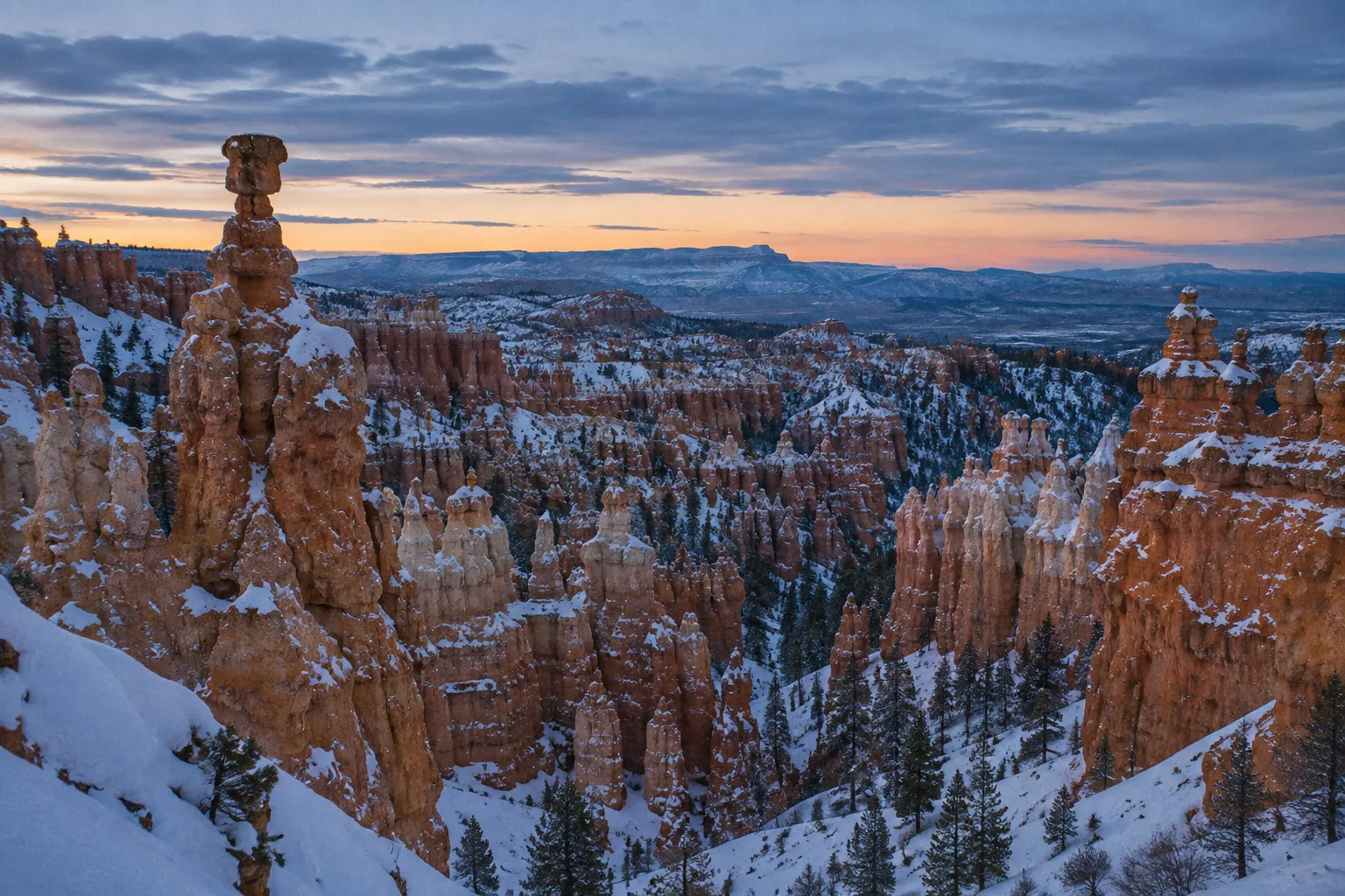
The 7-day structure that works best gives Zion two nights, Bryce one, Capitol Reef one, and Moab two for Arches and Canyonlands (1)(4). That’s six nights and seven days, with arrival on day one and departure on day seven. It minimizes hotel moves, but every park except Zion gets a single day or less, and three of those days start with a 2-3 hour drive.
Where a week gets tight is not the mileage. According to one itinerary, it gets tight when you try to stack Angels Landing, Fiery Furnace and both Moab parks into the schedule without accounting for permits and congestion (1). Angels Landing alone takes about four hours on the trail (3), and that assumes you won the lottery. Fiery Furnace requires its own reservation (11). Island in the Sky’s scenic drive takes 2-3 hours before you add a single hike (10). Each of those fits in a week. All three, plus Delicate Arch at sunset, means a very long two days in Moab.
Here’s the decision rule:
- Choose 7 days if your priority is seeing all five parks, you’re fine with viewpoints and short hikes in most of them, and you can live with skipping a big hike if a lottery or the weather goes against you.
- Choose 9-10 days if you want one or two full hiking days, you’re traveling with kids or anyone who tires on back-to-back drive days, or you’re going between November and March, when a snow closure at Bryce or a muddy road at Capitol Reef can cost you a day.
The extra days earn the most at either end of the route. A second day in Zion gives you a backup if Angels Landing doesn’t come through, and a third night in Moab lets you add The Needles district of Canyonlands or a Fiery Furnace slot without giving up Delicate Arch. A 10-day family-oriented itinerary built around easy hikes and scenic drives shows how much calmer the loop feels with that margin (6).
If you have five days or fewer, drop a park rather than rushing all five. Capitol Reef and Canyonlands are the usual cuts, though that turns the trip into the shorter three-park version described above.
A Day-by-Day Itinerary: Zion to Bryce to Capitol Reef to Moab
The day-by-day itinerary below runs Zion to Bryce to Capitol Reef to Moab in two versions: a 7-day fast route with six nights, and a 10-day relaxed route that you can trim to nine. Both assume you start near Zion; reverse the sequence if you’re flying into Salt Lake City and want to begin at Arches.
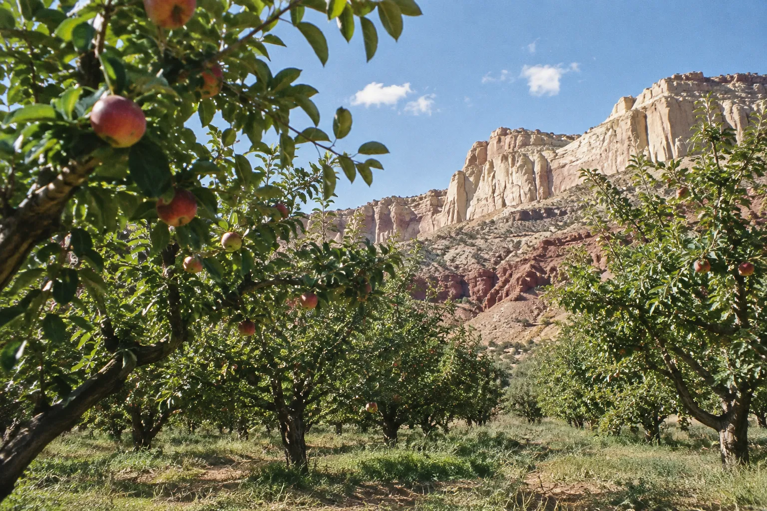
7-Day Fast Itinerary
Day 1: Arrive and drive to Zion. From Las Vegas, Zion is about 160 miles (257 km), roughly 2.5 hours. From Salt Lake City, it’s about 275 miles (443 km), roughly 3.5 hours (2). Sleep in or near Springdale.
Day 2: Zion. Start early, on one of the first shuttles when they run (see the shuttle dates below). If you hold an Angels Landing permit, the 5.4-mile round trip takes most hikers about four hours (3). If you don’t, hike to Scout Lookout, which needs no permit (3), then spend the afternoon on the easier canyon-floor trails.
Day 3: Zion to Bryce Canyon. Drive 86 miles, about two hours (1). Spend the afternoon on the rim between Sunrise, Sunset, Inspiration and Bryce Points, and hike the Navajo-Queens Garden loop, 2.9 miles (4.7 km) (6), if your legs allow. Sleep near Bryce.
Day 4: Bryce to Capitol Reef. Catch an early rim viewpoint, then drive about 120 miles (2) on UT-12, roughly three hours (1). Drive the 7.9-mile Scenic Drive (15) in the afternoon. Sleep in Torrey or at Fruita Campground.
Day 5: Capitol Reef to Moab and Arches. Drive about 145-150 miles, roughly 2.5 hours (2)(4). Use the afternoon for The Windows and Double Arch, then hike to Delicate Arch for the late light (4). First of two nights in Moab.
Day 6: Canyonlands, Island in the Sky. Mesa Arch at sunrise, then the scenic drive with a stop at Grand View Point (4). Back in Moab by early afternoon, which leaves time to return to Arches for Devils Garden or Balanced Rock (4).
Day 7: Depart. Moab to Salt Lake City International is about 237 miles (381 km) (8). Canyonlands Field (CNY), about 16 miles (26 km) from Moab, is the closer airport if fares work (8).
9-10 Day Relaxed Itinerary
Days 1-3: Zion. Arrival day, then two full days. Put Angels Landing (or your lottery attempt) on the first full day and keep the second as a backup or for a different trail. If rain is forecast, swap them: the chains section is dangerous when wet (3).
Day 4: Zion to Bryce. Same 86-mile drive (1), with an afternoon on the rim.
Day 5: Bryce full day. Sunrise at the rim, the Navajo-Queens Garden loop (6), and the Southern Scenic Drive if it’s open. This is your weather buffer for the high country: if snow closes the main road beyond mile marker 3 (14), you still have the Amphitheater and a second chance at the southern drive.
Day 6: Bryce to Capitol Reef. Drive UT-12 (1), then take the Scenic Drive.
Day 7: Capitol Reef full day. Hike one of the spur-road canyons off the Scenic Drive (Grand Wash, or Capitol Gorge when its road is open) (15)(12) and spend time in the Fruita district. In summer, this doubles as a flash-flood buffer.
Day 8: Capitol Reef to Moab, Arches afternoon. About 145-150 miles (2)(4), then Delicate Arch at sunset (4).
Day 9: Canyonlands. Island in the Sky with Mesa Arch, an easy 0.6-mile (1 km) walk (6), and the 34-mile round-trip scenic drive (10).
Day 10: Arches full day or The Needles, then depart. Use a Fiery Furnace reservation (11) or Devils Garden in the morning, or commit the day to The Needles, about 1.5 hours from Moab (10). If you’re flying out of Salt Lake City the same day, keep this day short and leave the long hikes for days 8-9.
To cut this to nine days, drop the second full Zion day or the full Capitol Reef day. Keep the extra Bryce day if you’re traveling between November and March.
Zion National Park: Trails, Angels Landing Permits and Shuttle Logistics
Zion National Park requires a permit for Angels Landing beyond Scout Lookout, and most visitors reach the trailhead on the park shuttle, which needs no reservation (3). Those two facts shape any Zion day. The rest is choosing which canyon-floor trails fill the hours around them.
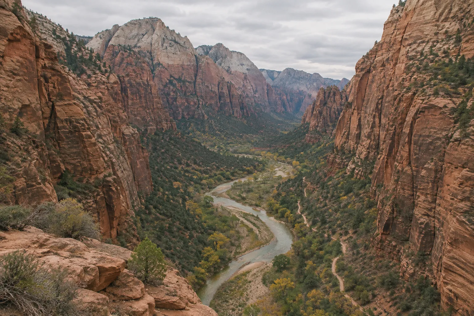
Angels Landing: Permit, Lottery and the Chains
Angels Landing is a 5.4-mile (8.7 km) round trip that gains 1,488 feet (454 m), and most hikers need about four hours (3). The permit covers the chains section beyond Scout Lookout; you can hike to Scout Lookout without one (3). That split matters for planning, because a lost lottery doesn’t wipe out the morning. Scout Lookout is a solid hike on its own.
There are two lotteries. The day-before lottery is the one most road-trippers use, since it lines up with a fixed itinerary; the full application window, fees and permit steps are laid out below. Applications close at 3 p.m. Mountain Time and results post an hour later (3), which means you’ll likely be checking from your Springdale hotel the evening before. Download or screenshot the permit right then. Don’t plan to pull it up at the trailhead.
The seasonal lottery runs months ahead. Applications for the December 1 to February 28, 2027 hike window closed October 20, with permits issued October 25 (3). For March 1 to May 31, 2027, the lottery opens January 1 and closes January 20, with permits issued January 25 (3). For later seasons, check the NPS Angels Landing page for that window’s dates, since the seasonal lottery is the better bet for anyone who can’t flex the day.
Do not climb the chains in wet or icy conditions or during storms. NPS warns that wet rock is slick and accidents are more common in wet conditions (3). A permit for a rainy day is not a reason to go up. This is the main reason the relaxed itinerary gives Zion two full days.
Other Zion Trails Worth Your Time
Zion’s canyon floor fills a day easily even without Angels Landing. Here’s how the main options rank for a road trip with limited time:
Worth the detour:
- Scout Lookout: Most of Angels Landing’s climb and switchbacks, with no permit. The obvious fallback.
- The Narrows (bottom-up): Wading up the Virgin River from the end of the Riverside Walk. It depends on water levels and flash-flood risk, so treat it as a conditions-dependent bonus, not a fixed plan.
- Riverside Walk: Flat and short, at the top of the canyon. It’s the easiest way to see the walls close in, and the starting point for The Narrows.
Skip if short on time:
- Emerald Pools: Pleasant and well-signed, but less distinctive than the rest of the list.
- Pa’rus Trail: A paved trail near the visitor center. Good for an arrival evening, not worth a slot in a single-day visit.
- The Subway: A long day off Kolob Terrace Road, outside the shuttle system, with its own wilderness permit lottery. Our Zion Subway guide covers it if you add a Zion day.
Shuttle Logistics and Where to Stay
For much of the year, Zion Canyon Scenic Drive is served by the park shuttle rather than private cars, and that’s how most hikers reach the Angels Landing trailhead (3). No reservation is needed to ride (3). Two rules: check the seasonal shuttle schedule before you go, and don’t miss the last shuttle back down canyon (3). On an Angels Landing day, plan your start around the first departures and your finish well ahead of the last one. As of November 2026, shuttles run daily through November 28 (first bus up canyon at 7 a.m., last at 5 p.m.), stop from November 29 to December 25, then run again from December 26 to January 2; outside the shuttle season, usually December through February, you can drive the Scenic Drive yourself (18).
For lodging, Springdale is the gateway town at the south entrance and puts you within walking or short-shuttle distance of the visitor center. Zion Lodge sits inside the canyon and is the only in-park hotel. Both fill early in spring and fall, so book Zion lodging before you book anything else on this route.
How to Apply for the Angels Landing Day-Before Lottery
Apply the day before your hike, check the result, and save your permit before heading to the trailhead.
- 1
Submit an application
Apply between 12:01 a.m. and 3 p.m. Mountain Time on the day before your hike.
- 2
Pay the application fee
Pay the non-refundable $6 application fee, which covers up to six people for the 2026 permit season.
- 3
Check the result
Check for your result at 4 p.m. Mountain Time on the application day.
- 4
Pay the permit fee if selected
If selected, pay $3 per person for the 2026 permit season.
- 5
Save or print the permit
Download or print the permit before leaving for the trailhead; phone service at the checkpoint is unreliable.
Bryce Canyon: Top Views, Lodging and Winter Road Closures
Bryce Canyon’s main viewpoints cluster in the Amphitheater along the first 3 miles (4.8 km) of the park road, which makes Bryce the easiest of the five parks to see well in a short visit (9)(14). The four main viewpoints are Bryce, Inspiration, Sunset and Sunrise Points, and most of the park’s day hikes start in that same stretch (14).
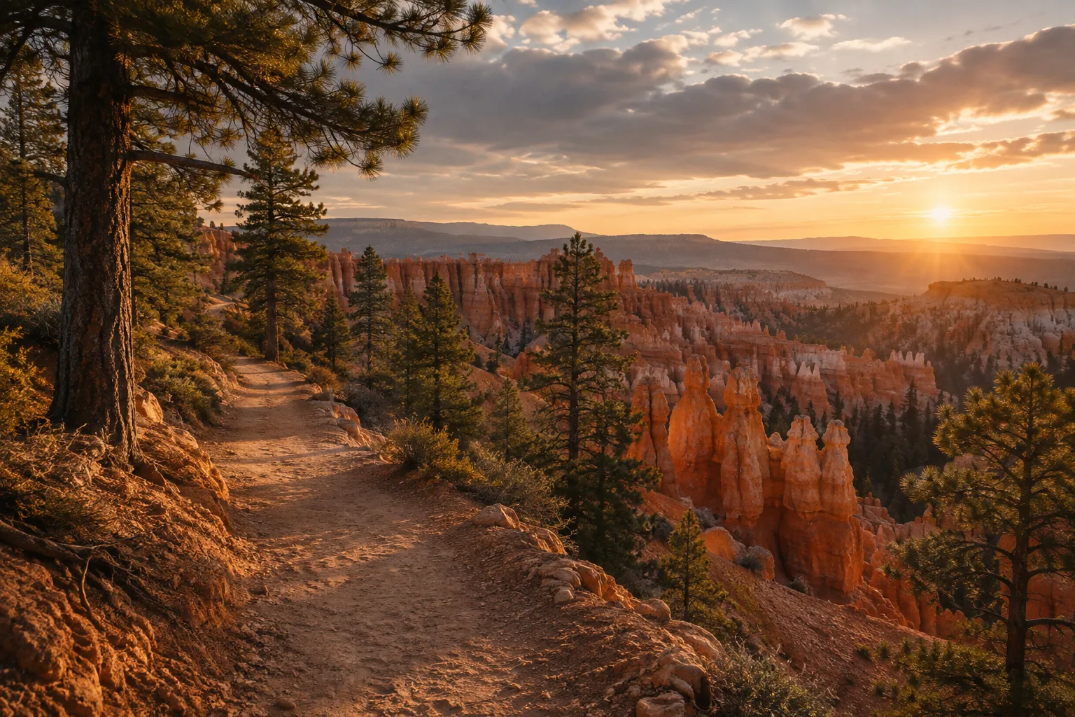
What to Prioritize at Bryce
Worth the detour:
- Navajo-Queens Garden loop: A 2.9-mile (4.7 km) loop (6) that drops below the rim into the hoodoos and climbs back out. If you only hike one trail at Bryce, make it this one. In winter, the Wall Street side of the Navajo Loop closes, but the Two Bridges side stays open for the Queen’s Garden combination (9).
- Sunrise and Sunset Points: Short walks from their parking areas. Pick one for sunrise; the low-angle light on the hoodoos is the reason people stay overnight here instead of driving through.
- Inspiration and Bryce Points: Higher vantage points over the whole Amphitheater, and the best spots for wide shots.
Skip if short on time:
- Southern Scenic Drive: The road continues south past the Amphitheater to more overlooks. If you have half a day or less, the Amphitheater gives you more for the time.
Parking is the main hassle in peak season. The Amphitheater is the most congested part of the park, and NPS recommends the free shuttle, which is optional and needs no reservation (14); it runs from April through mid-October (April 3 to October 18 in 2026), so a winter visit means driving yourself (17). Bryce Point’s lot, for example, has 49 spaces (14), which fill fast on a summer morning.
Bryce Canyon Lodging
Bryce Canyon lodging falls into three groups: The Lodge at Bryce Canyon inside the park, the hotels and campgrounds clustered in Bryce Canyon City just outside the entrance, and smaller motels in Tropic to the east. The in-park lodge puts you closest to the rim at sunrise, but it closes in winter, when lodging often remains available at its Sunset Lodge Unit (9). Bryce Canyon City is the practical middle ground and sits on the way in from Zion. Tropic is quieter and sits on UT-12, which makes for an easy start on the drive to Capitol Reef the next morning.
Winter Road Closures at Bryce
Bryce sits at 8,000 feet (2,438 m) (9), and that elevation makes it the park on this route most likely to disrupt a winter itinerary. After snowstorms, the main road can temporarily close beyond mile marker 3, and closures can last a day or longer (14).
The Amphitheater section, the one with the four main viewpoints, is plowed first (14). So a snow closure usually takes away the Southern Scenic Drive and leaves the views most people came for. NPS’s own winter guidance for a 1-3 hour visit is to focus on the Amphitheater along the first 3 miles (9). Two spur roads, Fairyland Point and Paria View, close for the entire winter season (9), so leave those out of any November-March plan.
Winter at Bryce also brings things the other parks don’t have. Snowshoeing is allowed on all trails, and cross-country skiing is permitted above the rim (9). After a big snowfall most day-hiking trails need snowshoes, and once they pack down they turn icy; NPS recommends traction devices over your footwear (9). Pack microspikes if you’re going between December and March, and check the NPS Bryce conditions page the morning of your drive from Zion.
Capitol Reef: Scenic Drive, Hikes and Where to Stay
Capitol Reef’s centerpiece is the 7.9-mile (12.7 km) paved Scenic Drive, suitable for passenger vehicles, with two dirt spur roads into Grand Wash and Capitol Gorge (15). NPS suggests about an hour and a half round trip to drive it with both spurs (15). That fits neatly into the afternoon you arrive from Bryce.
What to Prioritize at Capitol Reef
Capitol Reef is the park most itineraries treat as a drive-through, and on a 7-day trip that’s a reasonable call. It’s also the least crowded of the five, which makes it a good place to spend the extra day on a 10-day route.
Worth the detour:
- The Scenic Drive with both spur roads: Grand Wash and Capitol Gorge lead into canyons and to trailheads, but they’re limited to vehicles and trailers no more than 23 feet in total length (16). Driving to the end of a spur and walking into the canyon is the highest-value hour in the park.
- The Fruita district: The historic orchards and Gifford House sit at the park’s center. The Gifford House runs seasonal hours (12); confirm them at the visitor center.
Skip if short on time:
- Longer backcountry roads: Capitol Reef’s unpaved roads beyond the Scenic Drive area change condition often and are better saved for a dedicated trip with the right vehicle.
Road Closure Risk
The Scenic Drive, Grand Wash and Capitol Gorge roads can all close for snow, ice, mud or flash floods (15). That covers both ends of the year: winter storms and the summer afternoon storms that send water through the canyons. NPS lists current road status on its alerts page (12), and you can call 435-425-3791, pressing 1 then 4 for road conditions (15). As of November 6, 2026, the Scenic Drive and Grand Wash were open to standard vehicles and the Capitol Gorge road was closed (12). Check before you leave Bryce, especially if your plan depends on a spur-road hike.
Capitol Reef Lodging and Dining
Torrey, just west of the park on UT-24, is the base for Capitol Reef lodging and dining. It’s small, so the choice of restaurants and motels is limited compared with Springdale or Moab, and some places keep shorter hours outside peak season. Book dinner plans or pack food if you’re arriving late.
Inside the park, Fruita Campground is reservable year-round through recreation.gov, with dates released up to six months in advance (12). That six-month window is the booking mechanic to note here: if you want a campsite for an October trip, the reservation opens in April.
Arches National Park: 2026 Entry Rules and Reservations
Arches National Park does not require an advance timed-entry reservation in 2026; visitors can enter during operating hours, though entry may be diverted when the entrance area gets congested (11)(13). The park announced the change in a news release dated February 18, 2026 (13). Check the NPS announcement for the year you’re traveling, since the policy is set year by year (11)(13).
What hasn’t changed is that parts of the park still run on reservations (11):
- Devils Garden Campground requires a reservation.
- Fiery Furnace hikes require a reservation.
So don’t assume the whole park is reservation-free. If Fiery Furnace is on your list, book it before you finalize the Moab days; if you don’t get a slot, the rest of the itinerary works without it.
Arriving at Arches
Without timed entry, congestion at the entrance becomes the planning problem. Entry may be temporarily diverted when traffic backs up (11), so the practical answer is to arrive early in the morning or late in the afternoon, when lines are shorter and the light on the sandstone is better anyway.
Two safety basics apply here more than anywhere else on the loop. Plan on at least 1 gallon (4 L) of water per person per day, even in cool weather; refill points are at the visitor center and Devils Garden (11). And don’t rely on cell service inside the park (11).
What to Prioritize at Arches
The park holds more than 2,000 natural stone arches, and the best-known ones sit close to the road (4)(11).
Worth the detour:
- Delicate Arch: Hike it for the late light (4). This is the one to protect in your schedule.
- The Windows and Double Arch: Short walks for big payoff (4). Good for an arrival afternoon.
- Devils Garden Trail to Landscape Arch: A longer walk at the north end of the park (4). Good for a second Arches morning.
Skip if short on time:
- Balanced Rock: A five-minute roadside stop (4). Pull over if you’re passing; don’t build time around it.
- Fiery Furnace: Worth doing if you have the reservation and a full extra half day, but it’s the easiest piece to drop from a 7-day plan. You enter only with a ranger or an individual permit; ranger-led hikes normally run spring through fall and cost $16 per person (21).
Canyonlands: Choosing Between Island in the Sky and The Needles
Canyonlands National Park must be visited one district at a time, because no roads or bridges connect its districts inside the park; for a one-day visit, Island in the Sky is the clear choice (8). Treating Canyonlands as a single scenic drive is one of the most common planning errors on this route. Driving from one district to another takes 2-6 hours (10).
Island in the Sky: The One-Day Pick
Island in the Sky is the most accessible district for a short visit (8). It’s reached from US 191 north of Moab via UT 313 (8), about 32 miles (51 km) from town (4). The paved mesa-top scenic drive is 34 miles (55 km) round trip and typically takes 2-3 hours, depending on stops (10). Budget that time before adding any hikes.
Worth the detour:
- Mesa Arch: A 0.6-mile (1 km) walk (6), best at sunrise when the light hits the underside of the arch (4). Expect company at dawn.
- Grand View Point: The overlook at the end of the mesa, where rangers give geology talks spring through fall (4). The canyons drop about a thousand feet (305 m) below the rim (4).
Skip if short on time:
- Shafer Trail and White Rim Road: Unpaved routes down off the mesa. Most rental agreements restrict vehicles to paved roads (10), and the White Rim Road requires a day-use permit for four-wheel-drive, motorcycle and bicycle travel (10). Leave these for a trip with a capable vehicle.
The Needles: A Separate Day
The Needles is reached from US 191 south of Moab via UT 211 (8), about 1.5 hours from Moab with limited or no services along the way (10). That makes it a full-day commitment on its own. Fill the tank and pack food and water before you leave town. The Needles works best as the extra day on a 9-10 day itinerary, not as a squeeze on day six of a week.
The Maze, the third main district, is reachable only on unpaved roads (graded dirt or high-clearance four-wheel drive), and those roads may become impassable when wet (8). It isn’t a road-trip stop.
If you’re in an RV or towing, note that vehicles over 25 feet (7.6 m) in total length can park at Island in the Sky only at the visitor center, Shafer Canyon Overlook, Grand View Point and Green River Overlook without difficulty, and can drive only the paved scenic drive at The Needles (8). Cell service is limited in all districts (10).
Permits, Passes and Other Logistics for the Trip
The logistics that matter most on this trip are getting to the first park, covering five entrance fees efficiently, and knowing which reservations to book before you leave home. Here’s the short version.
Flights and Starting Points
Salt Lake City and Las Vegas are the two practical gateways. Distances from both gateways are in the day-by-day plan above. On the Moab end, Salt Lake City International is about 237 miles (381 km) away, Grand Junction Regional (GJT) about 113 miles (182 km), and Canyonlands Field (CNY) about 16 miles (26 km) (8).
The cleanest round trip is Salt Lake City in and out: drive south to Zion, loop east, and return north from Moab. An open-jaw trip (fly into Las Vegas, out of Salt Lake City, or the reverse) saves a few hours of driving but usually means a one-way rental fee. Price both before committing. If you start from Salt Lake City and want the shortest first-day drive, the reverse route that begins at Arches (4) puts you in Moab first and leaves Zion for the end.
The Moab Stop
Book Moab early for spring and fall. Arches’ entrance is just north of town, so pick a place on the north side if you want the shortest morning drive to both entrances.
The America the Beautiful Pass
With five national parks that each charge an entrance fee, the annual America the Beautiful pass usually costs less than paying at every gate, and it covers a carload at per-vehicle parks. It doesn’t cover the Angels Landing lottery and permit fees (3), campground fees or Fiery Furnace reservations. As of November 2026, the pass costs $80 for US residents and $250 for non-US residents, and Zion and Bryce Canyon charge non-US residents 16 and over an extra $100 per person unless they enter with an annual or America the Beautiful pass (19)(20). Pass pricing and eligibility rules change, so confirm current terms on the NPS fees page before you buy.
Reservations to Book Before You Leave
- Angels Landing: Seasonal lottery if your dates fall in an open window, or plan for the day-before lottery (3).
- Fiery Furnace and Devils Garden Campground: Both require reservations in 2026 (11).
- Fruita Campground: Reservable up to six months in advance on recreation.gov (12).
- Lodging in Springdale and Moab: The tightest inventory on the route in peak season.
What you don’t need to book: Arches timed entry in 2026 (11), the Zion shuttle (3) and the Bryce shuttle (14).
Frequently Asked Questions
- How do Zion and Bryce differ for a short visit?
- Bryce is easier to sample in a few hours from its rim viewpoints, while Zion's canyon setting rewards more time moving between trailheads and canyon-floor routes.
- Do you need a permit to hike all of Angels Landing?
- Yes. A permit is required to continue beyond Scout Lookout onto the chains section; Scout Lookout itself is an option if you do not get one.
- Which Canyonlands district makes the most sense for a single day?
- Choose Island in the Sky for a one-day visit from Moab; reserve The Needles for a separate day if you have extra time.
- What should you do if winter weather changes your park plans?
- Check current NPS road alerts before each transfer and keep a lower-elevation or shorter-hike backup for days when snow, ice, mud, or storms affect access.
What to Lock In Before You Leave
Book in this order: Zion and Moab lodging, any Fiery Furnace or Devils Garden Campground reservations, and either the Angels Landing seasonal lottery or a plan for the day-before lottery with a backup trail ready. Skip the Arches timed-entry search in 2026, since it isn’t required. On the morning of each transfer day, check the NPS alerts pages for Bryce and Capitol Reef before you start driving, because those two parks are where the road status changes overnight.