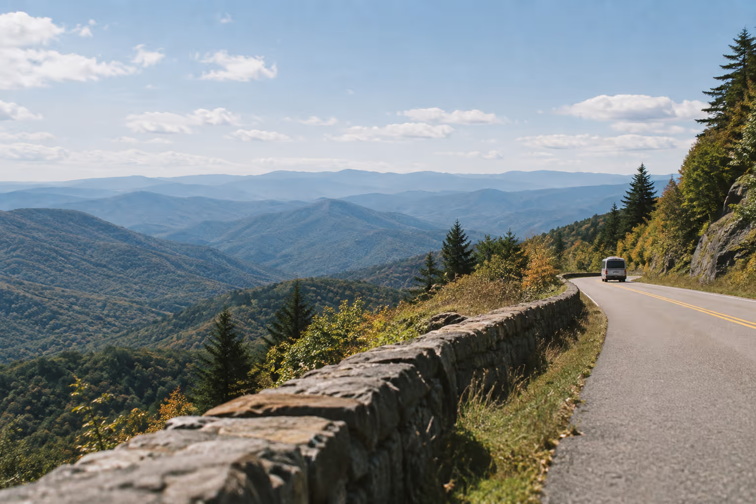
The Blue Ridge Parkway runs 469 miles (755 km) from Milepost 0 at Skyline Drive to Milepost 469 at Newfound Gap Road (11). Its elevation varies from just under 650 feet (198 m) at the James River to over 6,000 feet (1,829 m) south of Mount Pisgah (6). A Blue Ridge Parkway road trip works best as three days to a week of segment driving, sequenced around current closures and elevation-driven fall color. More than 400 miles were back in public use by fall 2025 (3), but on November 3, 2026 one Helene closure, MP 344.2-355.3, still split the North Carolina route (8), with 45 repair sites in progress (3).
The short version, before you commit PTO:
- Pros: no entrance fee (11), 382 overlooks (4), and flexible pacing because you can join or leave at many access roads (4).
- Cons: a Helene-related closure still splits the North Carolina route (8), traffic slows near popular stops (15), fall color peak dates can’t be predicted (5), and some lodges, restaurants and visitor centers stay closed even where the road is open (8).
Planning Your Blue Ridge Parkway Road Trip: Route, Length, and Timing
The Blue Ridge Parkway is a 469-mile (755 km) road linking Shenandoah National Park in Virginia to Great Smoky Mountains National Park in North Carolina (4). The northern end starts at Rockfish Gap, where I-64 crosses at Milepost 0. The southern end meets Newfound Gap Road (US 441) at Milepost 469, near Cherokee, at the main southern entrance to Great Smoky Mountains National Park (15). Our guide to things to do at the Great Smoky Mountains picks up from there. Roanoke and Asheville sit on the route and make practical starting points (15); from the Northeast, a road trip from Pennsylvania to Tennessee joins the Parkway from Skyline Drive.
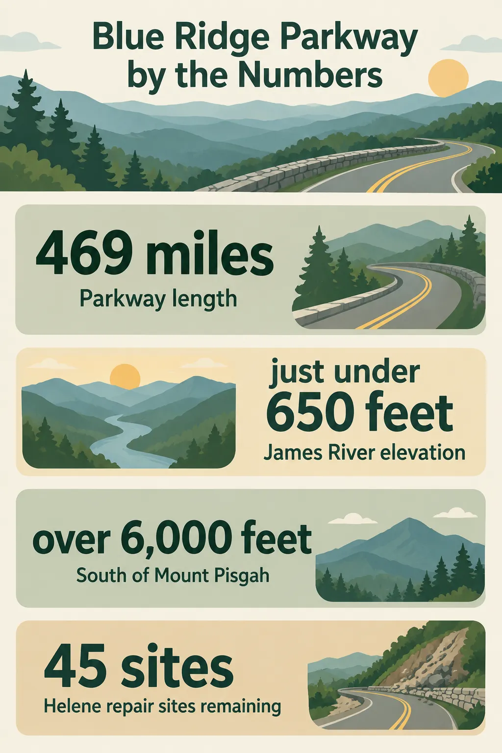 The National Park Service reports a 469-mile Parkway, elevations from just under 650 feet at the James River to over 6,000 feet south of Mount Pisgah, and 45 remaining Helene repair sites on its recovery page updated in September 2026.
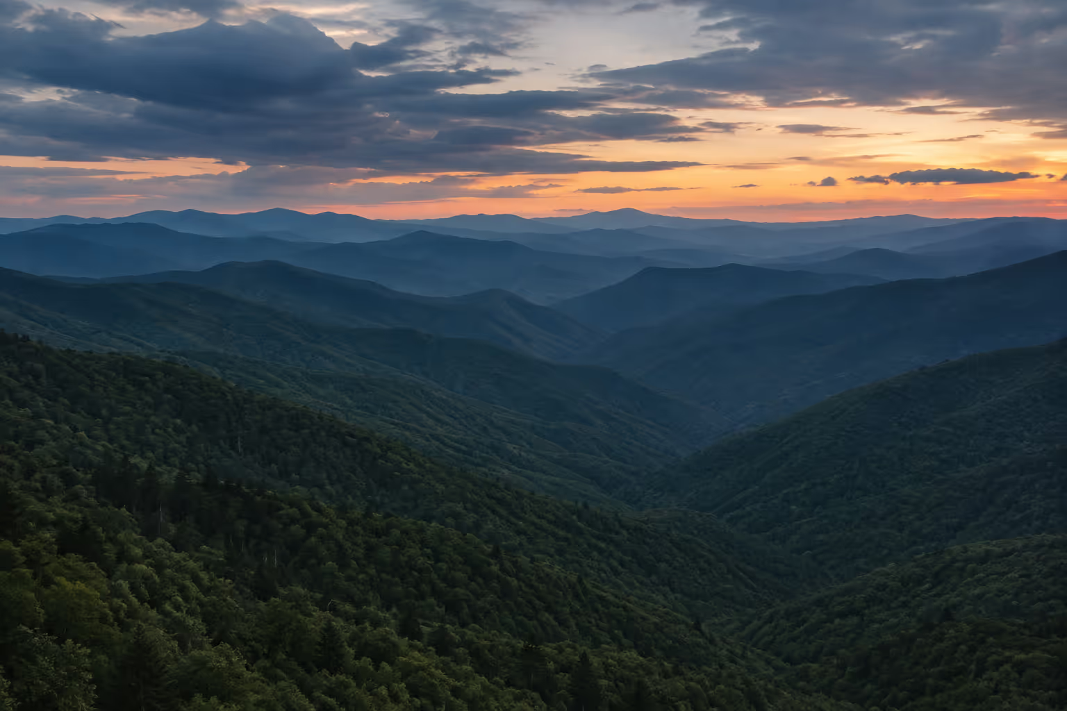
Elevation drives the weather and the fall color timing on this road. Temperatures can vary 10-20°F (6-11°C) between the foothill towns and the crest, and the Parkway can sit inside cloud and fog at any time of year (6).
On cost, the Parkway itself charges no entrance fee (11). Your budget goes to fuel, lodging in gateway towns, and food. If you want to add the parks at either end, Shenandoah and Great Smoky Mountains both feature in our guide to the best national parks in the USA.
Best month: October, because that’s when most trees change color (5). It’s also the busiest time on the Parkway (14), and recovery work is scheduled to run through the end of 2026 (3). If color isn’t the goal, summer gives you the Milepost Music concerts (10) and the seasonal visitor centers open (18).
How Long It Takes: About 16 Hours of Driving vs a Multi-Day Trip
The Parkway’s maximum speed limit is 45 mph and often lower, and the NPS rule of thumb is about 30 miles of Parkway per hour of driving (4). At that pace the full 469 miles are roughly 15 to 16 hours behind the wheel before any stops, which is why most travelers spend three days to a week (15). Closures and detours push the driving time higher.
Blue Ridge Parkway Best Stops: Overlooks, Mills, and Mountain Towns
The Blue Ridge Parkway best stops for a first trip are Mabry Mill (MP 176) (9), the Blue Ridge Music Center (MP 213) (12), the Folk Art Center near Asheville (MP 382) (15), and Waterrock Knob (MP 451.2) (12). Plan your days around those four anchors and treat everything else as optional. Outside the main season, check each one first: most Parkway visitor centers are seasonal, typically open from May through October (18). Most of them closed for the winter on November 2, 2026, including Humpback Rocks, Peaks of Otter, Rocky Knob, Doughton Park and the Blue Ridge Music Center, and their 2027 opening dates had not been announced (12).
Virginia Highlights: Mabry Mill and the Blue Ridge Music Center
Worth the detour: Mabry Mill (MP 176). Ed Mabry ground corn, sawed lumber and ran a blacksmith shop here for three decades. The original mill, sawmill and blacksmith shop still stand. The Mabry Mill Trail is a 0.5-mile (0.8 km) easy loop past the historic buildings (9). Cultural demonstrations run on weekends in summer and early fall, and the building interiors open seasonally, so check the event calendar before you make the mill a fixed stop (9). The restaurant and gift shop beside the mill are closed while a new operator renovates them, with reopening planned for spring 2027 (10). For meals, use Meadows of Dan, 3 miles (5 km) away, or Floyd, 15 miles (24 km) away (9)(10).
Worth the detour: Blue Ridge Music Center (MP 213), near Galax (12). This is the stop for Blue Ridge music. In 2026, the Milepost Music concerts ran on the first and third Sundays through the summer, starting June 7 (10). For a summer trip, check the new season’s dates and time the Virginia leg to land here on one of those Sundays. Outside summer and fall, check first: the center closed for the winter on November 2, 2026 (12).
North Carolina Highlights: Waterrock Knob and Asheville’s Folk Art Center
Worth the detour: Waterrock Knob Visitor Center (MP 451.2), near Maggie Valley (12). It’s one of the last high stops before the descent to Cherokee and a logical final overlook for a north-to-south trip. In 2026 the visitor center keeps November hours, 10 a.m. to 4 p.m., through November 15, then closes for the season (12).
Worth it if you’re overnighting in Asheville: Folk Art Center (MP 382) (15). The Parkway sections around Asheville were listed open on November 3, 2026 (8). The Blue Ridge Parkway Visitor Center at MP 384 sits nearby and is open year-round (18).
Skip if short on time: stopping at every visitor center. Peaks of Otter (MP 85.6) and Rocky Knob (MP 167) are both Virginia visitor centers (12); on a tight schedule in season, pick one. Both closed for the winter on November 2, 2026 (12).
Blue Ridge Parkway Itinerary: Sample Days from Shenandoah to the Smokies
A five-day Blue Ridge Parkway itinerary covers the full 469 miles at roughly 80-120 miles (130-195 km) per day (14). That pace leaves time for one or two real stops daily. It’s a north-to-south template, so confirm each segment is open before you lock in the sequence (8).
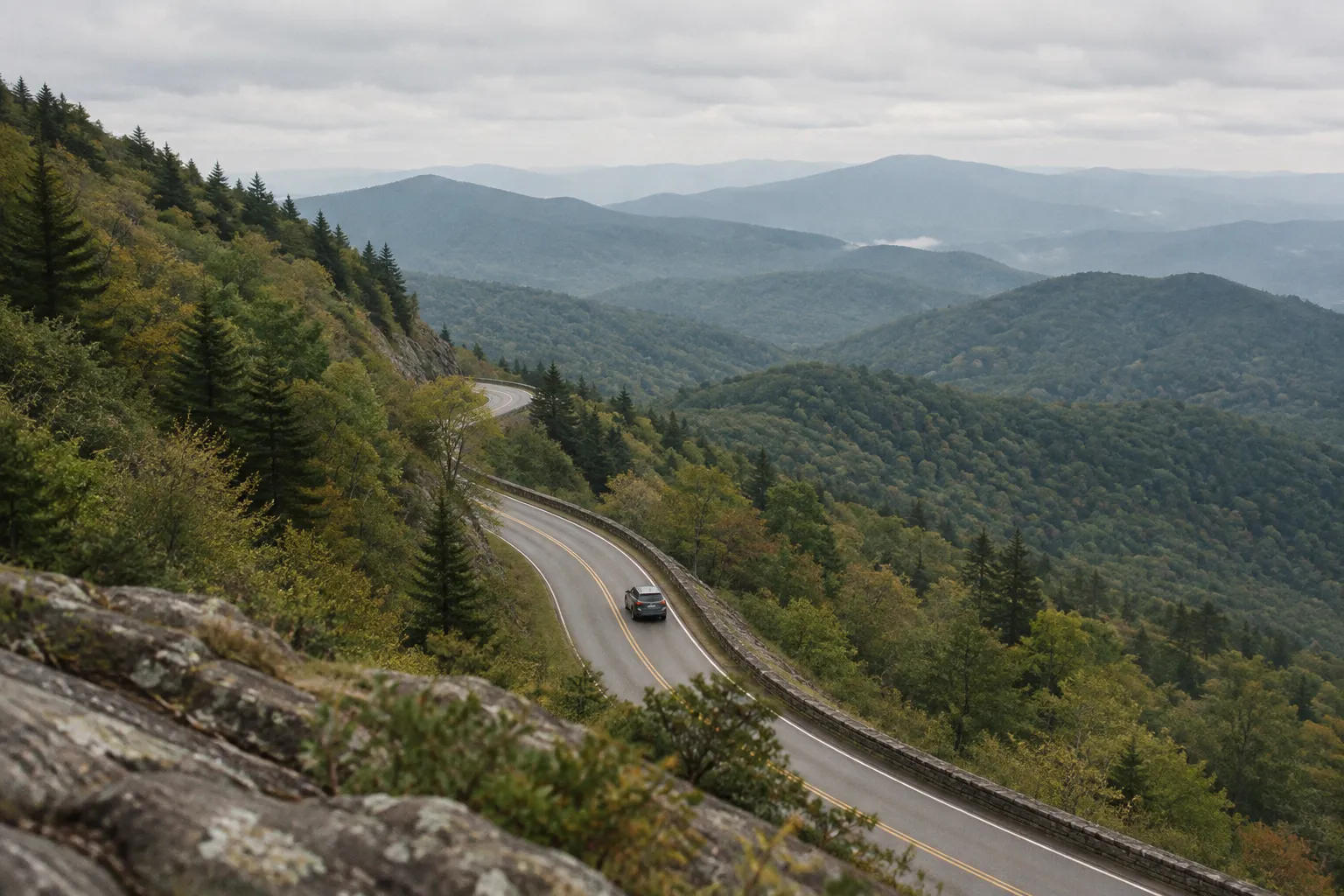
- Day 1, MP 0 to Roanoke (around MP 120): start at Rockfish Gap, stop at Humpback Rocks (MP 5.8), where the visitor center closed for the winter on November 2, 2026 but the mountain farm grounds stay open for self-guided tours (12). On November 3, 2026, the James River Bridge was closed between MP 63.5 and MP 63.9, with a signed detour from MP 61.4 to MP 64 (8)(13).
- Day 2, Roanoke to Galax area (MP 213): Mabry Mill at MP 176, then the Blue Ridge Music Center in season (9)(12).
- Day 3, MP 213 to Blowing Rock (MP 294): Doughton Park (MP 238), then Moses H. Cone Memorial Park near Blowing Rock (12). Doughton Park Visitor Center closed for the season on November 2, 2026, and the Moses Cone Manor House and visitor center close for the season on November 30 (12). Deep Gap Bridge (MP 276.4) is under repair until late spring 2027 (16); on November 3, 2026 its section was open with sporadic single-lane closures (8).
- Day 4, Blowing Rock to Asheville (MP 384): this is the segment most affected by Helene (3). On November 3, 2026, MP 344.2-355.3 was closed, so plan to leave the Parkway around it; the MP 324.7-327.5 closure listed in October was gone, with sporadic single-lane closures between MP 317 and MP 344 instead (8). Mount Mitchell State Park (MP 355.3) and Craggy Gardens were reachable from the Asheville side (8). Craggy Gardens Visitor Center keeps November hours, 10 a.m. to 4 p.m., through November 15, then closes for the season, and the Craggy Gardens Picnic Area remains closed (12).
- Day 5, Asheville to Cherokee (MP 469): Folk Art Center in the morning, Waterrock Knob in the afternoon.
Suggested Overnight Stops
The most practical overnight towns along the Blue Ridge Parkway are Roanoke, Galax, Blowing Rock, Asheville and Cherokee. They are the end points of a common five-day framework (14). Near Mabry Mill, Meadows of Dan and Floyd are the closest towns (9).
If you’d rather camp, Parkway campgrounds include Otter Creek (MP 60.8), Peaks of Otter (MP 85.9), Rocky Knob (MP 167.1) and Doughton Park (MP 239.2) (12). They open in season, typically late spring through fall (4), and all four closed for the winter on October 26, 2026 (12). On November 3, 2026, Otter Creek Restaurant, Bluffs Lodge and Rocky Knob Cabins were closed, as were the Linville Falls campground and picnic area (8). Don’t plan a night or a meal around any Parkway concession without checking it first.
Choosing Between a Long Weekend and a Full Week
The three paces suit different travelers, and the table below breaks down the scope, planning advantage and main tradeoff for each.
Choose a Parkway Trip Pace
| Long weekend | 3-to-4-day segment trip | Full week end-to-end | |
|---|---|---|---|
| Route scope | Asheville to Cherokee | Rockfish Gap to the Blue Ridge Music Center | Rockfish Gap to Cherokee |
| Planning advantage | Works well with an Asheville flight | Concentrates on Virginia music and history | Allows room for detours and weather |
| Main tradeoff | Limited to one region | Does not cover the full Parkway | Requires routing around active repairs |
Blue Ridge Parkway Fall Colors: Timing by Elevation
Blue Ridge Parkway fall colors move downhill through October. They start early in the month on the highest peaks and reach the lower elevations as the month passes (5). At higher elevations, scattered trees can show color as early as late September (5). According to the National Park Service, exact peak dates at specific locations are impossible to predict in advance (5).
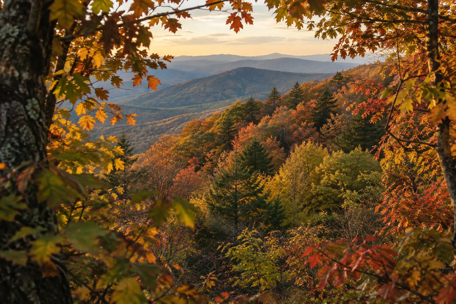
The mistake to avoid is planning around a single “peak week.” The Parkway spans more than 5,000 feet (1,524 m) of elevation (5), so there is no single peak. There’s a band of color that slides down the mountains.
A regional report dated October 29, 2026 shows why a fixed date fails. After a later start, the exposed ridges around Linville Falls and Little Switzerland were beginning to move beyond their brightest color, while color was still filling in lower down the mountain, around Old Fort, Marion and Lake James (7).
Plan by elevation instead of by date:
- If high-elevation reports show color, spend your color days on the high North Carolina stretches near Asheville and Waterrock Knob.
- If the high country has already peaked, shift toward the lower Virginia sections.
- Check current reports the week you leave, not months ahead.
Closures, Construction, and Current Road Status
The NPS Road Status and Closures page lists Blue Ridge Parkway access milepost by milepost. Treat it as the only reliable source for whether a section is open, closed, detoured or restricted (8).
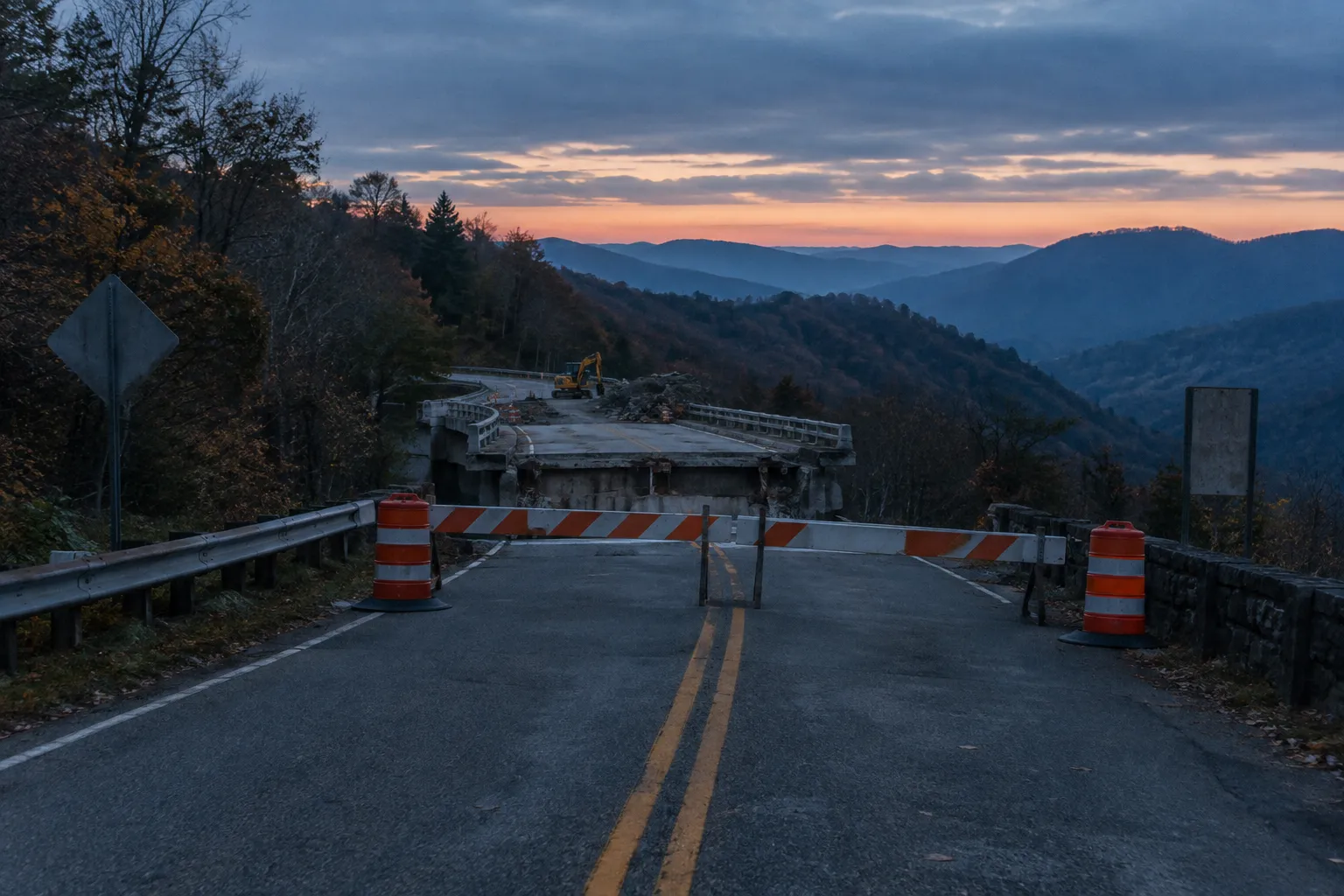
The most important rule for planning: a continuous route line on a map does not mean the road is open. On November 3, 2026, the status page showed (8):
- the James River Bridge closed at MP 63.5-63.9, with a signed detour from MP 61.4 to MP 64
- the Deep Gap section open again after its full closure, with sporadic single-lane closures while bridge work continues toward a late spring 2027 target (16)
- sporadic single-lane closures for road work on stretches between MP 261.2 and MP 305.1, and again between MP 317 and MP 344
- one Helene closure in North Carolina, MP 344.2-355.3, where recreation of any kind is prohibited
The worst damage ran from the Linville Falls area near MP 317 south to Mount Mitchell State Park near MP 355 (3). In March 2026, the NPS said heavy construction equipment would use open sections between Asheville (MP 382.5) and Mount Mitchell State Park (MP 355.3), with a reduced 35 mph speed limit and intermittent one-lane traffic control there (2). Road recovery is estimated to finish by the end of 2026 (3), with the Little Switzerland to Mount Mitchell repairs targeted for December 2026 (17).
Checking Status Before and During Your Trip
Check the NPS status page before you leave and again each morning on the road. The page posts a morning update and notes that status can change during the day (8). The maps page also warns visitors to check closures, especially between November and March (13).
When a Reopened Road Doesn’t Mean Open Facilities
Road status and facility status are separate, so verify both for every planned stop. Direct access to the Linville Falls trail system had reopened by May 2026 via the 1.5-mile (2.4 km) spur road, while the visitor center, picnic area and campground stayed closed (1). On November 3, 2026, the spur road was listed open and the campground and picnic area were still closed (8). Linn Cove Visitor Center was also temporarily closed that day, and hiking was prohibited at Crabtree Falls, whose campground was closed, because of Helene damage (8).
Frequently Asked Questions
- How long does it take to drive the entire Blue Ridge Parkway?
- Allow three days to a week; at the NPS rule of thumb of about 30 miles an hour, the 469 miles alone are roughly 15 to 16 hours of driving, before stops or closure detours.
- Is driving the full Parkway worthwhile during Helene recovery?
- A full-length trip can still work for travelers with schedule flexibility, but those with limited time may get more usable Parkway by choosing one open region.
- Which Blue Ridge Parkway stops are worth prioritizing?
- For a first visit, build the route around Mabry Mill, the Blue Ridge Music Center, and Waterrock Knob; add nearby attractions when they fit your overnight plan.
Plan With Mileposts and Morning Status Checks
Build your Blue Ridge Parkway trip around three tools:
- Mileposts to break the 469 miles into drivable days
- Elevation-specific color reports in place of a calendar date
- The NPS Road Status and Closures page as a daily check, not a one-time look
Pick overnight towns first, then fit two or three anchor stops into each day. Keep at least one buffer day if you’re driving the full length. The last thing to do before you leave the driveway, and each morning after, is open the NPS road-status page and confirm the day’s segment is open (8).