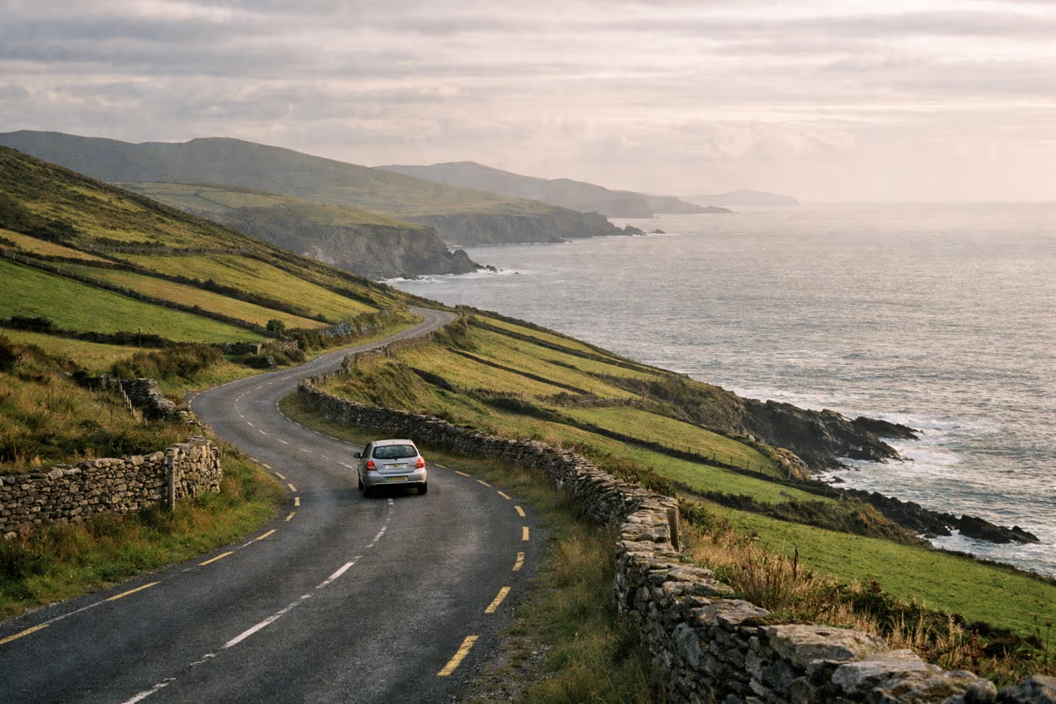
The Ring of Kerry is a 179 km (111-mile) loop around the Iveragh Peninsula in southwest Ireland. The biggest mistake you can make when planning this drive is trusting the quoted “3.5 hours” figure. That’s the nonstop time, and it’s almost useless if you want to actually see anything. A proper day with stops for viewpoints, a stone fort or two, and a sit-down lunch will take 7 to 10 hours from door to door (1). This guide walks through the full route, which stops are worth your time, which direction to drive, how to handle the season and coach traffic, and whether one day is enough or you should split it over two.
How to Get to the Ring of Kerry
The Ring of Kerry starts and ends in Killarney, which is the main access point for the loop. Killarney is served by train from Dublin (about 3.5 hours on the Cork-Tralee line) and Cork (about 1.5 hours), and by Bus Éireann from Dublin and Cork. If you’re flying in, Kerry Airport is 15 km north of Killarney and handles domestic and some UK routes; Cork Airport is about 90 km east and offers wider international connections. From either airport, a rental car is the practical choice - the Ring of Kerry is a driving route, and public transport within the loop is limited to guided coach tours. Renting in Killarney rather than at a larger airport saves you a positioning drive and puts you at the loop’s starting point.
What the Ring of Kerry Actually Is (and What It Isn’t)
The Ring of Kerry is a 179 km (111-mile) circular drive around the Iveragh Peninsula in County Kerry. It follows the N71 out of Killarney to Kenmare, then the N70 loops around the coast back to Killarney (1). Most visitors start and finish in Killarney, keeping the entire loop within County Kerry.
What sets it apart is the variety packed into a single loop. You’ll cross mountain passes like Moll’s Gap, drive along Atlantic coastline near Waterville and Cahersiveen, visit Iron Age ring forts, stroll sheltered beaches, and pass through a string of small towns. It’s not about one headline attraction but a day of changing landscapes. Overland Ireland describes it as “drawing a wobbly circle around the Iveragh Peninsula” and credits its reputation to the concentration of notable sights in a relatively compact stretch of southwest Ireland.
The geography is straightforward: mountains inland, the Atlantic Ocean to the west and south, and a sheltered bay to the north facing the Dingle Peninsula. The Ring is one of the busiest segments of the Wild Atlantic Way, a 2,500 km coastal route along Ireland’s west coast.
One common confusion to clear up: the Cliffs of Moher are not on the Ring of Kerry. They’re in County Clare, about 190 to 220 km north of Killarney - roughly a 2.5 to 3-hour drive in the opposite direction. If you want to see both, plan at least two separate days.
✓ Pros
- Genuinely varied scenery in a single loop (mountains, coast, villages, beaches)
- Flexible - works as a day trip or a multi-day base
- Well-signed and navigable without specialist driving skills
- Multiple detour options (Skellig Ring, Valentia Island) for those with extra time
✗ Cons
- Summer coach traffic can be heavy, especially counter-clockwise
- 179 km sounds manageable until you add stops - time is routinely underestimated
- Narrow sections on detours require comfort with rural Irish roads
- Peak-season parking at major viewpoints fills by mid-morning
The Route - Distance, Direction, and the Clockwise Question
The full Ring of Kerry drive is a 179 km loop on the N71 and N70, typically driven clockwise through Killarney, Kenmare, Sneem, Caherdaniel, Waterville, Cahersiveen, Glenbeigh, and Killorglin before returning to Killarney (1). Starting clockwise from Killarney, you head south on the N71 to Kenmare, then follow the N70 around the peninsula, returning via the N72.
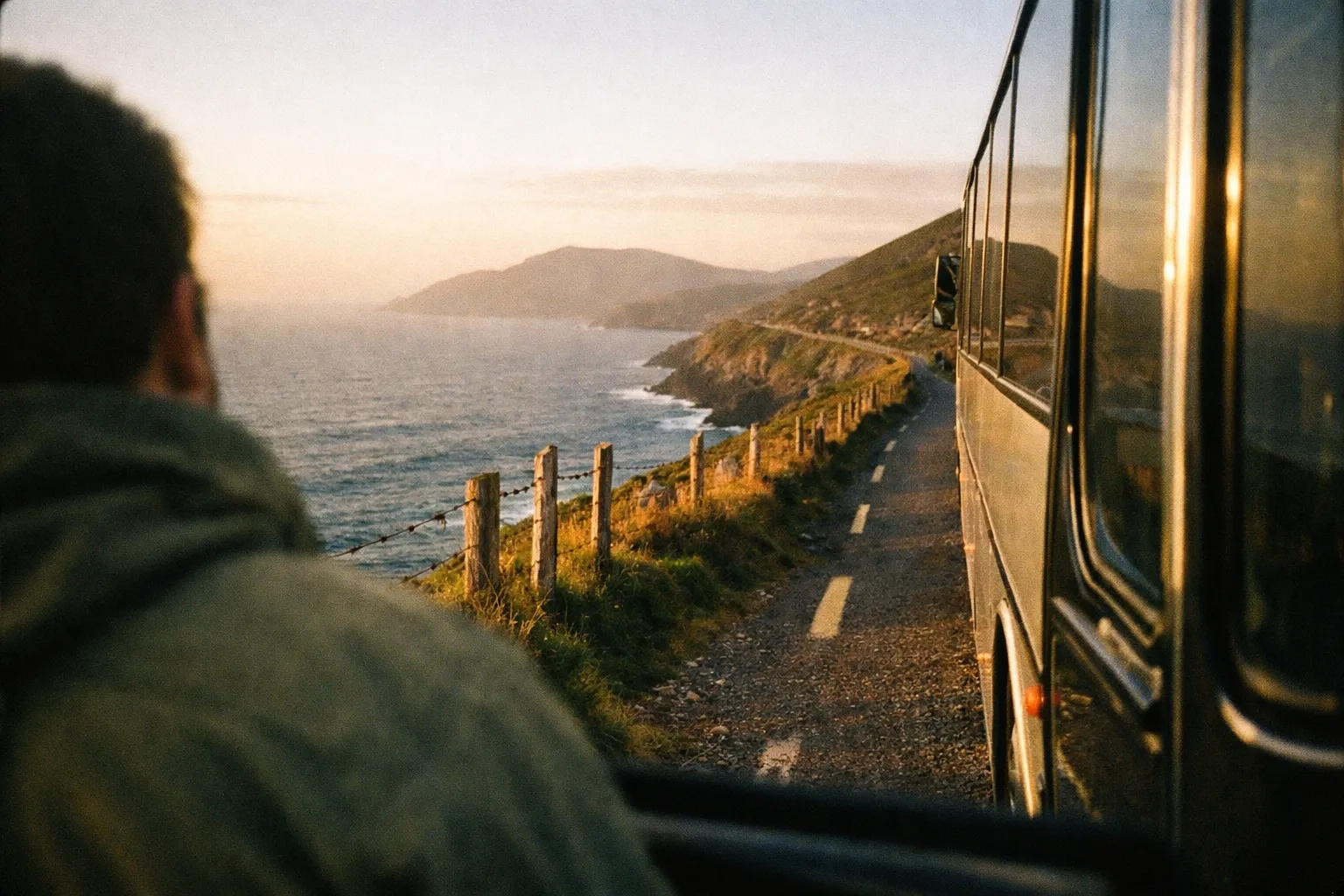
Here’s a realistic breakdown of driving times without stops - something many guides skip:
- Killarney to Kenmare: about 45 minutes via the N71, passing through Moll’s Gap
- Kenmare to Sneem: about 25 minutes
- Sneem to Waterville: about 35 minutes
- Waterville to Cahersiveen: about 30 minutes
- Cahersiveen to Glenbeigh: about 30 minutes; add more if you take the Skellig Ring detour
- Glenbeigh to Killorglin to Killarney: about 40 minutes
The roads are mostly two-lane rural blacktop in decent condition. Some detours narrow to single-track. Compact cars handle everything comfortably; large campervans struggle on tight village streets and narrow spurs. If you’re renting, choose smaller than you think you need.
Clockwise vs. Counter-Clockwise - Which Direction to Drive
Most coach tours run counter-clockwise, starting Killarney to Killorglin, then looping around to Kenmare and back. That’s the key factor in choosing direction. According to Love Irish Tours, most independent drivers go clockwise, heading toward Kenmare first, precisely to avoid being stuck behind buses for long stretches.
Clockwise has a second advantage: you reach the dramatic western coast near Waterville and Cahersiveen in the afternoon, when the light on those west-facing views is often better. The route is the same either way - so it’s a crowd-management decision more than a scenery one. If you’re driving in summer, clockwise is the safer bet.
One practical tip before you set off: download offline maps. Mobile data is patchy on the western stretch between Waterville and Cahersiveen, so save your key waypoints - Torc Waterfall, Ladies View, Waterville, Portmagee - while you still have signal in Killarney.
How Long It Takes - Realistic Time Estimates for Every Type of Trip
Realistically, a Ring of Kerry day trip takes 7 to 10 hours door to door once you factor in 8 to 12 stops and a meal - even though the nonstop drive is only 3 to 3.5 hours (2). That gap between the two numbers causes most rushed, disappointing itineraries.
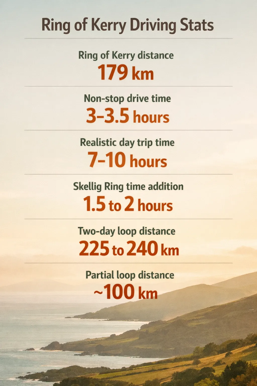 Ring of Kerry loop distances and driving times: 179 km loop; nonstop 3-3.5 hours; realistic day 7-10 hours; Skellig Ring adds 1.5 to 2 hours; two-day loop 225 to 240 km; partial loop ~100 km.
Irish Road Trip recommends allowing at least 7 hours to get out and explore properly, describing a full day with stops as 7 to 10 hours (1). Cultured Voyages agrees, putting the non-stop drive at 3 to 3.5 hours but calling 7 to 10 hours a fair estimate for sightseeing. IAMOFKERRY notes the 179 km loop takes 3.5 hours without stops but usually 6 to 8 hours with major sights, and many travelers suggest two days or more.
Here’s how it breaks down by trip type:
- Express version: limited stops, two or three viewpoints, one meal - about 6 hours minimum
- Full day trip: 8 to 12 stops including a sit-down meal - 7 to 10 hours
- Multi-day: 1.5 to 2 days for a relaxed pace; 3 days if you add hikes, the Skellig Ring, and heritage sites
- Partial loop: if you only have 4 to 5 hours, choose either the Killarney-Kenmare-Sneem southern arc or the Killarney-Killorglin-Glenbeigh northern arc - each around 100 km with about 2 hours driving without stops. Both offer strong scenery but skip the western coast
No matter what, leave Killarney before 8:00 or 9:00 a.m. This advice appears in nearly every guide for good reason - it helps you beat coach traffic and secure parking at popular early viewpoints.
One Day vs. Two Days - What You Can Realistically Cover
One day works. It’s not ideal, but doable if you keep your stops disciplined. You can cover the full 179 km loop, hit 6 to 10 stops, and fit in one proper meal. The catch: if you linger 90 minutes at your first stop, you’ll be rushing the rest of the day.
Two days changes everything. You get to add the Skellig Ring - a roughly 50 km extension - plus Valentia Island, more time in Waterville or Sneem, and space for a hike. Total distance rises to about 225 to 240 km, but the pace drops to something you’d call relaxing. The case for two days is stronger than most guides admit. One day is doable; two is better.
For a quick comparison: the express day trip covers 179 km in roughly 6 hours with two or three viewpoints and lunch, best for tight schedules. The full day trip covers the same distance over 7 to 10 hours with 8 to 12 stops, suitable for most self-drivers. The two-day loop stretches to 225 to 240 km spread across two days, including the Skellig Ring. The partial loop runs about 100 km in 4 to 5 hours with three to five stops - the right choice if your time is limited.
Trip Length Options
| Express day trip | Full day trip | Two-day loop | Partial loop | |
|---|---|---|---|---|
| Distance | 179 km | 179 km | 225-240 km | about 100 km |
| Drive Time | about 6 hours total | 7-10 hours total | Spread over 2 days | 4-5 hours total |
| Stops | 2-3 viewpoints + lunch | 8-12 stops | All major stops + Skellig Ring | 3-5 stops |
| Best For | Tight schedules | Most self-drivers | Relaxed pace | Very limited time |
Key Stops on the Route - What to Prioritize
There are more stops on the Ring of Kerry than one day can handle. The goal is to pick a coherent handful rather than sprint through everything. What follows is in clockwise order so you can map it directly onto the route. Each stop is flagged as worth the detour or skip if short on time - because equal-weight lists are how you end up rushing Waterville to catch a fort you didn’t really need.
Killarney and Killarney National Park
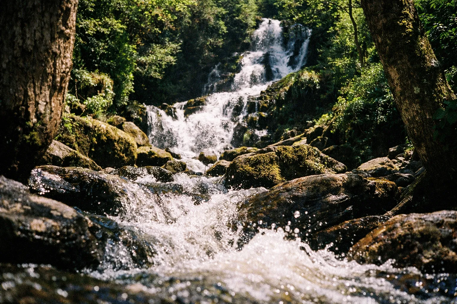
Killarney National Park covers over 10,000 acres (about 40 km²) and includes several of the best early stops. Muckross House is a Victorian mansion with gardens and traditional farms inside the park; a typical visit runs 1.5 to 2 hours. Torc Waterfall is a short walk from its car park and deserves 30 to 45 minutes, but parking fills fast, so arrive early. Ladies View, an elevated viewpoint on the N71 toward Kenmare, was named for Queen Victoria’s ladies-in-waiting and is worth the pull-off.
Moll’s Gap, a mountain pass on the N71 between Killarney and Kenmare, is worth a brief stop for views south toward the Kenmare River estuary - worth the detour if you’re moving at any kind of pace. If you plan to do Muckross House and the park properly, budget 1.5 to 2 hours; Torc Waterfall alone takes about 30 to 45 minutes. Skip Muckross House if you’re on a tight single-day schedule - the exterior and grounds are free and take 20 minutes; the interior tour adds an hour you may not have.
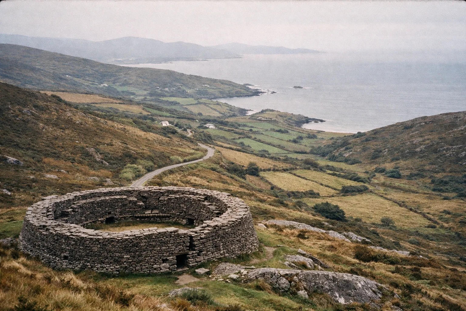
Staigue Fort (near Caherdaniel, about 3 km off the N70) is worth the detour for anyone with even passing interest in early archaeology - walls up to 5.5 m high, in remarkable condition, and usually quiet. Derrynane House is worth the detour if you have cultural interest in Daniel O’Connell; skip it if you’re purely after scenery. The Skellig Ring is worth the detour on a two-day itinerary; skip it on a single day unless you’re willing to cut two or three other stops entirely.
Kenmare
Kenmare is a tidy, compact town with genuinely good food - the most practical lunch stop if you’re driving clockwise. There’s an ancient stone circle on the edge of town, one of the largest in southwest Ireland. Allow 25 to 30 minutes for coffee and a walk, longer if you eat here. The town has won Ireland’s Tidy Towns award multiple times, and it shows.
Sneem and Caherdaniel
Sneem is a colorful village centered on two small squares - a solid spot for a short break. A few kilometers off the main road sits Staigue Fort, an Iron Age dry-stone ring fort in remarkable condition. According to Fáilte Ireland, its walls are up to 5.5 m high and 4 m thick. It lies about 3 km off the N70. Count on a 30 to 45-minute detour, worth it if you have any interest in early archaeology.
Caherdaniel is the gateway to Derrynane House, where Daniel O’Connell, the 19th-century campaigner known as “the Liberator,” lived. Nearby Derrynane Beach is one of the most sheltered beaches on the route.
Waterville and Cahersiveen
Waterville is a small seaside town facing the Atlantic. Charlie Chaplin holidayed here regularly - there’s a statue on the seafront - and the seafood is good. The coastal views along this stretch are the strongest on the loop. Cahersiveen is the largest town on the western side and the gateway to Valentia Island and the Skellig Ring. Ballinskelligs, a short detour south, has a ruined abbey and a quiet beach.
Rossbeigh Strand and Glenbeigh
Rossbeigh Strand is a long sand spit projecting into Dingle Bay near Glenbeigh. Discover Ireland notes it runs 6 to 7 km and ranks among the most extensive beaches on the northern side of the Ring. It’s usually quieter than the southern beaches and worth 30 to 45 minutes. Glenbeigh itself is mostly a fuel and food stop, but the views toward the Dingle Peninsula from this northern stretch are worth slowing down for.
Killorglin
Killorglin is the last major town before closing the loop back to Killarney. It’s home to the Puck Fair, one of Ireland’s oldest festivals held every August. Practically, it’s a fuel and food stop - 20 to 30 minutes is enough unless you’re staying overnight.
The Skellig Ring - When to Add It and When to Skip It
The Skellig Ring is a roughly 50 km (31-mile) loop branching off near Cahersiveen, running through Portmagee and Ballinskelligs before rejoining the main route. It adds about 1.5 to 2 hours of driving before you even stop.
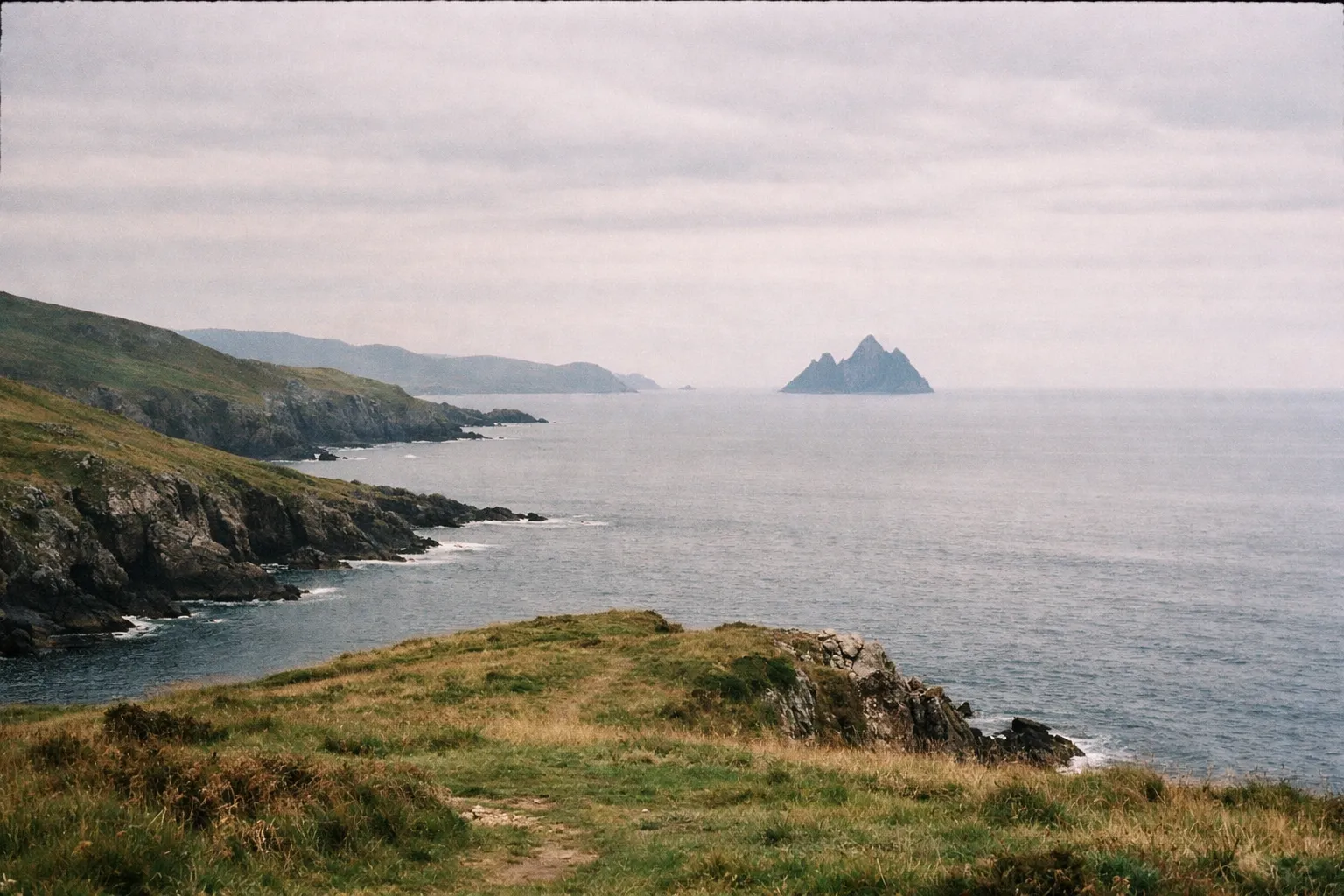
The main draw is the view of Skellig Michael, a UNESCO World Heritage site with early Christian monastic ruins - also known for Star Wars filming. Boat crossings from Portmagee or Ballinskelligs take about 45 to 60 minutes each way, but you don’t need the boat to catch a dramatic view. Mainland lookouts at Portmagee and St. Finian’s Bay are impressive on their own.
Valentia Island is accessible by bridge from the mainland near Portmagee, or by a 10-minute car ferry between Renard Point (near Cahersiveen) and Knightstown. The island has a lighthouse, a slate quarry, and a fossil trackway. Most itineraries allow 30 to 60 minutes here.
The honest trade-off: adding the Skellig Ring on a single day pushes total trip time toward 10 to 12 hours once you factor in stops. That’s only realistic with an early start and strict timing. It fits far better into a two-day itinerary. The Skellig Ring road is narrower than the main N70, with common single-track sections - not recommended for campervans.
Best Time to Drive - Season, Weather, and Time of Day
The best months to drive the Ring of Kerry are April-May and September-October. The weather is still reasonable, but coach traffic thins out compared to the June-August peak. Cultured Voyages points to these shoulder months as the sweet spot, and for most self-drivers, that’s the honest recommendation.
The route is driveable year-round - it doesn’t close seasonally - but the experience shifts:
- June to August: longest daylight hours help with a 7 to 10-hour day, but this is when coach traffic and parking pressure peak. Mid-morning arrivals at Torc Waterfall or Ladies View in July often mean 20-plus minutes hunting for parking.
- April-May and September-October: fewer coaches, decent weather, good light - practical sweet spot.
- November to March: quiet, sometimes dramatic light, empty viewpoints - but short days. Sunset as early as 4:30 p.m. limits your window, and some smaller cafés and guesthouses close for the season.
Whatever time of year, start before 8:00 to 9:00 a.m. This is the most consistent advice across sources and holds true: parking at Torc Waterfall and Ladies View fills by around 10:30 a.m. in summer.
On weather - Kerry is wet. Met Éireann records County Kerry averaging 1,200 to 1,500 mm of rain annually, spread fairly evenly. Rain is possible any time of year. Pack a waterproof layer regardless of the forecast. The upside: the light after rain is often the best you’ll get all day.
A Quick Season Summary
- Spring (Apr-May): quiet and green, most businesses open
- Summer (Jun-Aug): maximum daylight but maximum crowds; early starts essential
- Autumn (Sep-Oct): best balance - low traffic, warm enough, dramatic skies
- Winter (Nov-Mar): for experienced drivers who don’t mind short days and some closures
Practical Driving Tips Before You Leave Killarney
A few things save time and stress on this route, mostly before you start driving.
Driving on the left. If you’re used to driving on the right, the first hour on narrow rural roads is the steepest adjustment. Take it slow, use passing bays properly, and don’t feel pressured to match local speeds.
Vehicle choice. Compact cars handle the whole route comfortably. Large campervans and motorhomes struggle on tight village streets and the Skellig Ring’s single-track sections. Rent small.
Fuel. Fill up in Killarney before you leave. Overland Ireland notes drivers commonly refuel in Killarney, then rely on Kenmare, Cahersiveen, and Killorglin for the next stops. Don’t count on fuel stations in smaller villages.
Navigation. Download offline maps - Google Maps or Maps.me - before you go. Mobile reception on the western stretch between Waterville and Cahersiveen is unreliable. Pre-save key waypoints (Torc Waterfall, Ladies View, Waterville, Portmagee).
Parking. Major viewpoints have signed car parks, but they fill fast in summer. Arrive before 10:00 a.m. at Torc Waterfall and Ladies View. Waterville and Sneem have street parking generally manageable outside peak hours.
Coach awareness. If you get stuck behind a convoy of coaches, pull off at the next viewpoint and let them pass. Coaches move slowly and stop in groups. This is not a race - trying to overtake on narrow bends is where accidents happen.
How to Plan a Ring of Kerry Day Trip (Step by Step)
About 10 hoursFollow these steps to organize your day trip efficiently and avoid common pitfalls.
- 1
Decide your direction
Choose clockwise (Kenmare first) to dodge coaches, or counter-clockwise for the northern coastal approach.
- 2
Choose your stops in advance
Pick six to eight stops maximum; mark which are essential and which are optional.
- 3
Download offline maps
Pre-save key waypoints before leaving your accommodation to avoid navigation issues.
- 4
Fill up with fuel
Top off your tank in Killarney before starting the loop.
- 5
Leave early
Depart before 8:00 to 9:00 a.m. to beat parking and traffic congestion.
- 6
Plan a sit-down meal
Kenmare or Waterville are practical meal stops on a clockwise route.
- 7
Track your time at stops
Avoid spending too long at the first stop to prevent rushing later.
- 8
Return with daylight to spare
Aim to finish before dark to navigate unfamiliar roads safely.
Staying Overnight - Accommodation Options Along the Route
Killarney is the most practical base for a single-day loop. Overland Ireland notes it has the largest concentration of hotels, B&Bs, and restaurants in County Kerry and sits at the eastern gateway to the loop, which is why most tours start and end there. It’s a tourist town, and summer prices reflect that.
Kenmare is the alternative preferred by experienced drivers - Rick Steves among them. It’s smaller, quieter, well-placed for a clockwise start, and a repeat winner of Ireland’s Tidy Towns award. Accommodation ranges from B&Bs to mid-range hotels.
For a two-day loop, Waterville and Sneem both work as midpoint bases. Discover Ireland markets both for splitting the Ring into two days. They have guesthouses and small hotels, with Waterville particularly known for its seafood scene. Killorglin is a less touristy option for the northern section, about 20 minutes from the route start.
One booking note: summer accommodation along the route, especially in Kenmare and Killarney, books out weeks ahead. Shoulder seasons (April-May and September-October) are easier to book at short notice. If you’re planning a broader trip around southwest Ireland, the best cities to visit in Ireland - including Cork - make natural starting or ending points for a Kerry itinerary. No reliable current price data is available here, so check rates directly with providers or booking platforms before committing.
Frequently Asked Questions
Frequently Asked Questions
- How long does it take to do the Ring of Kerry?
- Non-stop driving takes roughly 3-3.5 hours. A realistic day trip with stops and a meal runs 7-10 hours. Add the Skellig Ring for 10-12 hours or split over two days.
- What is so special about the Ring of Kerry?
- The loop combines mountain passes, Atlantic coastline, ancient forts, sheltered beaches, and small towns, offering varied landscapes in one drive.
- What should you not miss on the Ring of Kerry?
- Prioritize Ladies View, Torc Waterfall, the coastal stretch between Waterville and Cahersiveen, Rossbeigh Strand, and the Skellig Ring detour if time allows.
- Does the Ring of Kerry include the Cliffs of Moher?
- No. The Cliffs of Moher are in County Clare, roughly 2.5 to 3 hours north of Killarney, and not part of the Ring of Kerry route.
- Is the Ring of Kerry drive difficult?
- The roads are mostly two-lane and in good condition, but narrow sections and single-track detours require cautious driving, especially for visitors used to right-hand driving.
- Can you do the Ring of Kerry without a car?
- Yes. Daily guided coach tours cover the full loop with fixed stops. Cycling is possible but requires multiple days and good fitness.
- What's the best base for driving the Ring of Kerry?
- Killarney is the most practical base with wide accommodation options; Kenmare offers a quieter, more local feel; Waterville or Sneem suit two-day itineraries.
- When should you avoid driving the Ring of Kerry?
- Avoid mid-summer between 10 a.m. and 3 p.m. due to coach traffic and parking pressure. Early starts mitigate congestion; winter days are short but manageable.
What Actually Determines Whether the Trip Works
Two decisions matter more than any stop on the list: how much time you truly have, and which direction you drive. Get those right, and the rest falls into place.
If you have one day, go clockwise, leave Killarney before 9:00 a.m., pick six to eight stops, and skip the Skellig Ring unless you’re willing to cut elsewhere. That itinerary works without leaving you rushing the western coast in fading light.
If you have two days, add the Skellig Ring and Valentia Island - they’re worth the extra time, and a two-day pace turns a good drive into a relaxed one. Either way, the route rewards early starts and punishes overpacked schedules. For more ideas on how to fill out a week in the region, the hidden gems and classics guide covers a balanced itinerary that pairs well with the Ring. Plan for fewer stops than you think you want, and give the ones you keep the time they deserve.