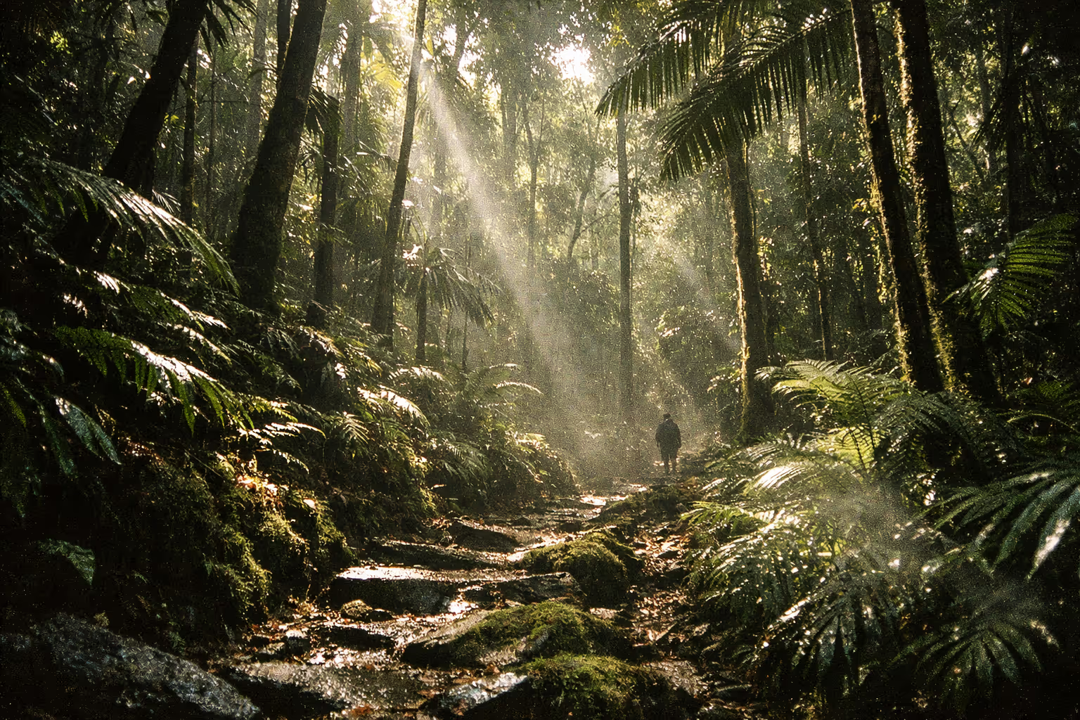
El Yunque National Forest gets more than 100 inches of rain a year in some areas, and over 200 inches at the higher peaks (2). That’s not a warning. That’s the whole point. This is the only tropical rainforest in the entire U.S. National Forest System, sitting about 25 miles (40 km) southeast of San Juan (5) - which means a real rainforest with real rain, real mud, and real rewards if you plan it right. This guide covers the trails, the waterfalls, the wildlife, the logistics, and the parts most guides skip.
El Yunque sits in the Luquillo Mountains of northeastern Puerto Rico, spanning nearly 29,000 acres (roughly 11,500 hectares) with peaks rising to 3,533 ft (about 1,077 m) (2)(5). The drive from San Juan runs 45 to 75 minutes depending on traffic. The forest draws hundreds of thousands to over a million visitors a year (9), so the single most useful thing to internalize before you go is this: arrive early, or accept the crowds.
✓ Pros
- The only tropical rainforest in the U.S. National Forest System
- 25 miles from San Juan, viable as a half-day trip
- No large predators and no venomous snakes
- Multiple waterfalls and natural pools reachable on short hikes
- Extraordinary biodiversity: 240+ tree species, coquí frogs, endemic birds
- Historically free to enter the forest itself (a $4 per person daily recreation pass covering El Portal and the PR-191/La Mina corridor has been proposed but not yet implemented, per the U.S. Forest Service fee proposal Q&A - verify current status at fs.usda.gov before you go)
✗ Cons
- Extremely popular; crowds at the main falls and trailheads
- No developed campgrounds; dispersed camping is permit-only
- Rain is constant, and trails get slippery and muddy fast
- Afternoon storms cut visits short; the forest closes in the evening
- Parking is limited at popular trailheads and fills early
- Post-hurricane trail conditions change without much notice
What Makes El Yunque National Forest Different From Any Other U.S. Forest
El Yunque National Forest is the only tropical rainforest in the entire U.S. National Forest System, which alone makes it worth planning a trip around (2). No other unit in the system offers this ecosystem. The rugged Luquillo Mountains rise to 3,533 feet above sea level, with steep slopes that can receive over 200 inches of rain per year at higher elevations (2).
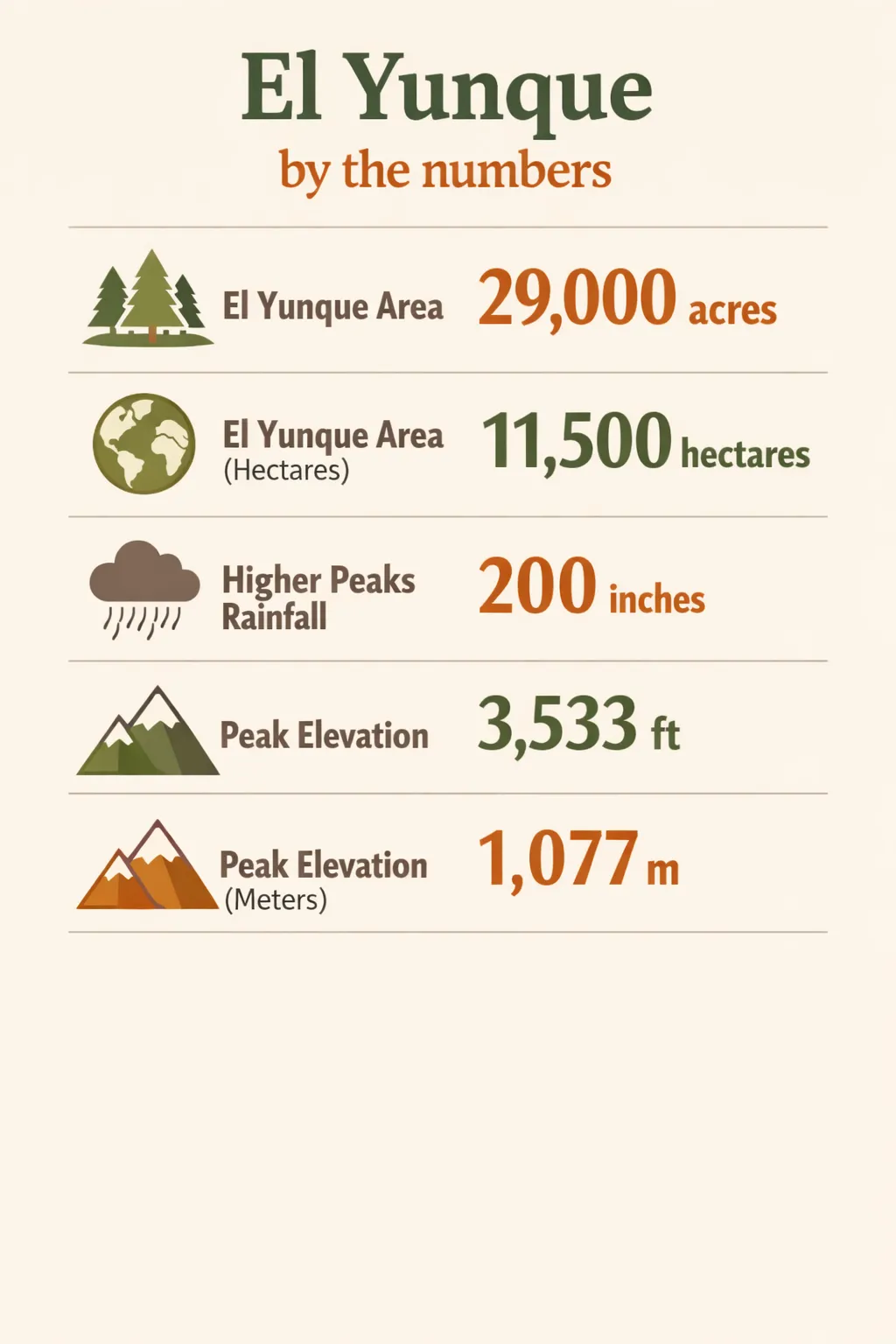 El Yunque spans 29,000 acres (11,500 ha), with up to 200 inches of rain at high elevations, and a peak at 3,533 ft (1,077 m).
The forest spans eight municipalities: Río Grande, Luquillo, Canóvanas, Fajardo, Naguabo, Ceiba, Las Piedras, and Juncos. That reach matters when you’re figuring out access points and lodging. It has been a UNESCO Biosphere Reserve since 1976 and doubles as the Luquillo Experimental Forest - an active tropical research site, not just a recreation area.
The protection history runs deep. El Yunque’s formal protection dates back to the Spanish colonial period in the 19th century, making it among the longer-protected forest areas in the hemisphere - though exact rankings vary by source. Eight major rivers originate here, supplying fresh water to nearly 20% of the island’s population. Despite its relatively small footprint of about 29,000 acres, the forest provides close to a fifth of Puerto Rico’s fresh water (2).
One practical caveat before you build an itinerary: the forest is still recovering from Hurricane Maria (2017) and subsequent storms. Trail and road conditions continue to change. Check current Forest Service alerts before you drive out, because a waterfall or trail that was open last season may not be open when you arrive.
Biodiversity You’ll Actually Notice on the Trail
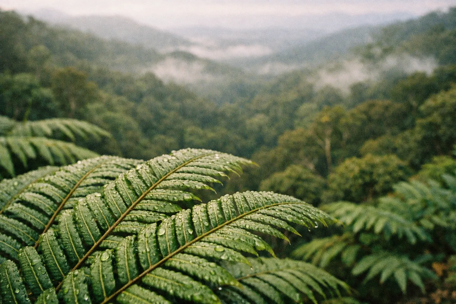
El Yunque hosts over 240 species of trees, more than 150 species of ferns, and at least 50 species of orchids, packed into a forest smaller than many single U.S. wilderness areas (2). That density is the thing you actually register on the trail - the canopy is layered, the understory is thick, and something is growing on almost every surface.
The two animals you’ll genuinely notice are the Puerto Rican parrot and the coquí frog. The Puerto Rican parrot (Amazona vittata) is critically endangered and one of the rarest birds in the world. The coquí frog is the soundtrack of the forest; you’ll hear its two-note call long before you ever see one, and after dark it’s everywhere. The forest holds over 200 vertebrate species, including various warblers and hummingbirds.
Are there jaguars in El Yunque? No. There are no jaguars, no large predators, and no venomous snakes listed as a common hazard in the forest. This genuinely makes hiking here safer than in many tropical forests. The risks in El Yunque come from terrain and weather, not fauna.
Vegetation shifts with elevation, and you can feel the change as you climb. Four named zones mark the transition: Tabonuco Forest below 2,000 ft, Palo Colorado Forest above 2,000 ft, Sierra Palm Forest above 1,500 ft, and Dwarf (Cloud) Forest near the ridge tops up to about 3,500 ft. On a longer hike toward the peaks, you move from tall, broad-canopy forest into stunted, moss-draped cloud forest where the trees barely clear head height. It’s a noticeable shift - not just in the vegetation but in the light and the temperature.
Best Times to Spot Endemic Species
Early morning is the window for birds, including the Puerto Rican parrot, when they’re active and the light is still low and soft. Evening and night bring the coquí chorus to full volume. Midday is the least productive time for wildlife: the heat pushes animals into cover, and the crowds push everything else away from the trails. If wildlife is your priority, be at a trailhead by 7:30 a.m. or plan a permitted evening walk.
The Main Trails: Distances, Elevation, and Honest Difficulty Ratings
El Yunque’s trail network ranges from short, paved interpretive walks to full-day ridge routes climbing toward the 3,533 ft peaks. Most visitors stick to the corridor along PR-191, and that concentration is exactly why the famous trails feel crowded while quieter routes sit nearly empty.
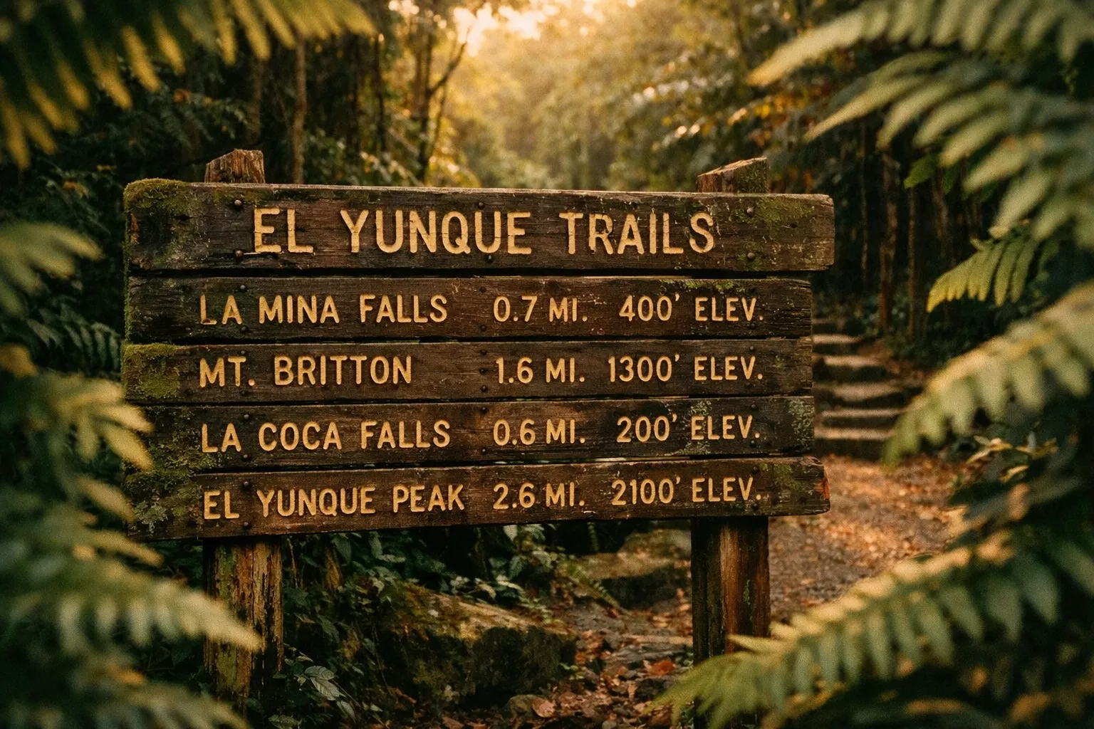
Main Trails in El Yunque National Forest
| La Mina Trail | Big Tree Trail | Mount Britton Trail | El Yunque Trail | El Toro Trail | |
|---|---|---|---|---|---|
| Distance | 0.7 miles (1.1 km) one-way | Short, flat | 0.2 miles (0.3 km) | Longer route | Full-day route |
| Elevation Gain | Low | Minimal | Moderate to high | Significant | High |
| Difficulty | Easy | Easy | Easy but steep | Moderate to hard | Hard |
| Crowd Level | High | Moderate | Moderate | Low | Very low |
| Key Feature | Leads to La Mina Falls with natural pool | Family-friendly, connects to La Mina Falls | Mount Britton Tower with ridge views | Climbs to El Yunque Peak through cloud forest | Accesses El Toro Wilderness, highest peak |
Trails for Families and Casual Hikers
Stick to La Mina, Big Tree, and the short interpretive loops. Big Tree is flat and shaded, and it links to La Mina Falls, so a family can reach a real waterfall without a punishing climb. Expect wet, slick sections regardless of trail difficulty; even the paved stretches get greasy after rain. With kids, budget more time than the mileage suggests and keep an eye on the river channels.
Trails for Experienced Hikers
El Toro and the El Yunque Peak routes are where the forest gets demanding. The El Toro Wilderness designation means minimal trail maintenance, no facilities, and a genuine backcountry experience: you’re responsible for navigation, water, and getting yourself out. These routes need an early start, a real weather window, and full gear. Cloud forest near the top can be cold and disorienting when the mist rolls in.
Trail conditions change post-storm. Always verify with the Forest Service before heading out, because a route that’s open on paper may be closed on the ground.
Waterfalls Worth Hiking To (and One to Skip If Crowds Bother You)
La Mina Falls is the most visited waterfall in El Yunque, reachable via either the La Mina Trail or the Big Tree Trail, with a natural pool at the base where swimming is popular (3). It’s also the most crowded spot in the forest by a wide margin. By mid-morning on a weekend, the pool is packed and the trail is a conga line. Access has been restricted at various points since Hurricane Maria in 2017, so this is the one waterfall you should verify before building your whole day around it.
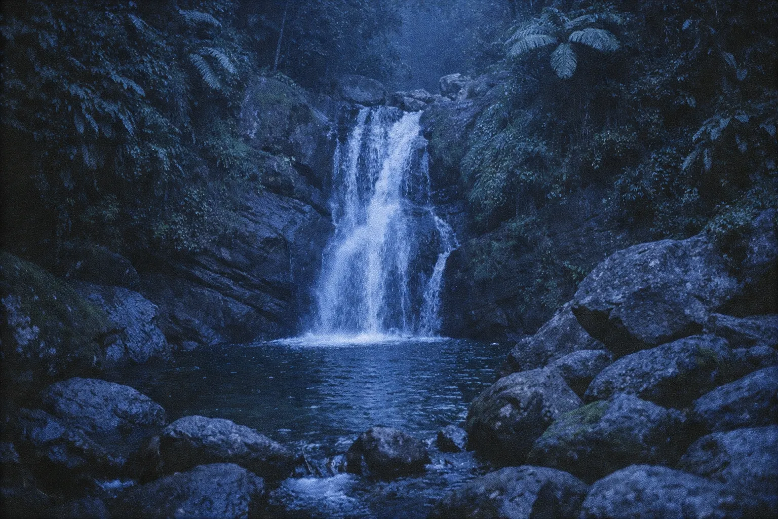
For a quieter alternative, head to the Juan Diego area off PR-191, which sees far less traffic and is worth the detour for anyone who wants a waterfall without the crowd (3). The tradeoff is that it’s less developed and less obviously signed.
The forest is laced with rivers and streams, and the National Wild and Scenic Rivers System designation covers the Mameyes, La Mina, and Icacos Rivers. Some swimming spots along these are informal and not officially promoted. Stick to areas the Forest Service designates as safe rather than freelancing based on what looks inviting.
For photography, morning light is better and you’ll have the falls largely to yourself before 9 a.m. After that, both the light and the solitude are gone.
Swimming at the Falls: What’s Safe and What’s Not
The two real hazards are slippery rocks and rising water. Rocks near the falls are consistently slick, and the forest is the headwaters for six major rivers with rainfall averaging around 152 inches annually - which means water levels can rise fast after heavy rain. A calm pool can become a dangerous channel within 15 to 30 minutes of an upstream downpour. The rule is simple: don’t cross a rising river, stick to designated swimming areas, and check advisories at the visitor center on the day you go.
Getting to El Yunque National Forest and Getting Around Once You’re There
El Yunque sits about 25 miles (40 km) from metropolitan San Juan, reachable primarily via PR-3 and PR-191, which makes it a realistic 45 to 75 minute drive for a day trip (5). The recommended navigation approach is to drive from San Juan via PR-66 to PR-3 and then PR-191, setting your GPS to “El Portal Visitor Center, PR-191 Río Grande, PR 00745.”
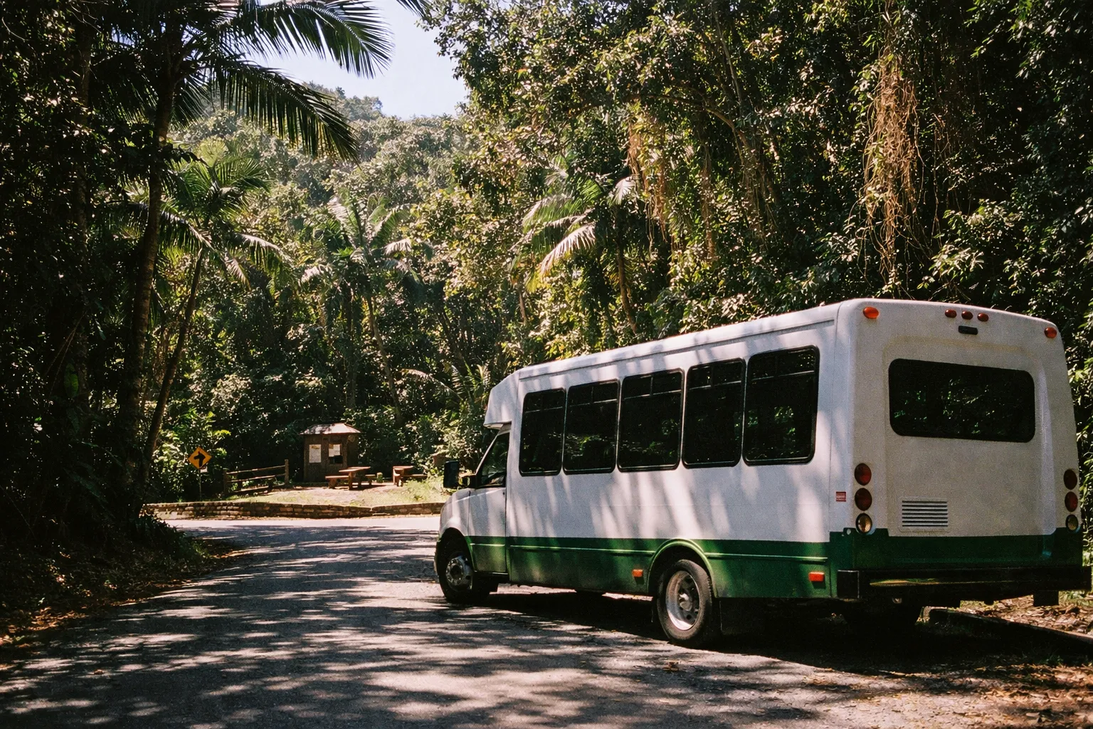
The forest is open every day except Christmas, with hours running roughly 7:30 a.m. to 5:00 p.m. This matters more than it sounds. Between the afternoon storms and the closing time, arriving late is a genuine problem: you’ll be racing weather and the gate at the same time.
Parking is limited at the popular trailheads, and the La Mina corridor fills fast. Arrive by 8 a.m. on weekends or expect to wait, or walk in from overflow areas.
El Portal Visitor Center is the main orientation point for maps, current trail conditions, and interpretive exhibits. Stop here first. Note that the visitor center has charged a separate entry fee for the center itself even when the surrounding forest is free, so budget for that if you plan to go in.
Transportation is essentially private vehicle or guided tour. There’s no meaningful public transit to the trailheads, so a rental car is the practical default.
Reservations and Entry: What’s Currently Required
Can I visit El Yunque without a reservation? It depends on current Forest Service policy, which shifts seasonally. A timed-entry reservation system has been in effect for the main road (PR-191), and some visitors have been turned away without an advance timed-entry booking. Some days and times require booking through recreation.gov; others don’t. Check recreation.gov or fs.usda.gov within a week of your visit, and don’t assume you can wing it on a busy weekend.
On cost: the forest itself has historically been free to enter. The U.S. Forest Service has proposed a $4 per person daily recreation pass covering El Portal and the PR-191/La Mina corridor, per the Forest Service’s own fee proposal Q&A at fs.usda.gov, but it has not yet been implemented and timelines have shifted - verify the current status at fs.usda.gov before you go. The El Portal Visitor Center may charge separately.
Guided Tours vs. Self-Guided: Which Makes More Sense
A guided tour removes the two biggest logistical headaches: parking and the reservation gamble. Tours typically include transport from San Juan or the coast, which means you skip the 8 a.m. parking scramble entirely, and a guide adds real value on wildlife spotting and context you’d otherwise miss. Some tours include any applicable entry fees in their pricing.
Self-guided is perfectly fine if you have a rental car, arrive early, and have sorted your reservation in advance. Choose the tour if the logistics stress you out or you want the interpretation; go self-guided if you value flexibility and an early start.
What to Pack for a Rainforest That Actually Rains
Rain here is structural, not occasional. The U.S. Forest Service reports average annual rainfall of about 200 inches (500 cm) at the higher peaks, with showers that are often short but intense (5). Pack for rain every single visit, even in the so-called dry stretches.
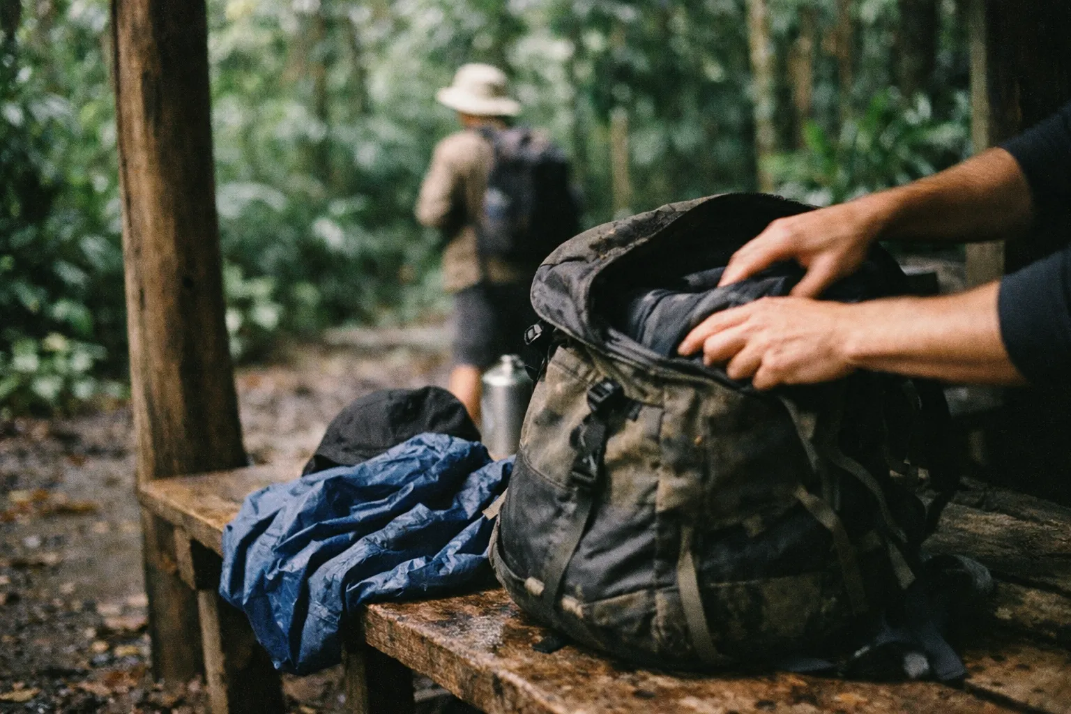
Footwear is the most important decision you’ll make. Go with closed-toe shoes or boots with aggressive tread. Running shoes on wet roots are a genuine slip hazard and an ankle-injury risk. A smart strategy is main-trail footwear plus a separate pair of grippy water shoes or sandals for waterfall crossings, so your boots stay dry.
The gear that actually matters:
- Waterproof layer - a light rain jacket or packable shell, not optional. A poncho works but limits movement on steeper trails.
- Quick-dry clothing - synthetic or merino. Cotton stays wet and cold, and cold matters more than you’d think. The Forest Service records average daily temperatures around 65.3°F (18.5°C) above 3,280 ft, versus 77.9°F (25.5°C) in the lowlands (5), so the peaks are genuinely cool when you’re wet.
- Water - 2 to 3 liters per person. Heat, humidity, and elevation add up to more than you expect.
- Phone protection - a waterproof case or dry bag. Not a luxury when it rains this much.
- Trekking poles - worth it for El Toro and the higher routes; optional for La Mina.
- Sunscreen and insect repellent - sunscreen for the exposed ridge sections, repellent for the damp lowland stretches.
What to skip: heavy mountaineering boots for the short trails are overkill, and an umbrella is useless on a muddy trail where you need both hands.
Safety, Hazards, and the Risks Competitors Don’t Mention
The reassuring part first: no large predators, and no venomous snakes are listed as a common hazard in the forest. El Yunque is genuinely safer on the wildlife front than most tropical forests. The dangers here are terrain and water.
Landslides are the big one. The forest’s climate is tropical maritime with about 152 inches of annual rainfall on steep mountain terrain - conditions that produce frequent landslides after intense storms. Check Forest Service notices before you visit, and avoid steep, unstable slopes after heavy rain.
Flash flooding is the second. With eight rivers originating in the forest and over 200 inches of rain annually feeding steep channels, water rises fast, often within 15 to 30 minutes of an upstream downpour. The turn-around rule is non-negotiable: if a river is rising, don’t cross. Wait or retrace your steps.
Hypothermia is a quieter risk. It’s not dramatic, but if you’re soaked and the temperature drops near the peaks, prolonged exposure at higher elevations can genuinely chill you. That’s another argument for quick-dry layers.
Trail closures from hurricane recovery remain a moving target; sections of the forest are still recovering from Hurricane Maria and later storms, and conditions change without warning. Cell coverage is limited in parts of the forest, so download offline maps before you go and photograph the trail map at the visitor center as a backup. Regulations also affect safety: no hunting, restricted wilderness access in El Toro without proper permits, and Forest Service rules on which swimming areas are sanctioned.
Camping, Overnight Options, and Where to Stay Nearby
There are no developed campgrounds inside El Yunque, which surprises a lot of visitors. Dispersed camping is permitted in designated areas by permit only, and you arrange that by contacting the Forest Service directly, well in advance. The El Toro Wilderness has its own wilderness regulations on top of that. If you were planning to just show up and pitch a tent, plan differently.
The practical move for most people is to base themselves outside the forest and treat it as a day trip. Two towns work best.
Luquillo sits about 15 to 20 minutes from the main trailheads and pairs a morning hike with an afternoon at Luquillo Beach. It’s a working coastal town with the island’s best-known food kiosks attached - the kind of place where you can eat well for not much money after a long morning on the trail.
Río Grande, reached via PR-66 to PR-3 to PR-191, is the primary gateway near El Portal and offers everything from small guesthouses to resort properties within a short drive of the trailheads.
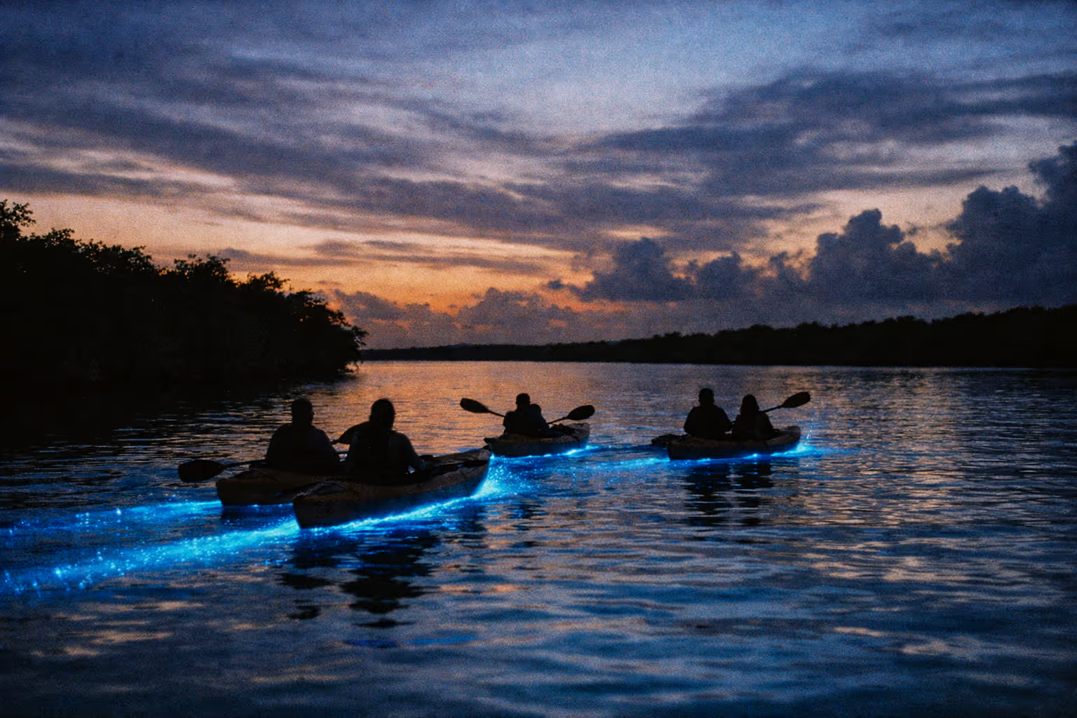
Fajardo, about 30 minutes east, has larger resort options and puts you near the bioluminescent bay at Laguna Grande, which is worth an evening kayak tour on a new moon. San Juan works for a day trip at 45 to 75 minutes out, but only if you leave early enough to beat the parking crunch.
Planning Your Visit: Timing, Itineraries, and How to Avoid the Crowds
The forest is open year-round, but timing changes the experience dramatically. Hurricane season runs June through November and brings heavier rain and storm risk. April is often the sweet spot: the Forest Service notes rain tends to be most frequent in spring and autumn, but April lands in a window with reliable weather, thinner crowds, and lower lodging rates (5).
Best time of day is not a close call. Arrive at or near opening - 7:30 to 8:00 a.m. This is the single most effective crowd-avoidance strategy there is. La Mina Falls before 9 a.m. is a different place than La Mina Falls at 11. Afternoon storms are predictable, so plan to be off the exposed ridges and finishing up by early afternoon.
Half-day itinerary (2 to 4 hours): El Portal Visitor Center, then Big Tree Trail to La Mina Falls, out by noon. Pair it with Luquillo Beach in the afternoon for a full, well-balanced day.
One thing most guides get wrong about El Yunque: they treat it as a waterfall destination with a rainforest backdrop, when the forest itself is the point. La Mina Falls is worth seeing, but visitors who spend their whole visit in the PR-191 corridor miss the elevation change, the cloud forest near the peaks, and the near-total quiet of the El Toro routes. The famous waterfall is the easiest thing to do here, not the best.
I hiked the El Yunque Trail toward the peak on a Tuesday in March - the trailhead had two other cars at 7:45 a.m., and by the time I hit the cloud forest zone the mist had rolled in thick enough to cut visibility to about 30 feet. The temperature dropped noticeably from the lowland trailhead. A rain shell and quick-dry layers were not optional that day.
Full-day itinerary (6 to 8 hours): Early start, La Mina Falls before the crowds, then the El Yunque Trail toward the peak, then the Mount Britton Tower, then back down. Bring the full gear kit and watch the weather.
Serious hiker itinerary: An El Toro Wilderness day. This requires an early start, a wilderness permit, full gear, and a genuine weather window. It’s not a casual add-on.
Two crowd notes. Weekdays are significantly quieter than weekends, and holiday weekends are worth avoiding entirely. The trails away from the PR-191 main corridor see far fewer visitors, so ask at El Portal for current recommendations on quieter routes. Ziplining and canopy tours are available through operators near the forest if you want an adventure activity alongside the hiking.
Frequently Asked Questions About El Yunque
- Can I visit El Yunque without a reservation?
- It depends on current Forest Service policy, which changes seasonally. A timed-entry reservation system has been in place for the main road (PR-191); some days and times require advance booking through recreation.gov, others do not. Showing up without a reservation on a busy weekend can mean being turned away at the gate. Check fs.usda.gov or recreation.gov within a week of your visit for the most current requirements.
- How much does it cost to enter El Yunque?
- El Yunque has historically been free to enter. The U.S. Forest Service has proposed a $4 per person daily recreation pass covering El Portal and the PR-191/La Mina corridor, per the Forest Service's own fee proposal Q&A, but it has not yet been implemented and timelines have shifted - verify the current status at fs.usda.gov before your visit. Some guided tours include any applicable entry fees in their pricing. The El Portal Visitor Center may charge separately for certain programs.
- Are there jaguars in El Yunque?
- No. El Yunque has no jaguars, no large predators, and no venomous snakes - which makes it genuinely safer than many tropical forests. The most notable wildlife you're likely to encounter are the Puerto Rican parrot, various hummingbirds and warblers, and the coquí frog, whose call you'll hear long before you see one. The absence of dangerous fauna is one of the forest's practical advantages for hikers.
- What is the best trail for first-time visitors?
- The La Mina Trail combined with the Big Tree Trail is the standard first-visit route - short, accessible, and ends at La Mina Falls with a natural pool. The tradeoff is crowds; it's the most popular corridor in the forest. If you arrive by 8 a.m., you'll have a much better experience than if you roll in at 11. For something quieter, ask at El Portal for current trail recommendations.
- Can you swim in El Yunque's waterfalls and rivers?
- Swimming is popular at La Mina Falls and some river pools, but it comes with caveats. Water levels rise fast after rain - within 15-30 minutes - and rocks near falls are consistently slippery. The Forest Service designates specific safe swimming areas; stick to those and avoid river crossings when water is running high. Check current advisories at the visitor center on the day of your visit.
- Is El Yunque worth it as a day trip from San Juan?
- Yes, with the right timing. The drive is 45-75 minutes depending on traffic, and a half-day itinerary - El Portal, La Mina Trail, the falls, and out by noon - is entirely doable. Pair it with Luquillo Beach in the afternoon for a solid full day. The mistake most people make is leaving San Juan too late; aim to be at the trailhead by 8 a.m.
- Is camping allowed in El Yunque?
- There are no developed campgrounds inside the forest. Dispersed camping is permitted in designated areas by permit only - contact the Forest Service directly to arrange this well in advance. The El Toro Wilderness has its own wilderness regulations. Most visitors base themselves in Luquillo or Río Grande, both 15-20 minutes from the main trailheads, and do the forest as a day trip.
What Actually Determines Whether Your Visit Works
Two things decide whether an El Yunque trip goes well: when you arrive and whether you checked conditions first.
Arrive at opening. It’s the single biggest variable in your experience, and it costs you nothing but an early alarm. The difference between 8 a.m. and 11 a.m. at La Mina Falls is the difference between a quiet pool and a crowd.
Then treat it like the real rainforest it is: closed-toe shoes with tread, a rain shell, quick-dry layers, and 2 to 3 liters of water, every visit, no exceptions. Don’t assume the most famous waterfall is even open on the day you show up. Trail conditions and reservation rules both shift, particularly with the ongoing hurricane recovery. Check fs.usda.gov and recreation.gov in the week before you go. Confirm the reservation requirement, confirm the fee status, and confirm that the trail you’re building your day around is actually open. That’s the last thing you need to sort before you drive out.