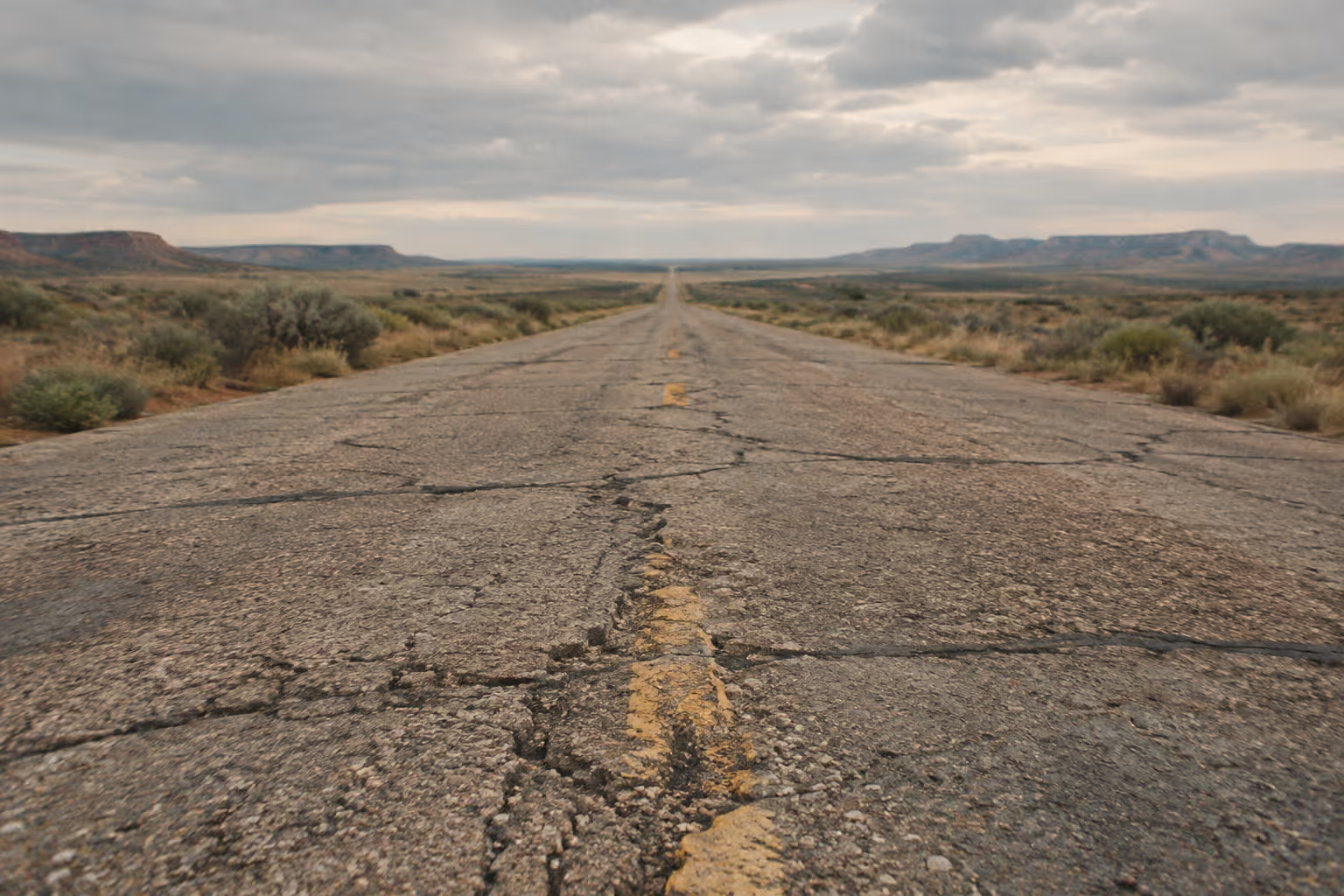
Route 66 was decommissioned as a US highway in 1985 (12), yet over 85% of its original alignments are still drivable (15), so a Route 66 road trip is less about finding the road and more about stitching its surviving pieces together. Budget at least 10 days for a brisk Chicago-to-Los Angeles run, or 14-21 days for a more leisurely trip with more stops and side trips (2). Travel between May and October, and check side-trip closures before you commit to dates.
✓ Pros
- A flexible trip can be shortened to one state or expanded across the full corridor.
- The drive rewards travelers who enjoy exploring working small towns, not just reaching headline attractions.
✗ Cons
- Planning requires choosing among alignments rather than following one continuous highway.
- A car is essential for connecting the scattered historic sections and stops.
What Route 66 Actually Is Today (and Why It’s Not One Continuous Road)
Route 66 today is a patchwork of surviving historic alignments, local streets and interstate highways across eight states, not a single signed highway you can follow end to end. The road crosses Illinois, Missouri, Kansas, Oklahoma, Texas, New Mexico, Arizona and California. Where the old pavement disappeared, the interstates took over: I-55, I-44, I-40, I-15 and I-10 form the backbone you’ll drive between preserved sections.
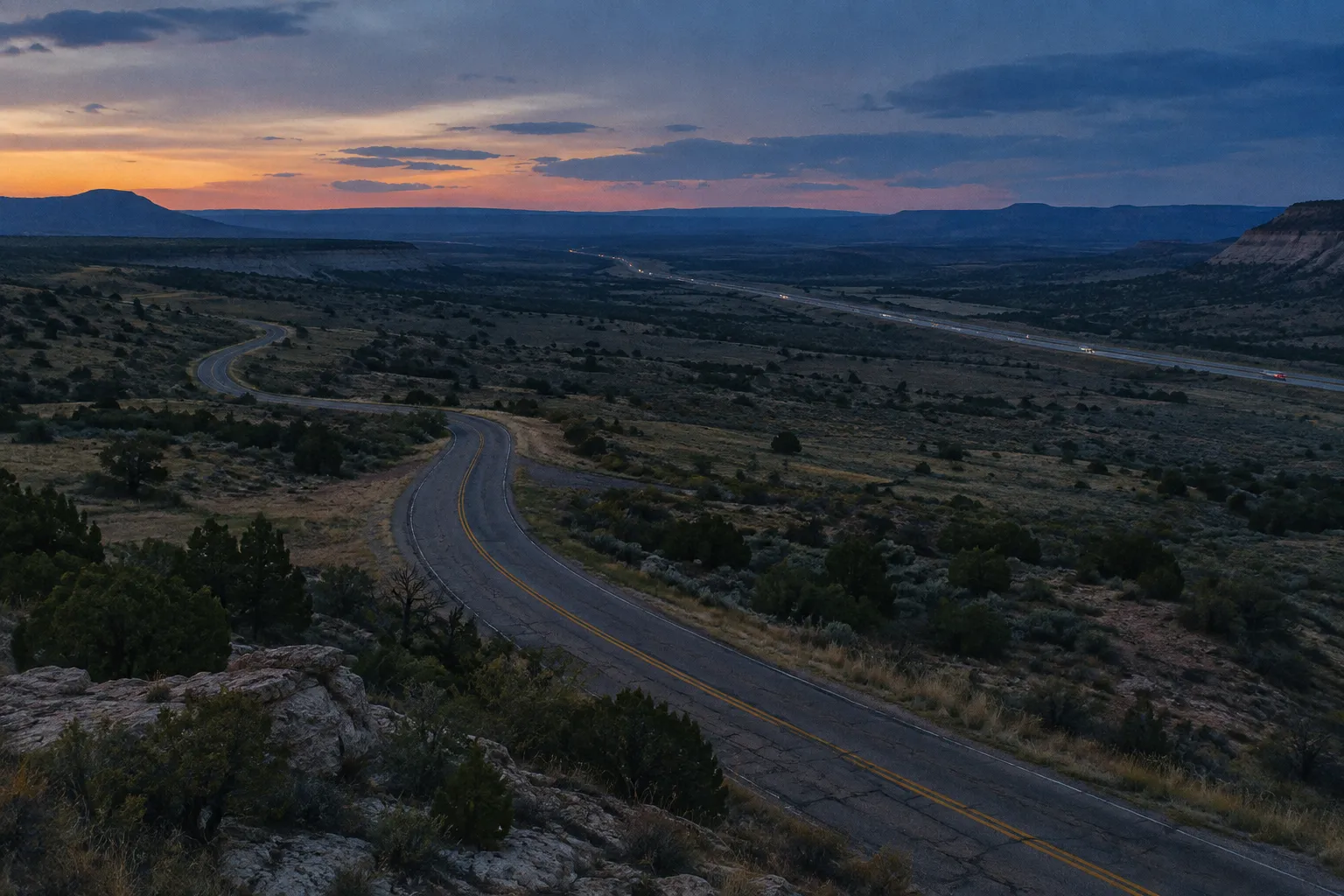
That patchwork is nothing new. When the highway opened in November 1926, it was assembled from existing local, state and national roads. It ran about 2,400 miles (3,862 km) from Chicago to Los Angeles and was not completely paved until 12 years after its designation (5). A century ago, only around 800 miles (1,287 km) of the route had a paved surface. The rest was dirt and gravel (12).
Decertification in 1985 removed the federal shields, and interstates replaced the road in places. What remains is a mix of original concrete, realigned two-lane, frontage roads and city streets. Some segments were built over, some dead-end, and some exist in two or three versions from different decades.
This is the first thing most guides get wrong: they write about “driving Route 66” as if you just point the car west. You need a map that shows the historic alignments, because road signage is inconsistent from state to state. The National Park Service offers both a printable and an interactive Route 66 map for planning (10).
The second thing guides get wrong is the endpoints. The 1926 highway was laid out to run from Chicago to Los Angeles (5). The Santa Monica Pier became its symbolic finish line in 2009, about a mile from the actual terminus at Olympic and Lincoln boulevards, and in March 2026 Chicago added a matching symbolic start at Navy Pier, about 1.5 miles from the historic start at Adams Street and Michigan Avenue (13).
2026 is the highway’s centennial year. Route 66 was commissioned on November 11, 1926, with 100th-birthday celebrations on November 10-11, 2026, including a statewide Route 66 conference and celebration in Springfield, Illinois (16). Expect more signage and more travelers than usual in the small towns along the corridor.
How Long Driving Route 66 Takes: Nonstop Hours vs Real Trip Time
Driving Route 66 nonstop takes roughly 32-38 hours of wheel time for the 2,448-mile (3,940 km) route, but a realistic trip with stops takes at least 10 days (2). Those two figures answer different questions, and confusing them is the most common planning mistake on this road.
The nonstop figure is the time behind the wheel with zero stops: no meals, no fuel, no photos. Other published estimates land a little higher. One puts it at just over 36 hours of pure wheel time (3), and another at around 40 hours (12). The spread comes from which alignments a source assumes and how much interstate it counts.
Do the math on those numbers and the problem becomes obvious. Covering 2,448 miles in 36-40 hours implies averaging roughly 61 to 68 mph (98-109 km/h) for the entire distance, including city streets in Chicago, St. Louis and Los Angeles. That pace leaves no room for a meal, let alone a museum. The nonstop estimate is a measure of distance, not a schedule.
The trip planner at route66roadtrip.com makes the same distinction. Its authors describe driving 500 miles (805 km) a day or more on other cross-country trips, but note that many experienced travelers plan about 200 miles (322 km) a day on attraction-heavy stretches like Illinois and Arizona, a pace that stretches the full route to 10-12 days (2). They recommend a minimum of 10 days from Chicago to Los Angeles, and 14-21 days or longer for a more complete trip, depending on stops, side trips like the Grand Canyon, and weather (2).
If you have three weeks of PTO, the full route fits with margin. If you have one week, don’t attempt the whole thing. Pick one or two states instead. Arizona alone, with preserved road, Oatman and Petrified Forest National Park, makes a strong short trip.
Planning Your Route 66 Road Trip Itinerary: 10 Days vs 14-21 Days
A Route 66 itinerary should be built around short daily driving legs: many experienced travelers plan about 200 miles a day where the attractions are dense (2), and a moderate 11-14 day trip averages 150-250 miles (241-402 km) a day (3). Everything else in your plan follows from that pace.
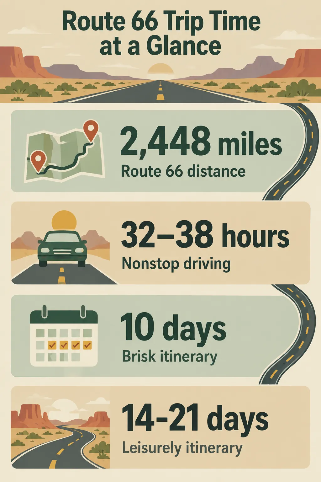 Route 66 spans 2,448 miles, with 32-38 hours of nonstop driving, at least 10 days for a brisk trip, and 14-21 days for a more leisurely itinerary.
This is where the 3-3-3 rule comes in. It’s a road-trip rule of thumb usually phrased as: drive no more than 300 miles a day, arrive by 3 pm, and stay three nights in a place when you can. Route 66 planners don’t use that name, but they apply the same logic with a lower daily mileage: at about 200 miles a day, the 32-38 hours of wheel time spread over 10-12 days (2), so most of each day is spent stopped, which is the point of choosing this road over the interstate.
Here’s the decision rule. If your priority is ticking off the major landmarks and keeping the trip shorter (fewer nights of lodging means a lower total cost), plan the 10-day version. If you want the original alignments, the museums and a real share of the over 100 historic sites on the NPS itinerary, plan 14-21 days (2) (9).
Fast 10-Day Itinerary: Hitting the Landmarks
The 10-day plan means accepting more interstate. You’ll jump on I-55, I-44 and I-40 between the big stops and use historic segments only where they pay off: the Illinois towns, the Oklahoma stretches, the Arizona sections around Seligman and Oatman.
Prioritize the signature stops listed in the state-by-state section below and skip most museums. Plan to stay overnight in the larger towns along the corridor, where lodging is easier to find. A trip this short means averaging roughly 250-350 miles a day (3), so follow a long driving day with a shorter one where you can.
Slow 14-21 Day Itinerary: Historic Alignments and Side Roads
The slow plan is where Route 66 makes its case. You can follow original alignments through Missouri and Oklahoma, stay in the classic motels, and add side trips without wrecking the schedule.
The best-known optional add is the Santa Fe loop in New Mexico. The original 1926 alignment ran north through Santa Fe until a 1937 realignment cut a more direct path through Albuquerque, and you can still choose the older northern loop (20). It is worth the extra driving if historic routing matters to you.
Use the NPS historic-site itinerary to find buildings, bridges and road alignments most visitors drive past. More than 250 Route 66 properties are listed on the National Register of Historic Places, and the itinerary highlights over 100 of them (9).
How to Plan a Route 66 Itinerary
Choose a trip length, map manageable daily legs, and decide where historic alignments and seasonal buffers fit.
- 1
Choose the trip length
Set aside 10 days for major landmarks or 14-21 days for more historic alignments, museums and side trips.
- 2
Set daily driving limits
Map legs of roughly 150-250 miles a day so there is time for stops.
- 3
Choose your route sections
Decide where to follow historic alignments and where to use the interstate.
- 4
Add a buffer
Leave one or two days for weather, closures or stops that take longer than expected.
- 5
Arrange lodging
Book ahead in small towns, particularly during the centennial year.
Route 66 Best Stops: A State-by-State Guide
The best stops on Route 66 run from the Begin sign in Chicago to the Santa Monica Pier, with one signature landmark per state anchoring the trip (4). Illinois, Oklahoma, New Mexico and Arizona have the most rewarding drivable historic stretches, alongside recognizable landmarks (4). Below, stops are ranked by whether they’re worth the detour or easy to skip when you’re short on time.
Illinois: Where the Route Begins
Illinois has the densest run of stops in the first two days, so pace yourself.
Worth the detour:
- Route 66 Begin Sign, Chicago: the famous start line (4), at Adams Street and Michigan Avenue (13). Take the photo, then get out of the city before rush hour.
- Pontiac: the Route 66 Hall of Fame and Museum, plus a walkable downtown known for its murals (4) (20). One of the best-value stops on the eastern half.
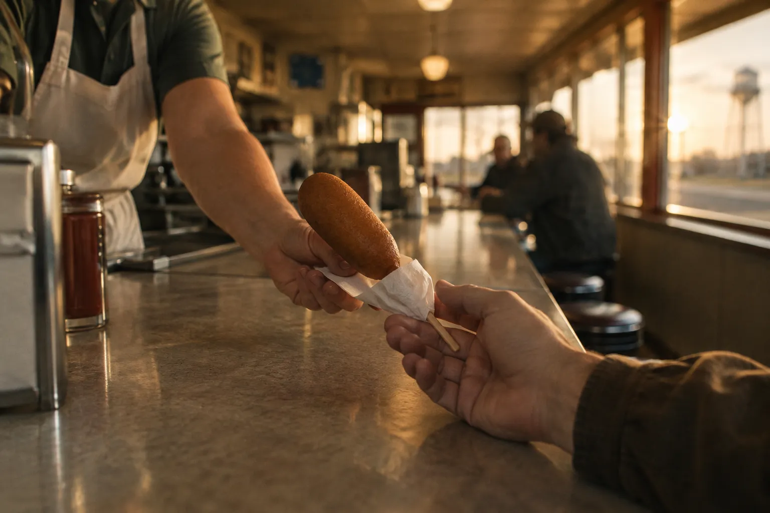
- Springfield: Abraham Lincoln sites and the Cozy Dog Drive In, famous for its corn dogs (4). A natural overnight.
- Cahokia Mounds: just off the route near Collinsville, this UNESCO World Heritage Site preserves the center of a pre-Columbian city, and a stairway climbs Monks Mound to a wide view over the site (19). The grounds are open daily from dawn to dusk, but the Interpretive Center’s galleries are closed for renovation: only its lobby opens, Wednesday through Sunday from 9 am to 3 pm, as of November 2026 (18).
Skip if short on time:
- Joliet: the Joliet Area Historical Museum and the old prison have their fans, but it’s close enough to Chicago that most people drive through.
- Odell: a historic Standard Oil station (5). A good ten-minute stop, not a destination.
Missouri and Kansas: Bridges and a Quick Crossing
Worth the detour: the Chain of Rocks Bridge over the Mississippi near St. Louis, famous for its unusual bend (4). Motor vehicles aren’t allowed on it: you walk or cycle across from Chain of Rocks Park, open daily from 7 am, until 6:30 pm in winter and as late as 9 pm from April. As of November 2026, the canal bridge on the Illinois side is closed for construction with no announced end date, so the bridge is reachable from the Missouri side only, and the westbound I-270 exit to Riverview Drive is closed too, with a detour via the Lilac Avenue exit (17).
Kansas is the shortest state segment on the route, about 13 miles (21 km) across the southeast corner (2). Its highlight is the Rainbow Bridge, one of the last Marsh arch bridges on Route 66, near Riverton (4). It’s a short stop, so there’s no reason to skip it if you’re passing through anyway.
Missouri’s long middle stretch toward Joplin is pleasant two-lane driving but light on must-see stops. On a 10-day plan, this is where you use I-44.
Oklahoma and Texas: Roadside Icons
Worth the detour:
- Blue Whale of Catoosa, near Tulsa: the whale-shaped mascot of Route 66 roadside whimsy (4).
- Cadillac Ranch, outside Amarillo, Texas: a row of half-buried Cadillacs (4). Visitors are encouraged to bring their own spray paint (20).
Oklahoma has some of the longest drivable historic stretches on the route, which makes it a good place to leave the interstate (4). The Texas Panhandle segment is short and flat. Cadillac Ranch is the stop; the rest you can drive at interstate pace without missing much.
New Mexico and Arizona: Desert Landmarks
Worth the detour:
- Blue Swallow Motel, Tucumcari, New Mexico: one of the most beloved overnight stops on the route, in a town known for its neon (4). Book a night here instead of just photographing it.
- Petrified Forest National Park, Arizona: the only national park directly tied to Route 66 (4), and the best national park stop on the road. The park is open 8 am to 5 pm, every day except Thanksgiving and Christmas (21).
- Oatman, Arizona: an old mining town at the end of 42 miles of winding road from Kingman, known for the burros that wander its main street (12).
Skip if short on time: the Wigwam Motel in Holbrook, Arizona (4) is a great photo, but if you’ve already stayed at the Blue Swallow, a drive-by is enough.
The western states climb to roughly 7,000 ft (2,134 m) at their high point (2), which matters for the weather section below.
California: The Final Stretch to Santa Monica
The California run crosses the Mojave Desert before the dense, slow drive through the Los Angeles basin. Fuel up before the long desert gaps, and plan the LA portion outside rush hour.
Worth the detour: the Santa Monica Pier, the most popular symbolic endpoint (4). Finish there for the photo, knowing the road’s actual terminus is about a mile away at Olympic and Lincoln boulevards (13).
When to Go: Best Season and Seasonal Closures
The best time for Route 66 is May through October, with September and June the two most ideal months (11). The best single month is September: the worst of the western heat has passed, the season is still fully operational, and Grand Canyon North Rim access remains open.
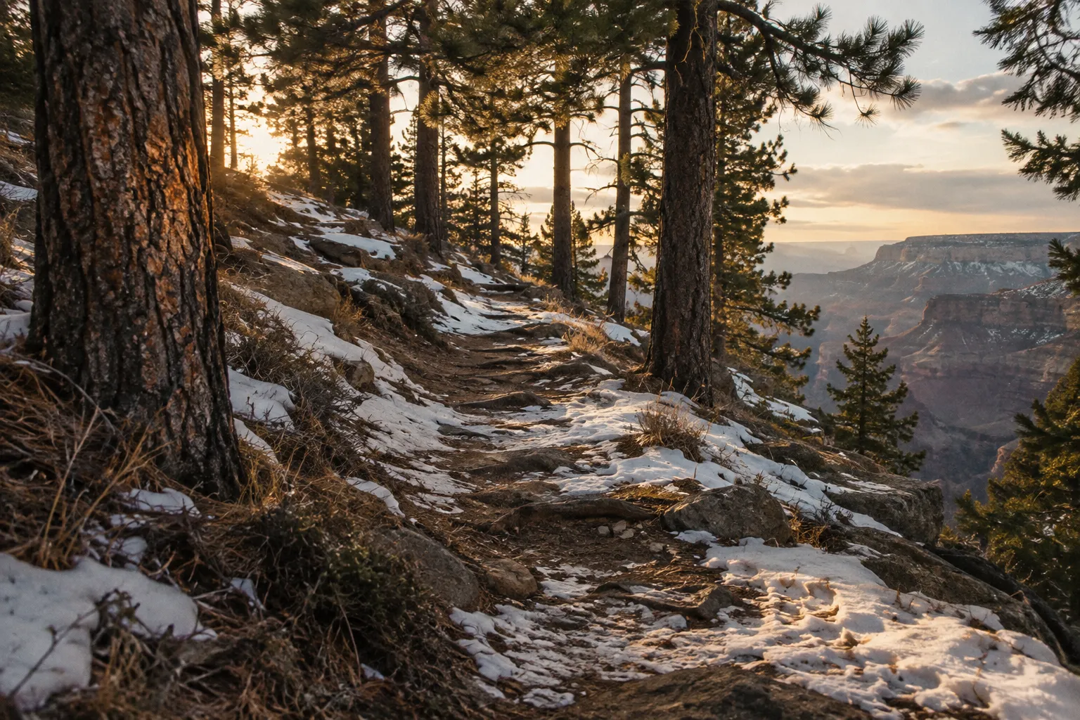
Winter is the wrong time for the full route. January travel isn’t recommended because snow, frost and cold cover most of the states the road crosses, and in February some roads can close for weather and many businesses run on off-season schedules (11). Even in April, snow and ice can still hit the elevated parts of Arizona (11). November brings chilly autumn weather, with rain, fog and temperatures just above freezing in Illinois, Missouri and Oklahoma, while the West stays milder and Arizona’s high ground can see snow (11).
Summer has its own problems. June is more stable and not yet at peak heat, which makes it the runner-up month (11). By July, temperatures can rise above 104°F (40°C), especially in the West (11). Southwestern monsoon storms are the other summer risk, bringing afternoon storms to the desert stretches.
Critical warning for Grand Canyon side trips: the North Rim generally closes to vehicle traffic when Arizona closes Highway 67 for winter, usually by December 1, and access doesn’t resume until facilities reopen in mid-May (6). In 2026 the North Rim is open through November 30, or until the first major snowstorm, but services focus on day use and there is no overnight lodging inside the park, since the 2025 Dragon Bravo Fire destroyed the Grand Canyon Lodge (14). If the North Rim is on your list, your window is mid-May to late November. Weather and agency decisions can shift those dates, so check current Arizona road conditions before you go rather than relying on the usual timing (6).
Getting Your Car and Gear Ready Before You Go
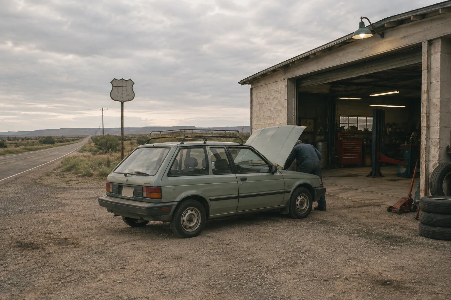
Before a Route 66 trip, check your spare tire, fluid levels and offline navigation, because the western half includes long rural stretches with limited services and unreliable cell coverage. Small issues are easy to fix in Springfield. They’re harder to fix in the Mojave.
Before you leave:
- Inspect the spare tire and confirm you have a working jack and lug wrench
- Top off oil, coolant and washer fluid, and check tire pressure with a full load
- Download offline maps for every state, and carry the printable NPS Route 66 map as a paper backup (10)
- Pack extra water and snacks for the desert stretches in New Mexico, Arizona and California
- Refuel when you’re at half a tank in the West instead of waiting for the warning light
- Check current road conditions the morning of each driving day, especially for mountain segments like the road to Oatman
Independent repair shops along the route are part of its fabric. In the centennial year, the Route 66 Road Ahead Partnership awarded 14 preservation and economic development grants of $2,500 each, four of them to independent auto repair shops in Illinois, Missouri and Tulsa (8). If you need a mechanic on the road, those small-town garages are where you’ll end up.
Frequently Asked Questions
- Is Route 66 a pretty drive?
- Route 66 is most scenic where historic road, distinctive terrain and roadside landmarks meet; the experience varies considerably between states.
- What is the 3-3-3 rule for a road trip?
- It's shorthand some road trippers use for pacing: a daily mileage cap, an early stop time and multiple nights in one bed before moving on again. Route 66 planners don't use the name, but their advice of about 200 miles a day on attraction-heavy stretches follows the same instinct.
- What are some stops on Route 66 in Illinois?
- Pontiac's murals and Hall of Fame museum reward a slow walk, and Springfield's Cozy Dog Drive In is worth timing a meal around. If pre-Columbian earthworks interest you, build in the extra time for Cahokia Mounds near Collinsville.
- How much would it cost to do a Route 66 road trip?
- The largest budget variables are trip length, lodging and a one-way rental; compare rental quotes early because drop-off charges vary.
- How long does it take to drive Route 66?
- Behind-the-wheel time alone runs 32-38 hours, but nobody drives it that way. Spread across meals, photo stops and a few museum visits, the trip stretches to at least 10 days, longer if historic alignments and side roads are on your list.
- What can you see at Cahokia Mounds?
- Cahokia Mounds lets visitors explore the remains of a pre-Columbian city, including Monks Mound and earthworks that predate Route 66 by centuries.
- Can you drive Route 66 in winter?
- You can drive many corridor sections in winter, but snow, business schedules and seasonal side-trip closures make a full-route itinerary less predictable.
Your Next Step: Pick a Length, Then Check the Closures
Choose your trip length first. Ten brisk days gets you the landmark run from the Begin Sign to the Santa Monica Pier with plenty of interstate in between. Fourteen to 21 days gets you the historic alignments, the Santa Fe loop and a real share of the over 100 NPS-listed sites (2) (9). Then pull up the NPS printable and interactive Route 66 maps (10), sketch daily legs of about 150-250 miles, and target September or June. If the Grand Canyon’s North Rim is on the list, confirm Highway 67 is open before you lock in dates, since it usually closes by December 1 and stays closed until mid-May (6).